Driving the Seward Highway: Anchorage to Seward
The Seward Highway is 127 miles of the most dramatic coastal and mountain scenery you can drive in North America. Designated an All-American Road (the highest designation a road can earn in the US), it follows the shore of Turnagain Arm, climbs through the Kenai Mountains, and drops into the port town of Seward on Resurrection Bay.
The drive takes about 2.5 hours without stops. Plan for 4-5 hours with stops, because you will want to stop constantly. This road is a highlight of every Alaska road trip itinerary, and it deserves your attention.
Mile-by-Mile Highlights
Mile markers on the Seward Highway count down from Anchorage (mile 127) to Seward (mile 0). We will follow them in driving order, south from Anchorage.

Anchorage to Turnagain Arm (Miles 127-90)
You leave Anchorage heading south on the New Seward Highway, which quickly transitions from urban freeway to two-lane mountain road. Within 15 minutes of downtown, you are driving along Turnagain Arm, a narrow fjord carved by glaciers and squeezed by tides.
Potter Marsh / Anchorage Coastal Wildlife Refuge (Mile 117): A boardwalk over wetlands where migratory birds nest. Arctic terns, Canada geese, and ducks are common in summer. It is free and takes 15-30 minutes.
McHugh Creek (Mile 111): A state recreation area with picnic spots and trails. The McHugh Creek Trail climbs to Rabbit Lake (a full-day hike) but the lower portion offers good views of the Arm.
Beluga Point (Mile 110): The best roadside spot for beluga whale viewing. A large pulloff with interpretive signs overlooks the Arm. Belugas follow salmon runs and are most commonly seen from mid-July to mid-August. Bring binoculars and patience. The white whales are easy to spot against the gray water when they surface.
Windy Point (Mile 107): A popular pulloff for Dall sheep viewing. These white mountain sheep graze on the steep cliffs directly above the highway. They are present year-round but most visible in spring and early summer. Look up, not out.
Bird Ridge Trail (Mile 102): One of the best short hikes near Anchorage. The trail gains 3,000 feet in 2 miles to a ridge above treeline with panoramic views of Turnagain Arm. It is steep and direct. Allow 3-4 hours round trip. Worth it if you have the time.
Girdwood and Portage (Miles 90-79)
Girdwood / Alyeska Resort (Mile 90): Turn off the highway and drive 3 miles into Girdwood, a ski town nestled in a valley. In summer, take the Alyeska Aerial Tram ($45/person) to the top of Mount Alyeska for 360-degree views of glaciers, mountains, and the ocean.
Eat at The Bake Shop for pastries and sandwiches, or Jack Sprat for a more serious meal. Girdwood has a relaxed mountain-town vibe and is worth an hour or two.
Portage Glacier (Mile 79): A 5.4-mile side road leads to the Begich Boggs Visitor Center on Portage Lake. The glacier has retreated out of direct view from the center, but the valley is scenic and the visitor center has good exhibits on glaciology. A boat cruise on the lake to the glacier face runs about $49/person.
Want a custom itinerary built for your trip? We'll plan your entire Alaska road trip around your dates, budget, and interests. Get your custom itinerary →
The Kenai Mountains (Miles 79-37)
After the Portage junction, the highway leaves the coast and climbs into the mountains. The scenery shifts from coastal fjord to alpine passes and glacier-carved valleys.
Turnagain Pass (Mile 68): At 988 feet, this broad alpine pass is carpeted with wildflowers in June and July. There is a large parking area and restrooms. In winter, this is a popular backcountry ski area. In summer, it is a great place to stretch your legs and breathe mountain air.
Summit Lake (Mile 45): A beautiful alpine lake surrounded by peaks. Summit Lake Lodge sits on the shore and is a good coffee or lunch stop. The lake reflects the surrounding mountains on calm days.
Moose Pass (Mile 29): A tiny community with a couple of restaurants and a post office. The Moose Pass sign is a popular photo stop. Trail Lake is nearby for fishing.
Approaching Seward (Miles 37-0)
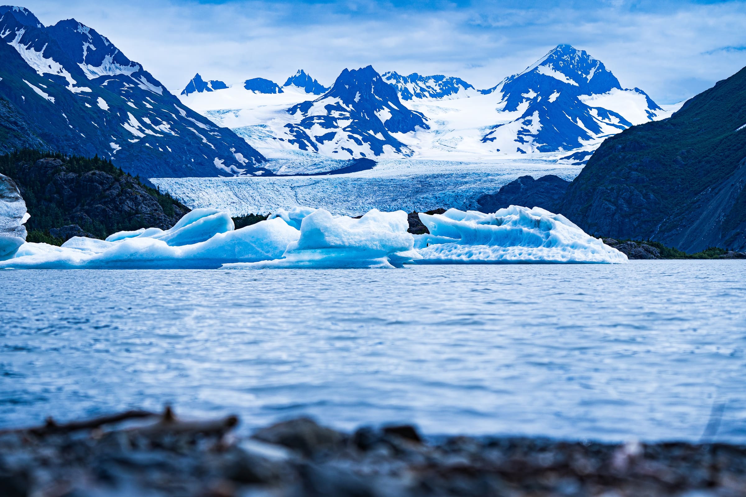
Exit Glacier Road (Mile 3.7): Turn left onto Exit Glacier Road and drive 8 miles to the Kenai Fjords National Park area. This is an essential stop.
- Exit Glacier trail (1 mile round trip, easy): A paved path to the face of Exit Glacier. Signs along the trail show where the glacier stood in past decades, making climate change viscerally real.
- Harding Icefield Trail (8.2 miles round trip, strenuous): Climbs from the forest floor to an overlook above the Harding Icefield, a 700-square-mile expanse of ice that feeds dozens of glaciers. This is one of the best day hikes in Alaska.
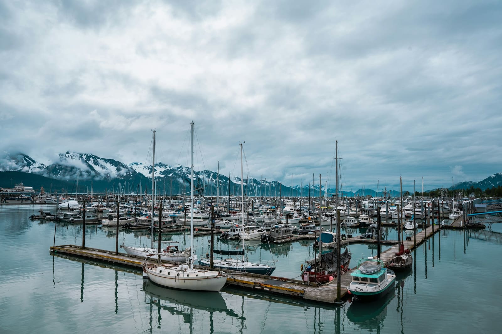
Seward (Mile 0): The highway ends at the small port town of Seward, population around 2,800. This is the launching point for Kenai Fjords boat tours, fishing charters, and kayak trips. The waterfront is walkable and charming.
Driving Tips
- Watch for wildlife on the road. Moose cross the highway, especially in early morning and evening. A moose collision is serious. Slow down in forested sections.
- Use pulloffs. The highway is two lanes for most of its length. Pull over to let faster traffic pass, and use designated pulloffs for photos. Do not stop in the driving lane.
- Check for construction. Summer is road construction season in Alaska. Check the Alaska DOT 511 website for delays before you leave.
- Bore tides. Turnagain Arm has some of the largest bore tides in North America. Check the tide tables for timing. A bore tide is a wave of incoming water that rolls up the Arm, sometimes several feet high. Best viewed from Beluga Point or Bird Point.
- Fill up in Anchorage. Gas is cheapest in the city. The next reliable stations are in Girdwood and Seward.
When to Drive
The Seward Highway is open year-round but is best for road trips from late May through September. See our month-by-month guide for details on seasonal conditions.
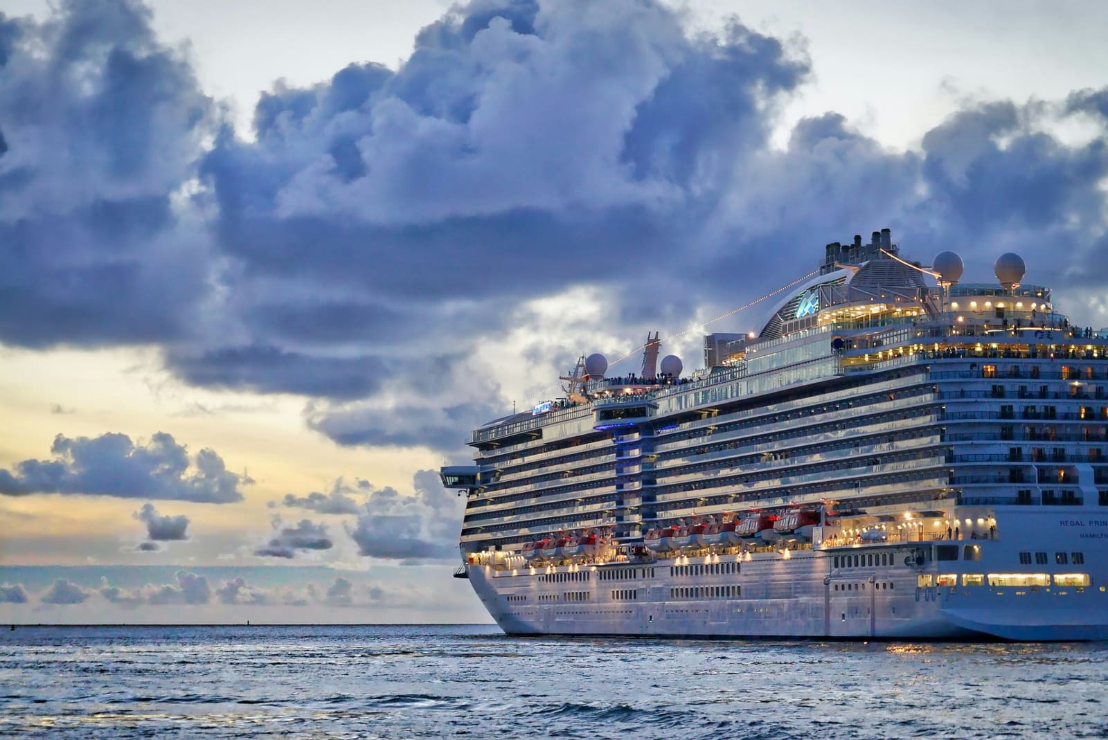
If you are driving to Seward for a Kenai Fjords boat tour (highly recommended), plan to arrive the afternoon before your tour. Most cruises depart at 8-9 AM, and you do not want to rush the drive. If you would rather not drive, compare the rail, motorcoach, and cruise-shuttle options in our Anchorage to Seward transfer guide.
The Seward Highway is the first leg of both the Kenai Peninsula loop and the Anchorage to Homer drive.

Understanding Turnagain Arm
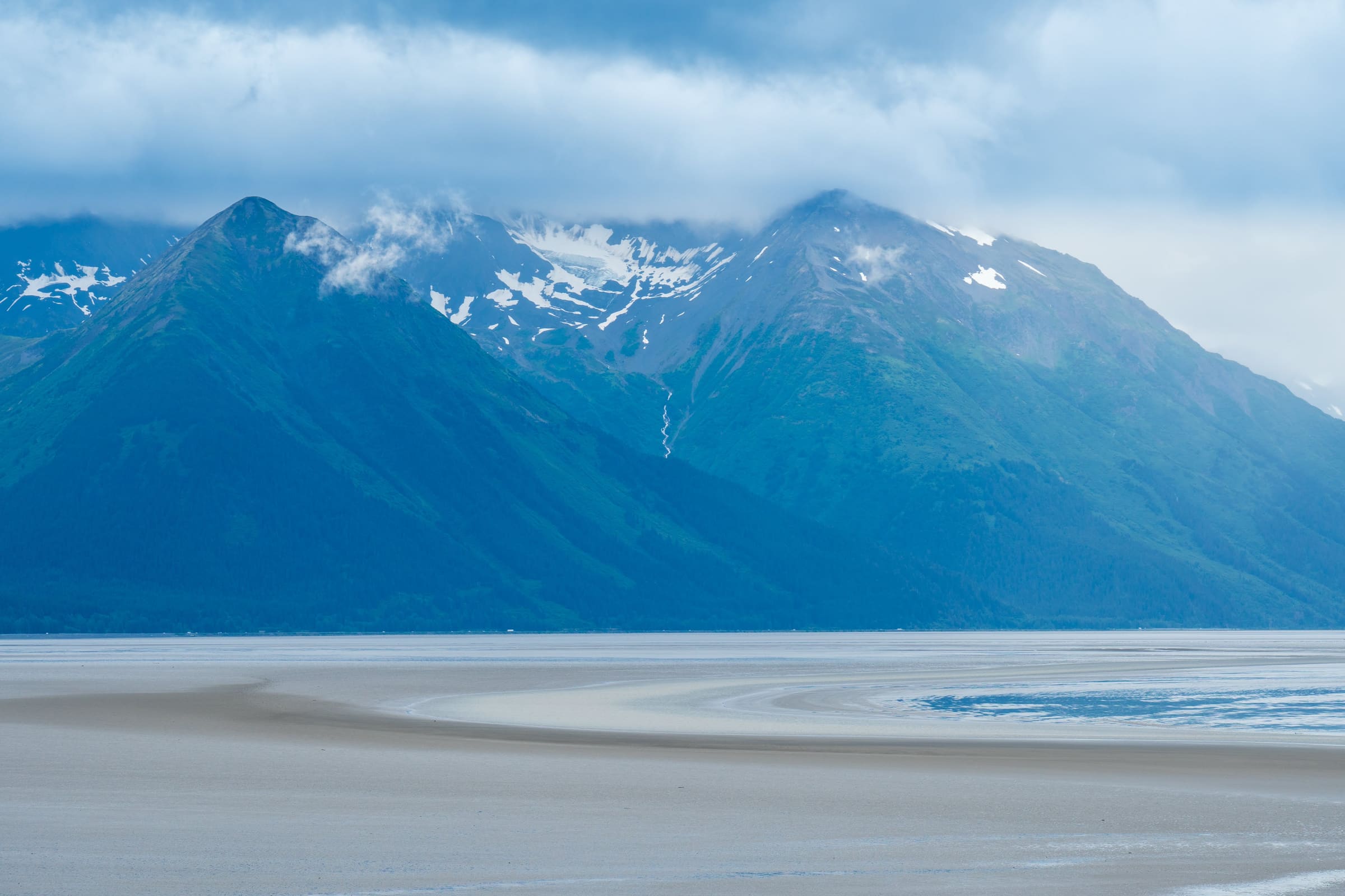
Everything dramatic about the first half of this drive traces back to the geology of Turnagain Arm. The Arm is a long, narrow fjord — roughly 50 miles from Anchorage to its head at Portage — that Captain Cook named in 1778 when he realized he'd have to "turn again" after hitting another dead end while searching for the Northwest Passage. It's shallow, silt-choked, and ringed by the Chugach Mountains on the north and the Kenai Mountains on the south.
Two things make it worth slowing down for: the tides and the wildlife.
Bore Tides
Turnagain Arm has the second-largest tidal range in North America — up to 40 vertical feet between low and high tide. When a big high tide pushes into the narrowing funnel of the Arm, the incoming water can form a single cohesive wave called a bore tide. On the best days, it's a two-to-six-foot wall of water rolling up the Arm at around 10–15 mph, sometimes with surfers riding it.
To see a bore tide, you need three things: a minus-low tide (check a tide table for anything below –2.0 feet), a viewing spot, and timing. The bore passes Beluga Point roughly 2 hours 15 minutes after the listed Anchorage low tide. Bird Point is about 15 minutes later. Check the NOAA tide table for Anchorage, subtract the low tide's height, and plan around it. On lower-range days, the bore is subtle — a ripple that only locals notice. On spring-tide days with a –4 or lower, it's unmistakable.
Beluga Whales
The Cook Inlet beluga population is federally endangered and numbers only about 330 animals. They follow salmon into Turnagain Arm each summer, and when they're present, you can watch them hunt in the shallow water just offshore. Best viewing is mid-July through mid-August on an incoming tide — the whales ride the surge in after fish. Beluga Point (mile 110) is the best pullout; Bird Point (mile 96) is second best. A good rule: if you see birds working the water aggressively, look closer — belugas often push schools of fish toward the surface.
Extended Mile-by-Mile: Anchorage to Girdwood
The stretch between miles 127 and 90 is where most of the iconic Turnagain Arm pullouts live. Here are the ones I'd add to the short list above if you have the time.
McHugh Creek Picnic Area (Mile 112): Beyond the boardwalk at Potter Marsh, McHugh has better waterfall views and the start of the McHugh Lake Trail. Even walking the first half mile gets you a good photo of the Arm.
Rainbow Creek (Mile 108): A small pullout that most people blow past. The creek is a classic salmon stream and a good place to see Dolly Varden char in clear water during low tide.
Indian Valley Trailhead (Mile 103): An alternative to Bird Ridge for a shorter hike. Indian Valley follows the creek up toward Indian Pass through forest — shade, stream, bear country. Turn around whenever; there's no set destination.
Bird Point (Mile 96): Second bore-tide viewpoint and arguably a better sunset spot than Beluga Point because of the angle of the Arm. Paved parking, bathrooms, and a short interpretive trail.
Bird Creek (Mile 101): A famous combat-fishing hole during the pink salmon run (even years) and silvers in August. If you've never seen shoulder-to-shoulder fishing, park and walk down — it's a spectacle.
Girdwood as a Base Camp
Most itineraries treat Girdwood as a one-hour lunch stop, and that's fine. But if you want to slow the drive down and spend a night somewhere between Anchorage and Seward, Girdwood is the move. It has better food than Seward, a real ski-town atmosphere, and puts you 45 minutes closer to the Kenai Fjords boat tour dock for an early-morning departure.
- Hotel Alyeska: The full-service resort hotel at the base of the mountain. Pool, spa, fine dining, and the tram right out the door.
- Alyeska cabins and B&Bs: Girdwood has dozens of private vacation rentals hidden in the forest. Prices are reasonable outside peak weekends.
- Winner Creek Trail: An easy 2.7-mile one-way hike through rainforest to a hand-tram across a gorge. Tram is sometimes closed for maintenance — check at the trailhead.
- Crow Creek Mine: A historic gold mine where you can try your hand at panning. Touristy but fun with kids.
Winter on the Seward Highway
The highway is plowed year-round, but it becomes a fundamentally different road from October through April. Conditions can include black ice along Turnagain Arm, avalanche closures near Turnagain Pass, and winds that push vehicles around on exposed sections. On the upside: the Chugach Mountains in full snow are extraordinary, Alyeska is a world-class ski resort, and you get a shot at northern lights from Turnagain Pass pullouts on clear nights.
If you're driving this in winter: a full-size AWD or 4WD vehicle with proper snow tires (not all-seasons), daylight-only driving when possible, and a charged phone plus extra warm layers in the car. Check Alaska 511 conditions before every leg. Do not rely on pullouts for bore tides in winter — ice forms on the Arm and the viewing is limited.
Photography Notes
The light on Turnagain Arm changes hour-by-hour in a way that rewards patience. Morning light (east-facing side of the Arm) is soft and clean. Mid-day is often washed out if it's clear. Late afternoon into evening, when the sun drops behind the Kenai Mountains, the light rakes across the water and the mudflats go copper. That's the hour photographers drive down for.
For the southern stretch through the Kenai Mountains, Summit Lake and Kenai Lake (visible near mile 23–24) are the highlights. Kenai Lake's turquoise color comes from glacial flour — rock dust ground fine enough to stay suspended in the water. It photographs best under direct overhead light when the suspended sediment scatters light toward the surface.
Once you have the light dialed in here, the same scout-the-location-first habit pays off anywhere you shoot. Heading abroad with the camera? Iceland Photo Map offers GPS photo-location maps (KML, GPX, and GeoJSON) for 120+ Iceland waterfalls, landscapes, and lighthouses you can load straight onto your phone or GPS.
One More Thing: The Portage Valley Detour
Most drivers blow right past the turn to Portage Lake because they've heard the glacier "retreated out of view." That's technically true — you can't see the main face of Portage Glacier from the visitor center anymore. But the 5.4-mile side road into Portage Valley is one of the most photogenic spurs off the Seward Highway, and the valley is worth the 20-minute detour even without the glacier.
Stops along Portage Valley Road: Williwaw Salmon Viewing Platform (where you can watch spawning red salmon in a clear-water creek in August), Explorer Glacier (visible from a pullout), Middle Glacier (also visible), and the Begich Boggs Visitor Center with its glaciology exhibits. A boat cruise on Portage Lake will take you to the face of the glacier if you want it. You can also continue through the Anton Anderson Memorial Tunnel — the longest combined rail-and-highway tunnel in North America — to the small community of Whittier and its boat harbor. If you are starting or ending a cruise there, our Whittier cruise port guide covers tunnel timing, transfers, and land-trip options.
Quick answers
Seward Highway drive: frequently asked questions
The Seward Highway runs 127 miles from Anchorage to Seward, about 2.5 hours of driving. It is a National Scenic Byway, so most travelers plan a full day to stop for Turnagain Arm, Beluga Point, Girdwood, and the trailheads along the way.
The standouts are Beluga Point for whale and bore-tide watching, Girdwood and the Alyeska tram, the Portage Glacier turnoff, Turnagain Pass, and the Tern Lake Junction. Near Seward, Exit Glacier in Kenai Fjords National Park is a short detour worth making.
No more than any two-lane mountain highway, with one caveat: the mix of visiting drivers, wildlife, RVs, and a few notorious passing-zone accidents has given it a reputation. Drive defensively, do not pass on blind curves, and use pullouts to let traffic by. Moose collisions are the single biggest real risk, so reduce speed at dawn and dusk in forested sections.
Plan a minimum of 3 hours if you hit one or two pullouts. Five hours is more realistic if you want to actually experience Beluga Point, Girdwood, and Exit Glacier, and a full leisurely day is ideal if you can build it in.
It is spotty but not terrible. Service is strong around Anchorage, Girdwood, and Seward, and patchy through the Kenai Mountains between Portage and Moose Pass. Download offline maps before you leave.
Parts of the highway have a paved bike path, and the Indian-to-Girdwood Pathway is 13 miles of separated, spectacular trail. Riding the full highway is not recommended, though, because the shoulders are too narrow and the traffic too fast in many sections.
Girdwood has the best options: The Bake Shop for sandwiches and pastries, Jack Sprat for a proper meal, or Chair 5 for pub food. Otherwise Summit Lake Lodge at Mile 45 is the only real mid-route restaurant, so pack snacks if you are not timing Girdwood right.
Still have a question about your trip?
Get a custom itinerary — $197
See a real Alaska itinerary before you spend a dollar
A real 3-day plan with driving times, lodging picks, and a daylight chart — free, in your inbox.
One email. No spam. Unsubscribe anytime. Or view it right now — no email needed ↗
Ready for the full plan? Get your custom itinerary — $197 · 5-day delivery →