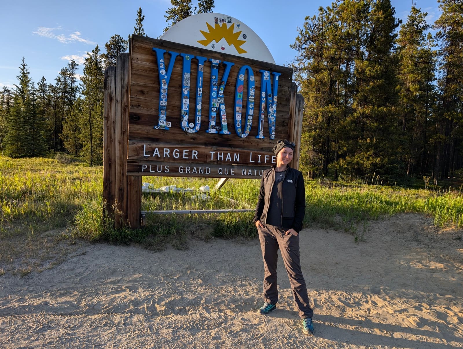
If you are seeking the ultimate northern driving adventure, look no further. This comprehensive top of the world highway guide will prepare you for one of the most breathtaking, rugged, and remote routes in North America. Connecting the historic gold rush town of Dawson City, Yukon, to the deep wilderness of eastern Alaska, the Top of the World Highway (Yukon Highway 9 and Alaska Route 5) is not just a road—it is a rite of passage for intrepid travelers.
Unlike standard paved interstates, this route demands respect, preparation, and a spirit of adventure. You will drive along the crests of ancient, rolling mountains, looking down into vast, untouched valleys. But the thrill of the drive comes with significant logistical challenges: unpredictable gravel surfaces, zero cellular service, and a remote international border crossing that operates on strict seasonal hours.
What is the Top of the World Highway?
The Top of the World Highway stretches approximately 127 kilometers (79 miles) from Dawson City in the Yukon Territory to Jack Wade Junction in Alaska, where it meets the Taylor Highway. The highway earns its dramatic name because, for much of its length, it skirts the very peaks and crests of the hills rather than winding through the valleys below. This unique engineering choice provides drivers with unobstructed, panoramic views that stretch for hundreds of miles on clear days.
Historically, this route was carved out to connect the mining communities of the Klondike with those in the Fortymile River district of Alaska. During the late 1890s Gold Rush, prospectors relied on treacherous pack trails and river routes to navigate this unforgiving terrain. Today, the modern dirt and gravel highway remains a vital, albeit seasonal, artery for tourists, miners, and locals making the journey between the Canadian and American north.
The Journey Begins: Dawson City and the George Black Ferry
Your journey on the Top of the World Highway actually begins on water. Because there is no bridge spanning the mighty Yukon River at Dawson City, travelers must cross using the George Black Ferry. This free, government-operated ferry runs continuously during the summer months, shuttling vehicles across the fast-moving current.
Expert Tip: During peak summer travel months (July and August), RV traffic can cause significant delays at the ferry terminal. It is highly recommended to line up early in the morning or cross late in the evening. Once you roll off the ferry on the western bank of the Yukon River, the pavement quickly ends, and the rugged ascent begins.
Navigating the Route: Highlights and Milestones
The Climb and the Viewpoints
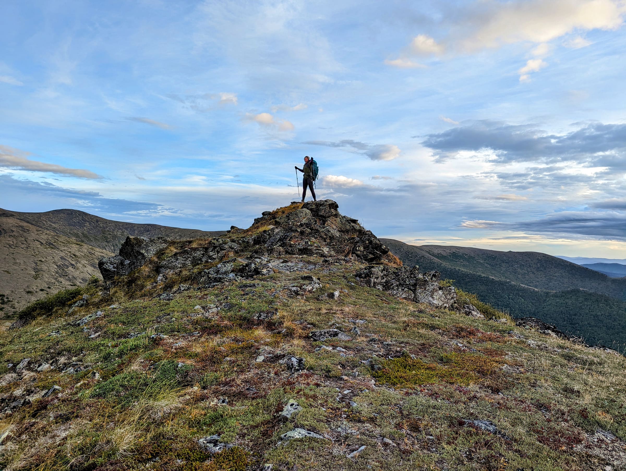
Immediately after leaving the ferry, the road climbs steeply out of the river valley. Within minutes, you are elevated above the tree line. The landscape transitions into alpine tundra, characterized by low-lying shrubs, vibrant summer wildflowers, and sweeping vistas. There are several unmarked pullouts along the Yukon side; use them. The views looking back toward the Yukon River and the distant Ogilvie Mountains are unparalleled.
The Poker Creek - Little Gold Creek Border Crossing
At kilometer 105 (mile 65), you will reach the Poker Creek - Little Gold Creek border crossing. Sitting at an elevation of over 4,100 feet, it is widely recognized as the highest international border crossing in North America. It is also one of the most remote. The facility is a joint operation between the Canada Border Services Agency (CBSA) and U.S. Customs and Border Protection (CBP).
Because of its extreme location, this border is strictly seasonal. It typically opens in late May or early June and closes in September, depending entirely on snow conditions. Furthermore, it is not open 24 hours a day. Operating hours are usually 8:00 AM to 8:00 PM (Alaska Time), but you must verify this before your trip. If you arrive after the gates close, you will be sleeping in your vehicle at the top of a freezing mountain.
Note on Time Zones: Remember that Alaska is one hour behind the Yukon. Factor this time change into your travel calculations to ensure you do not miss the border crossing window.
Boundary and the Descent into Alaska
Once you clear U.S. Customs, you are officially on Alaska Route 5. The first settlement you encounter is Boundary, Alaska. Historically a rest stop with a lodge, Boundary is largely abandoned today, though it serves as a great photo opportunity. From here, the road begins its gradual, winding descent toward the Taylor Highway.
Chicken, Alaska: A Must-Stop Destination
After merging onto the Taylor Highway (Alaska Route 5 continues south), you will soon arrive in the quirky, off-grid community of Chicken, Alaska. Founded by gold miners in the late 1800s, the town was supposedly named "Chicken" because the founders did not know how to spell "Ptarmigan" (the local game bird). Today, Chicken offers a café, a saloon, a mercantile, and an RV park. It is the perfect place to grab a slice of pie, view the historic Pedro Dredge, and stretch your legs after hours of intense driving.
Road Conditions and Expert Driving Techniques
Do not let the term "highway" deceive you. The Top of the World Highway is predominantly a gravel and dirt road. While the Yukon side receives regular grading and features some sections of chip-seal (a light pavement), the Alaska side—particularly the stretch between the border and the Taylor Highway—can be notoriously rough.
- Potholes and Washboards: Heavy RV traffic and extreme winter weather create deep potholes and severe washboarding. Driving too fast on washboards reduces your tire traction to near zero, making steering dangerously unresponsive.
- Dust and Visibility: In dry weather, passing vehicles kick up massive plumes of blinding dust. The Alaska Department of Transportation recommends that you always drive with your headlights on and slow down when approaching oncoming traffic to prevent rocks from shattering your windshield.
- Mud and Slick Surfaces: During heavy summer rainstorms, the dirt surface turns into a slick, calcium-chloride-laced mud. This mud is incredibly slippery and can coat your vehicle, obscuring your lights and windows.
- Lack of Guardrails: Much of the road features steep, sheer drop-offs with absolutely no guardrails. Drivers must stay alert, keep two hands on the wheel, and avoid target fixation on the cliff edges.
To navigate these hazards safely, employ expert gravel driving techniques. First, consider airing down your tires slightly (dropping 5-10 PSI from your standard highway pressure). This softens the ride over washboards and allows the tire tread to flex over sharp rocks rather than puncturing. Second, utilize engine braking on the long descents into Boundary and Chicken. Downshifting your transmission prevents your brakes from overheating and failing on the steep grades.
If you are debating what type of vehicle to take, you must weigh the pros and cons carefully. Read our comprehensive guide on choosing an RV vs. Car for your Alaska road trip to determine which setup is best suited for gravel highways.
Essential Preparation and Safety Guidelines
Driving the Top of the World Highway requires self-reliance. There are no tow trucks waiting nearby, and a breakdown here can be a costly, multi-day ordeal.
1. Fuel Management
There are zero fuel stations between Dawson City, Yukon, and Chicken, Alaska. Depending on your vehicle's fuel economy—which will drop significantly due to the slow speeds, steep grades, and gravel resistance—you must leave Dawson City with a completely full tank. For larger RVs or vehicles towing trailers, carrying an approved auxiliary fuel jug is highly recommended. Proper fuel planning in Alaska is critical to avoid being stranded in the wilderness.
2. Tires and Spares
Standard passenger car tires (P-metric) are highly susceptible to rock punctures on this route. Light Truck (LT) tires with thicker sidewalls are strongly preferred. Regardless of your tire type, you must carry at least one full-size spare tire. A temporary "donut" spare will not survive the gravel roads. Ensure your jack is functional and that you have the tools necessary to change a tire on a soft dirt shoulder.
3. Emergency Communication
There is absolutely no cellular service on the Top of the World Highway. If you experience a medical emergency or a severe mechanical failure, you cannot call 911 from your cell phone. Carrying a satellite communication device, such as a Garmin inReach or Zoleo, is a non-negotiable safety measure for modern remote travel.
4. Connecting Your Route
Most travelers use the Top of the World Highway as a scenic detour to connect the Klondike Highway with the Alaska Highway. After passing through Chicken, you will take the Taylor Highway south to Jack Wade Junction, eventually hitting the Alaska Highway at the town of Tok. Tok serves as a major hub where you can repair tires, wash the thick mud off your vehicle, and restock supplies.
For up-to-date information on the Canadian side of the route, always check the Yukon 511 road conditions map before departing Dawson City.
Wildlife Viewing and Safety
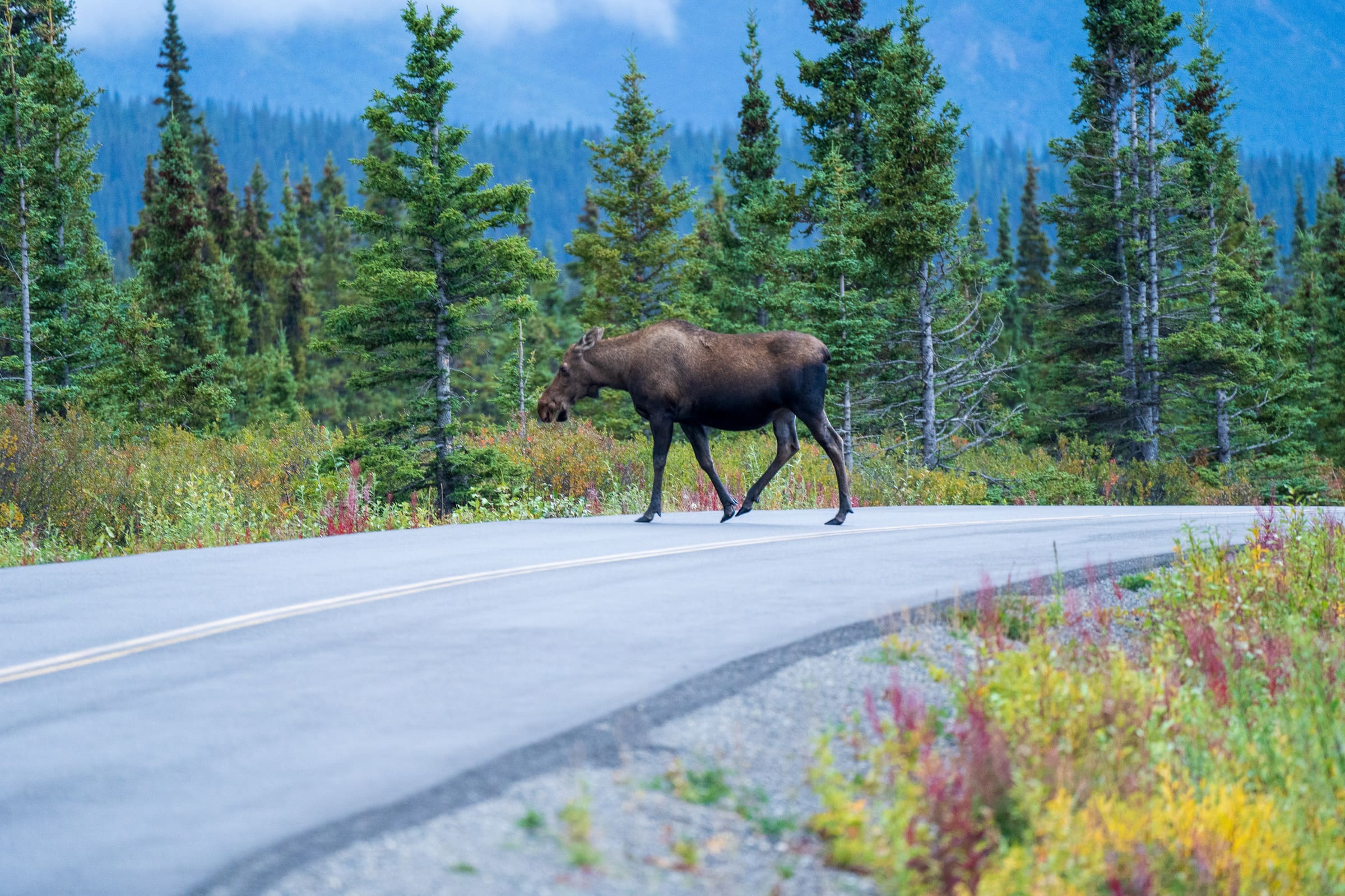
The remote nature of the Top of the World Highway makes it a prime corridor for northern wildlife. Drivers frequently spot moose foraging in the brush, ptarmigan darting across the gravel, and occasionally grizzly bears roaming the alpine tundra. The region is also part of the migratory path for the Fortymile Caribou Herd.
While wildlife sightings are a highlight of the trip, they require caution. Safety guidelines from the Alaska Department of Fish and Game emphasize that you should never stop your vehicle in a blind corner or just over the crest of a hill to take photographs. If you spot an animal, pull over safely onto a straightaway shoulder, turn on your hazard lights, and observe from inside your vehicle. Do not approach bears or moose under any circumstances.
Frequently Asked Questions
Is the Top of the World Highway paved?
No, the majority of the Top of the World Highway is unpaved. It consists of gravel, dirt, and some sections of chip-seal. The condition of the road varies greatly depending on recent weather and maintenance schedules. Expect rough, dusty, and potentially muddy conditions.
Can you drive an RV on the Top of the World Highway?
Yes, many people drive RVs and tow travel trailers across this route every summer. However, you must drive slowly and carefully. The steep grades, tight corners, and washboard surfaces can be hard on RV suspensions and cabinetry. Ensure everything inside your rig is securely fastened down before starting the drive.
How long does it take to drive the Top of the World Highway?
While the distance from Dawson City to Tok, Alaska is only about 175 miles (281 km), you should budget a minimum of 6 to 8 hours for the drive. This accounts for the ferry crossing in Dawson City, the slow speeds required on the gravel road, the border crossing procedures, and stops for photography and rest.
Do I need a passport to drive this route?
Yes. Because you are crossing an international border between Canada and the United States at the Poker Creek - Little Gold Creek port of entry, all travelers must present a valid passport or other WHTI-compliant travel document, as required by the U.S. Department of State. Ensure you have no items in your vehicle that are prohibited from crossing the border, such as certain fresh produce, firewood, or restricted firearms.
Is the highway open in the winter?
No. The Top of the World Highway is strictly a seasonal road. It is not maintained during the winter months. The border crossing closes in early fall (usually September), and the road is left to the snow until the following late May or June.
Start Planning Your Northern Adventure
Driving the Top of the World Highway is not just a way to get from point A to point B; it is a destination in itself. The sweeping vistas, the rich gold rush history, and the sheer thrill of navigating one of the continent's most remote roads make it an unforgettable addition to any northern itinerary. If you are ready to tackle the gravel, cross the highest border in North America, and experience the true wilderness, it is time to start mapping out your journey. Head over to our comprehensive resources to plan your trip today and ensure your vehicle, your gear, and your itinerary are fully prepped for the adventure of a lifetime.
See a real Alaska itinerary before you spend a dollar
A real 3-day plan with driving times, lodging picks, and a daylight chart — free, in your inbox.
One email. No spam. Unsubscribe anytime. Or view it right now — no email needed ↗
Ready for the full plan? Get your custom itinerary — $197 · 5-day delivery →