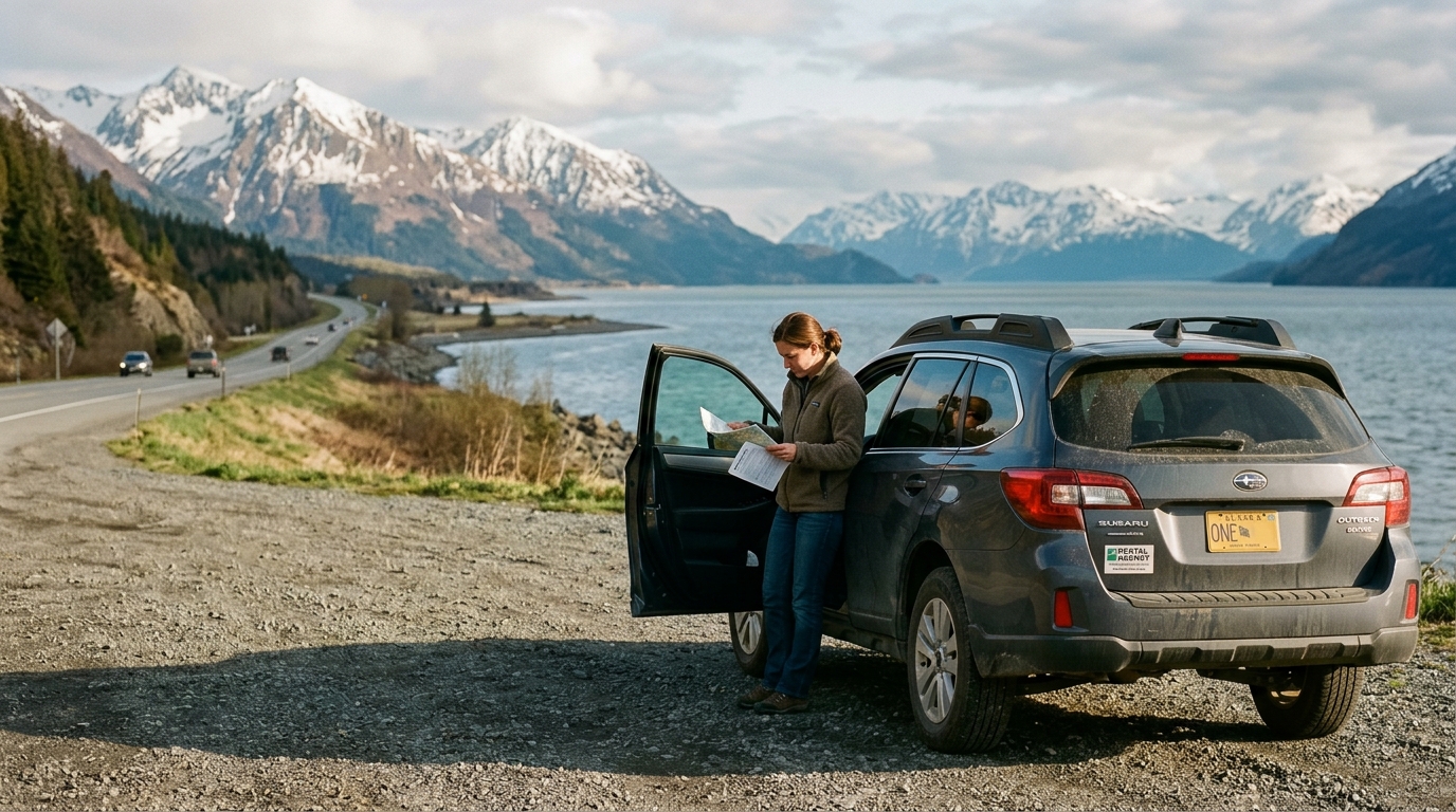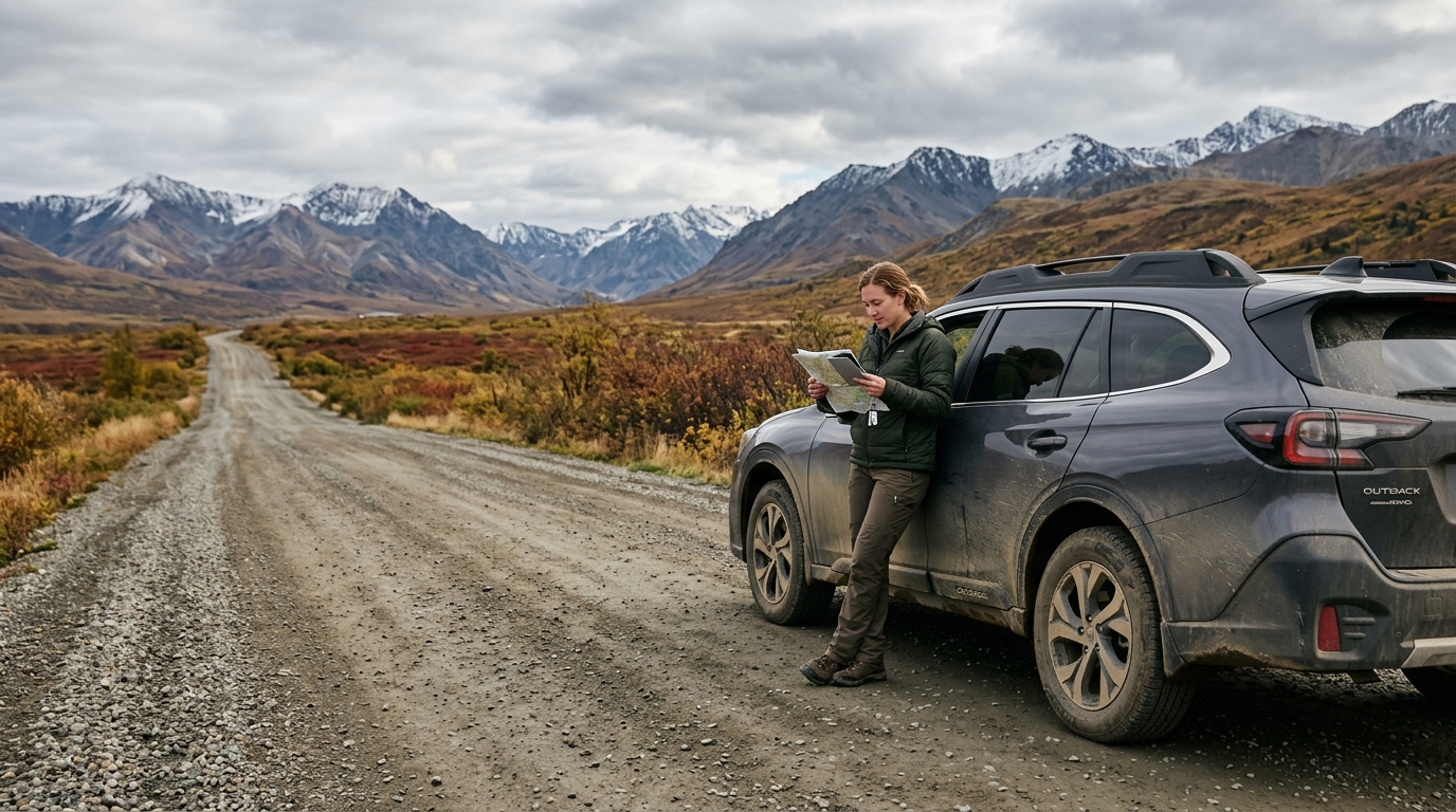

Yes, can you drive to alaska from the us without boarding a ferry or a plane? Absolutely, but every overland route requires driving through Canada. There is no domestic highway connecting Alaska directly to the lower 48 states, meaning you must cross international borders, navigate remote northern provincial highways, and plan around wide gaps between basic services.
Driving to Alaska is a classic bucket-list journey, yet many first-time road-trippers underestimate the sheer scale of the undertaking. From a starting point like Seattle, Washington, reaching the Alaska border at Alcan Border or Poker Creek requires roughly 2,300 to 2,500 driving miles. If you begin your trip in the Midwest or along the East Coast, that distance easily climbs past 3,500 to 4,500 miles one way. For couples, families, and retirees with a few weeks of vacation, the core challenge is not vehicle capability—the primary route is entirely paved—it is sequencing border logistics, fuel stops, and nightly lodging across thousands of miles of wilderness.
Can You Drive to Alaska from the US? The Short Answer
When prospective travelers ask, can you drive all the way to alaska, they often envision an off-road overland expedition over unpaved dirt tracks. That was true in the 1940s, but today the main corridor—the Alaska Highway—is paved the entire distance from Dawson Creek, British Columbia, through Yukon Territory to Delta Junction, Alaska.
To understand the journey, keep these fundamentals in mind:
- All land routes enter Canada: There is no US-only road corridor to Alaska. You will leave the contiguous United States, travel through British Columbia and Yukon (or Alberta), and clear customs when re-entering Alaska.
- The official highway distance: The historic Alaska Highway begins at Mile 0 in Dawson Creek, BC, and terminates 1,390 miles later at Delta Junction, AK. Adding the approach miles from your home state brings the total driving distance to well over 2,000 miles before you reach Fairbanks or Anchorage.
- Time commitment: Most travelers should treat the drive as a 5- to 8-day commitment each direction. Pushing faster turns the trip into an exhausting marathon with little margin for construction or mechanical delays.
- Road surface: The primary highway is paved asphalt, though seasonal frost heaves, chip-seal resurfacing, and gravel repair breaks are frequent summer realities.
The true difficulty of the route is not physical passability. The real hurdle is logistics: coordinating limited hotel rooms, managing fuel gaps that can stretch past 100 miles, and pacing your driving days so fatigue does not compromise safety.
Driving to Alaska from the Lower 48: The Three Main Routes
When evaluating driving to alaska from the lower 48, travelers generally choose between two primary driving corridors through western Canada, or opt for a combined road-and-marine route. Each route presents distinct tradeoffs in road surface, scenery, and service density.
Route 1: The Alaska Highway (BC-97 to Yukon-1 to AK-2)
This is the standard, most reliable path north. Starting from Dawson Creek, BC, the route winds through Fort St. John, Fort Nelson, Watson Lake, and Whitehorse before crossing the US border near Tok, Alaska. Because it is the primary freight lifeline for the north, it features the highest frequency of gas stations, tire repair shops, roadside diners, and motels. While frost heaves and summer road construction are common, it remains the safest, most predictable option for RVers, retirees, and families with children. Detailed route segments are mapped in our Alaska Highway guide.
Route 2: The Stewart-Cassiar Highway (BC-37)
The Stewart-Cassiar branches off Highway 16 near Kitwanga, British Columbia, and runs roughly 450 miles north to connect with the Alaska Highway just west of Watson Lake. It offers dramatic wilderness views, opportunities to view glaciers near Stewart and Hyder, and significantly lighter traffic. However, services are sparse. Fuel stops can be separated by long distances, lodging options are minimal, and sections of the road may feature narrower shoulders or temporary gravel patches. This route suits confident drivers in well-maintained vehicles who do not mind meticulous fuel tracking.
Route 3: The Alaska Marine Highway Ferry Alternative
Travelers short on driving stamina often board the Alaska Marine Highway System ferry from Bellingham, Washington, or Prince Rupert, British Columbia, docking in ports such as Haines, Skagway, or Whittier. From Haines or Skagway, you can drive directly into the Yukon and continue into mainland Alaska. This bypasses 1,000 to 1,500 miles of highway driving one way. The tradeoff is financial and logistical: vehicle fares for cars and RVs are substantial, staterooms sell out months ahead, and ferry sailing schedules can be limited.
| Route Option | Distance (Border to Border) | Road Surface | Service Density | Best Suited For |
|---|---|---|---|---|
| Alaska Highway | ~1,390 miles (Dawson Creek to Delta Junction) | Paved (periodic gravel repair breaks) | Moderate (towns every 50-150 miles) | First-timers, RVs, families, retirees |
| Stewart-Cassiar (BC-37) | ~450 miles (Kitwanga to junction) | Paved with chip-seal and narrow shoulders | Low (gaps up to 150+ miles) | Experienced road-trippers, remote campers |
| Marine Highway Ferry | Variable marine miles + short drive | Vehicle deck on ship; paved egress | Onboard amenities only while sailing | Travelers wishing to avoid one-way mileage |
Do You Go Through Canada to Get to Alaska? Border Rules You Need to Know
A frequent question from first-time visitors is: do you go through canada to get to alaska ? The answer is often yes if you travel by land. Because there is no domestic bypass route, you will interact with Canadian border officials when entering Canada, and US Customs and Border Protection when re-entering the United States at the Alaska border.
Navigating these crossings smoothly requires clear preparation regarding documentation, crossing rules, and prohibited items:
- Required Identification: Every adult and child must present a valid passport or an approved Western Hemisphere Travel Initiative document. For full details on accepted identification when re-entering the US by land, consult the US Customs and Border Protection WHTI guidance. US passport cards and Enhanced Driver's Licenses are acceptable at land ports of entry.
- Electronic Travel Authorization (eTA): US citizens driving across the land border into Canada do not need an eTA. As outlined by Immigration, Refugees and Citizenship Canada, eTAs are an entry requirement specifically for visa-exempt foreign nationals traveling to Canada by air. Lawful permanent residents of the US entering by land must carry their valid Green Card and passport.
- Firearms Regulations: Canada enforces strict prohibitions on handguns, defensive firearms, and standard semi-automatic rifles. Bringing a firearm into Canada requires strict advance paperwork, an authorized declaration, and payment of a fee at the border; unauthorized firearms can lead to seizure and arrest. Most travelers choose to ship firearms via a licensed dealer to an FFL in Alaska rather than transport them overland.
- Bear Spray and Defense Tools: Bear spray must be clearly labeled for animal deterrence. Personal defense sprays intended for use against humans (such as pepper spray or mace) are illegal to bring into Canada. Declare your bear spray openly to the border officer.
- Cannabis Is Prohibited at Crossings: While cannabis is legally accessible within Canada and within the State of Alaska, transporting cannabis across international boundaries remains illegal under both Canadian and US federal law. Do not pack cannabis products, oils, or paraphernalia in your vehicle.
- Pet Regulations: If you are traveling with a dog or cat, carry a signed, valid rabies vaccination certificate from your veterinarian. Review recent CDC updates regarding dog importations into the United States before returning from Yukon to Alaska.
Border wait times at major border crossings such as Coutts/Sweetgrass or Abbotsford can peak during summer weekends. Build a 30- to 60-minute buffer into your driving itinerary for crossing formalities.
How Long Does the Drive to Alaska Take?
Calculating driving times to Alaska using standard mapping tools often produces unrealistic schedules. Digital mapping apps assume continuous driving at highway speed limits, failing to account for frost-heave slowdowns, single-lane pilot-car delays in construction corridors, fuel lines, and border queues.
A realistic target pace on the Alaska Highway is 300 to 400 miles per day. On the more remote Stewart-Cassiar Highway, 250 to 300 miles represents a safer daily limit.
- When driving from Washington State to Alaska, most travelers take 5 to 7 days, averaging 6 to 8 hours behind the wheel each day. Pushing this route in 5 days is physically possible with multiple drivers taking shifts, but it leaves zero margin for delays and turns the journey into an exhausting slog.
- From Salt Lake City or Denver to Anchorage: Budget 8 to 10 days of sustained driving.
- From the Midwest (e.g., Minneapolis or Chicago) to Fairbanks: Plan on 8 to 11 days.
Northern summers provide extensive daylight—up to 19 to 20 hours near the summer solstice in June. While this provides excellent visibility, it creates a psychological trap: drivers often push late into the evening because the sun has not set. Extended driving hours sharply increase fatigue, precisely when moose, deer, and bison step onto highway shoulders to feed during twilight hours.
If your entire vacation is limited to 10 to 14 days, driving both directions from the lower 48 is not sensible. You would spend nearly your entire trip looking through a windshield outside Alaska, with only a weekend left to explore the state itself. In that scenario, most travelers fly directly into Anchorage or Fairbanks, rent a car, and explore the interior and coastal regions on a dedicated loop.
What It Actually Costs to Drive to Alaska
Driving to Alaska is rarely cheaper than flying and booking local transport; instead, it is an investment in the overland experience. Remote geography directly influences the cost of fuel, lodging, and vehicle maintenance along the northern highway corridors.
Primary road-trip expenses to account for include:
- Fuel: Over a 5,000-mile round trip from the Pacific Northwest, a vehicle averaging 18 mpg will consume substantial fuel. Fuel prices in northern British Columbia and the Yukon are sold by the liter and carry remote transportation premiums. Check our dedicated fuel planning guide for station locations and gap planning.
- Corridor Lodging: Roadside motels in places like Fort Nelson, Watson Lake, and Tok operate on compressed summer seasons. Basic, clean rooms fill rapidly, and high seasonal demand drives up nightly rates across remote corridors. In key hub towns like Whitehorse, summer accommodations often sell out months in advance.
- Campground Fees: Travelers with campervans or travel trailers can reduce lodging costs by staying in BC provincial parks or Yukon government campgrounds, which offer lower nightly rates. However, sites near popular stops fill quickly without advance reservations.
- Vehicle Wear and Windshield Damage: Loose gravel in construction zones means flying stones are common. Budget for a windshield chip repair or full glass replacement when you return home, alongside an oil change before and after the trek.
For detailed modeling of how accommodation, dining, and fuel costs aggregate across a full trip, explore our Alaska road trip cost calculator to estimate your overall budget.
When to Drive to Alaska: Season, Closures, and 2026 Conditions
The recommended driving window for travelers heading to Alaska runs from late May through mid-September. Outside this window, services close, and mountain passes experience severe winter conditions.
Seasonal patterns across the driving months differ considerably:
- Mid-May to early June: Lighter crowds, fewer insects, and emerging wildlife along road shoulders. However, higher-elevation side roads may still hold snow, and some seasonal lodges remain closed until June 1. Mountain passes in northern BC require winter preparedness, as highlighted in seasonal driving alerts from the British Columbia Ministry of Transportation.
- July to early August: Warmest temperatures, fully open services, and maximum daylight. This is also peak season for road construction, pilot-car delays, and heavy RV traffic. Lodging in small hub towns must be reserved well ahead of time.
- Late August to mid-September: Spectacular autumn foliage in the Yukon and Alaska interior, accompanied by terminating mosquito seasons. Freezing overnight temperatures become regular by early September, and mountain passes can see early dustings of snow. Seasonal roadside businesses begin closing their doors by the second week of September.
Additionally, travelers reaching Alaska in 2026 must account for regional park access limitations. West of Fairbanks, the National Park Service Denali Park Road project restricts visitor transit buses past mile 43 due to ongoing construction at the Pretty Rocks landslide. Visitors planning a Denali visit must build their daily itinerary around the reduced road mileage rather than older travel advice referencing the full 92-mile historical corridor.
Vehicle Choice: What Actually Survives the Drive
You do not need a customized off-road 4x4 rig to drive the Alaska Highway. Any reliable, modern car, crossover, or light truck can complete the journey if properly prepared.
Vehicle selection comes down to clearance, range, and operational condition:
- Tires Are the Number One Failure Point: High-speed driving over chip-seal and sharp gravel shoulders tears worn tires quickly. Start your drive with healthy tread depth. Ensure your spare tire is a full-size wheel inflated to correct pressure, accompanied by a functioning vehicle jack and a solid wooden block to support the jack on soft road shoulders.
- Ground Clearance: While the Alaska Highway is paved, frost heaves can create sharp dips and unexpected asphalt ridges. Modest ground clearance helps prevent undercarriage scrapes when passing through active construction zones.
- Rental Car Restrictions: Driving a rental vehicle from the lower 48 all the way to Alaska is heavily restricted by national rental agencies. Very few permit cross-border one-way drop-offs, and those that do impose significant drop fees. Review rental rules and alternatives in our breakdown of RV vs. car choices for Alaska.
The Planning Part Nobody Warns You About
Reaching the Alaska border is only the halfway mark. Once you cross into the state, the real logistical puzzle begins. Alaska's road system is surprisingly compact—only a handful of primary highways connect the major regions—yet distances between destinations remain vast.
The most common DIY planning mistakes do not happen on the highway through Canada; they happen once travelers arrive in Alaska:
- Backtracking: Poorly ordered stops between Fairbanks, the Kenai Peninsula, and Valdez can add 800 unnecessary miles of driving over two weeks.
- Missed Excursions: Popular activities—such as Kenai Fjords glacier cruises or guided river rafting—book up weeks in advance during July. Arriving in Seward or Talkeetna hoping to secure a walk-up ticket often leads to disappointment.
- The Lodging Crunch: Gateway towns like Tok, Cooper Landing, and Denali have limited hotel capacity. When one town sells out, travelers are forced into late-night, multi-hour detours to find an open bed.
This is where structured planning prevents costly missteps. Every itinerary from Alaska Road Trip is hand-built by a named founder who has driven these routes on eight Alaska trips between 2015 and 2024, across four seasons. Alaska Road Trip hand-picks lodging and gives you direct booking links, but you book it yourself — it does not make reservations on your behalf, so you keep full control and flexibility. Alaska Road Trip recommends activities and tours with timing and booking links; you reserve them yourself. Furthermore, Alaska Road Trip does not book flights or rental cars; you arrange those independently.
Itineraries reflect current-season research at the time they're built. The trip dashboard can check available park, road, weather, and aurora data, but Alaska Road Trip does not provide real-time booking availability, live tracking, or guaranteed live condition monitoring. Crucially for travelers managing strict budgets, Alaska Road Trip is a one-time flat fee, not a subscription — there are no recurring charges.
Frequently Asked Questions About Driving to Alaska
Can you drive to alaska from united states?
Yes, you can drive to Alaska from the contiguous United States, but all overland driving routes pass through Canada. The primary corridor begins in Dawson Creek, British Columbia, along the paved Alaska Highway (BC-97 / Yukon-1 / AK-2) and enters eastern Alaska near Tok. The drive covers 2,300 to 2,500 miles from northern states like Washington and requires valid travel documents to cross the international border.
Can you drive to alaska from the us?
Yes. Drivers leaving the lower 48 states can take either the Alaska Highway or the Stewart-Cassiar Highway through western Canada to reach Alaska. The recommended driving window for travelers heading to Alaska runs from late May through mid-September.
Can you drive all the way to alaska?
Yes, you can drive all the way to Alaska without taking a ferry or loading your vehicle onto a train. The highway system connects seamlessly through Canada directly into Alaska's interior highway network, allowing you to drive continuously to destinations like Fairbanks, Anchorage, Valdez, and the Kenai Peninsula.
Do you go through canada to get to alaska?
Yes, every overland vehicle route to Alaska requires traveling through Canada. You will cross the Canada-US border when leaving the lower 48, traverse British Columbia and the Yukon Territory (or Alberta), and clear US Customs and Border Protection upon entering Alaska. A valid passport or WHTI-compliant travel ID is mandatory for all vehicle occupants.
Do i have to drive through canada to get to alaska?
If you travel strictly by land in your personal vehicle, yes—you must drive through Canada. The only alternative that keeps your vehicle with you without driving through Canadian highways is boarding the Alaska Marine Highway System ferry from Bellingham, Washington, which transports vehicles and passengers directly to coastal ports in Southeast and Southcentral Alaska.
Next Step: Decide Whether You're Driving It or Planning It
Driving to Alaska is an extraordinary adventure, provided you respect the distances, plan around remote service gaps, and establish realistic driving targets. Whether you choose the historical Alaska Highway or the rugged Stewart-Cassiar corridor, arriving in Alaska by road gives you an unmatched appreciation for the northern wilderness.
Now comes the pivotal planning decision: do you want to spend your evenings untangling cross-border paperwork, calculating remote fuel gaps, and coordinating peak-season Alaska lodging on your own, or would you prefer a custom plan built specifically for your vehicle, travel party, and pace?
Explore custom, hand-built itinerary options through the Alaska Road Trip planning services. Pricing is structured as a clear, one-time flat fee: Lite at $97 (1–5 days), Standard at $197 (up to 14 days), Plus at $297 (15+ days), and Concierge at $497, which adds a 30-minute live call with the founder. Your custom plan is delivered as a printable, offline-ready PDF within 3 to 5 business days, complete with 1 to 2 revision rounds and backed by a published 14-day money-back guarantee with a full refund, no questions asked.
If you prefer to continue researching and building your own route, start by reviewing our free, comprehensive breakdown in the Alaska Highway travel guide to map out your stops milestone by milestone.

See a real Alaska itinerary before you spend a dollar
A real 3-day plan with driving times, lodging picks, and a daylight chart — free, in your inbox.
One email. No spam. Unsubscribe anytime. Or view it right now — no email needed ↗
Ready for the full plan? Get your custom itinerary — from $197 · 5-day delivery →