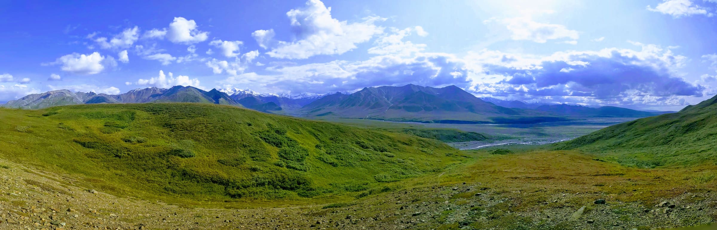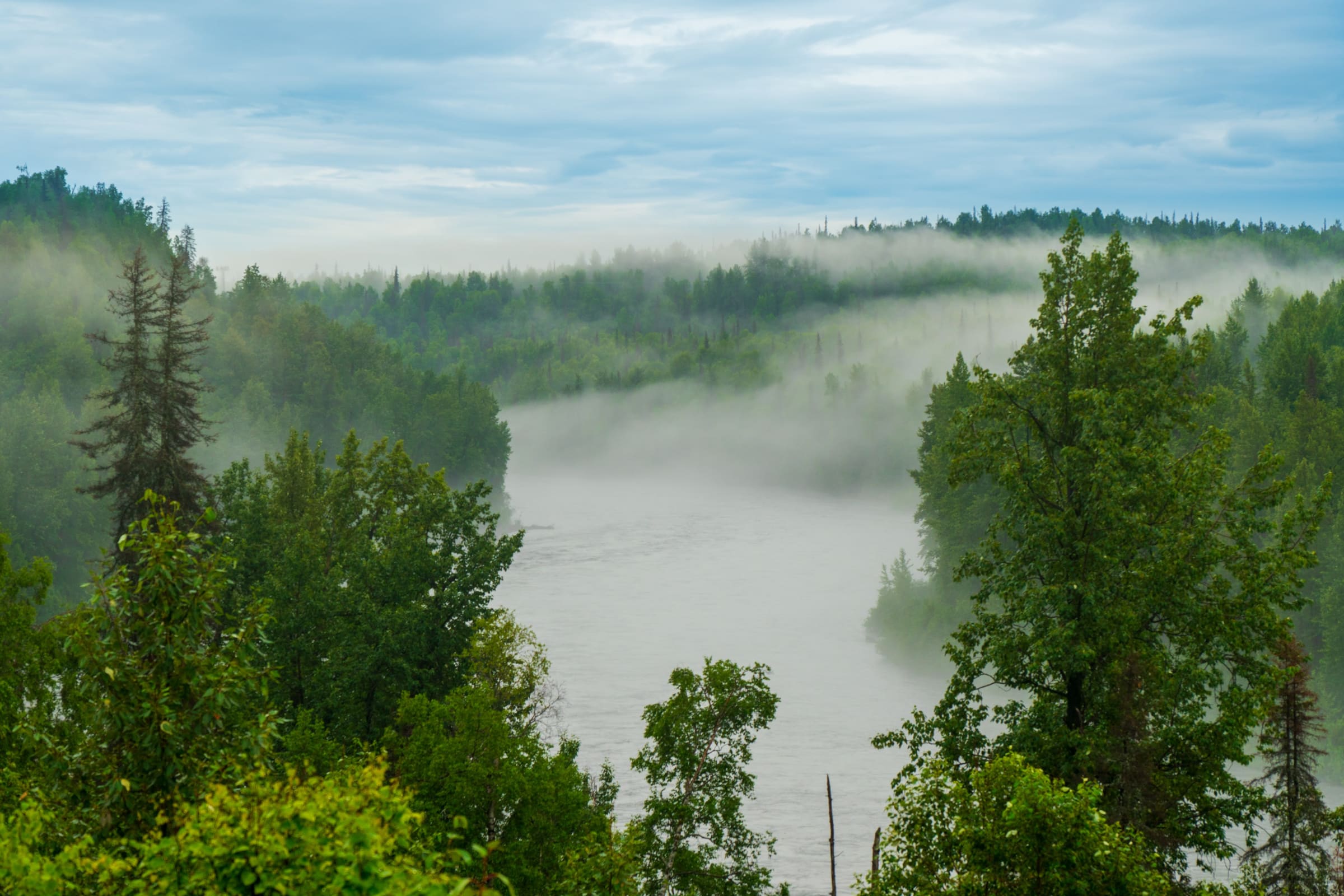
Introduction to Navigating Alaska's Rugged Infrastructure
When planning an epic journey through the Last Frontier, understanding alaska rv height restrictions is critical to ensuring a safe, stress-free adventure. Alaska is famous for its wide-open spaces, towering mountain ranges, and untouched wilderness. However, the infrastructure that connects these breathtaking landscapes is often rugged, historic, and occasionally restrictive. If you are driving a motorhome, fifth wheel, or camper van, you cannot assume that every road is built to modern interstate standards.
When your camper van or RV tops 10 feet, standard GPS routes can lead you straight into low bridges, tight rock overhangs, or restricted single-lane tunnels. Unlike the contiguous United States, where interstate highways maintain a standard vertical clearance of 14 feet to 16 feet, Alaska's highway system features older bridges, rural routes, and unique geographical bottlenecks that demand careful planning. This comprehensive guide breaks down everything you need to know about navigating these height restrictions safely, protecting your rental vehicle, and planning a seamless itinerary.
Knowing Your Rig's True Height: The First Line of Defense
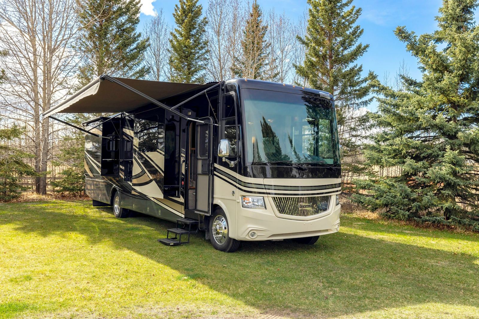
Before you turn the key in the ignition, you must know the exact vertical clearance of your vehicle. One of the most common mistakes travelers make is relying on the manufacturer's nominal height specifications. If your rental agreement or owner's manual states that your Class C motorhome is 11 feet tall, that number typically refers to the bare roofline. It rarely accounts for aftermarket additions or standard rooftop accessories.
To avoid violating alaska rv height restrictions, you must measure your vehicle manually. Park on a flat, level surface and use a tape measure to determine the distance from the ground to the absolute highest point of your rig. Be sure to include:
- Rooftop air conditioning units (which can add 12 to 18 inches)
- Satellite dishes and television antennas
- Solar panels and roof racks
- Rooftop cargo boxes or kayaks
- Ladder extensions and vents
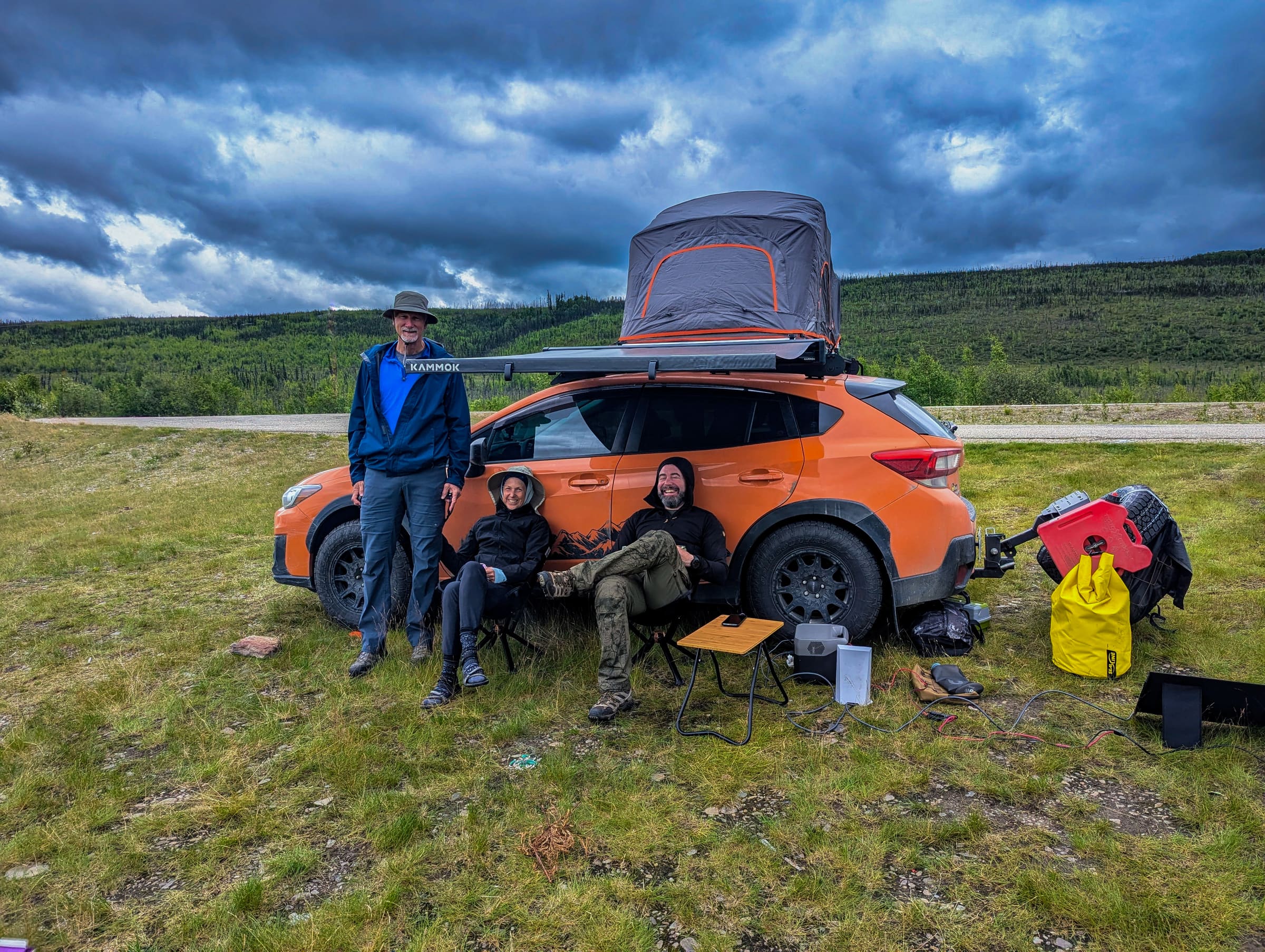
Once you have this measurement, write it on a sticky note and place it on your dashboard where it is constantly visible to the driver. This simple step prevents split-second panic when approaching an unexpected low-clearance warning sign. If you are still deciding which vehicle is best suited for your comfort level and driving experience, consider reading the comprehensive RV vs. truck camper vs. SUV comparison on Alaska Road Trip to weigh your options.
The Ultimate Obstacle: Anton Anderson Memorial Tunnel (Whittier Tunnel)
The most famous and restrictive height bottleneck in Alaska is the Anton Anderson Memorial Tunnel, commonly known as the Whittier Tunnel. As the longest highway-rail tunnel in North America, stretching 2.5 miles through Maynard Mountain, it serves as the sole land connection between the Seward Highway and the coastal community of Whittier.
This tunnel is a marvel of engineering, but it presents unique challenges for large vehicles because it is a single-lane corridor shared by automobiles, passenger buses, massive commercial semi-trucks, and active trains. Because of this shared usage, the tunnel operates on a strict, alternating schedule and enforces rigid physical dimension limits.
According to the Alaska Department of Transportation & Public Facilities, the maximum allowable vehicle dimensions for the Whittier Tunnel are:
While a standard 15-foot height limit accommodates almost all commercial RVs, the narrow 10-foot width limit can be highly intimidating for drivers of wide Class A motorhomes or those towing wide travel trailers. Side mirrors, slide-out awnings, and dual-rear wheels must fit comfortably within this envelope. Additionally, because the tunnel floor contains active railroad tracks, the surface can be bumpy and uneven, causing tall rigs to sway. Drivers must maintain a steady speed and keep their vehicles perfectly centered between the yellow lines to avoid scraping the tunnel walls or damaging overhead ventilation equipment.
Before heading to Whittier, always check the current toll rates and the seasonal operating schedule, as the tunnel alternates directions every 30 minutes. If you are incorporating this route into your journey, the comprehensive Seward Highway guide on Alaska Road Trip offers excellent context on how to time your arrival at the staging area without disrupting your travel schedule.
Low Clearance Hazards on Alaska's Major Highways
The Seward Highway and Kenai Peninsula
The Seward Highway connects Anchorage to the southern port towns of Seward and Whittier. While the highway is generally well-maintained and designed to accommodate commercial traffic, certain sections feature tight rock overhangs and narrow bridges. In particular, the turnoffs toward historic mining areas or secondary forest service roads can feature low-hanging tree branches that can easily tear an RV's rubber roof membrane or rip off an air conditioning shroud. Drivers should remain centered in their lane when passing rock faces and watch for overhanging trees on scenic pullouts.
The Alaska Highway (AlCan)
If you are driving your own rig from the contiguous United States through Canada to Alaska, you will travel the historic Alaska Highway. While major reconstruction efforts over the decades have eliminated most severe bottlenecks, several older steel-truss bridges remain. These historic bridges often feature arched overhead supports that limit clearance near the shoulders. When crossing these bridges, it is common practice for large RVs to move toward the center of the road (when oncoming traffic permits) to ensure the top corners of the rig do not strike the steel structure. While standard federal highway guidelines outline typical clearances, rural northern routes frequently feature grandfathered structures that do not meet modern interstate heights. For official state-specific vehicle size limits, the Alaska Department of Transportation & Public Facilities Division of Measurement Standards provides detailed legal dimensions for vehicles operating on state highways.
Hatcher Pass Road
based on the Alaska Division of Parks and Outdoor Recreation, Hatcher Pass is a breathtaking mountain pass that offers stunning alpine views and access to the historic Independence Mine. However, this route is highly restricted. The western portion of Hatcher Pass Road is a narrow, winding, gravel road with steep grades, tight switchbacks, and low-hanging rock ledges. It is highly discouraged—and in some sections, physically impossible—to navigate Hatcher Pass in a standard Class A or Class C motorhome. Height and width restrictions here are dictated by the natural topography rather than man-made bridges.
The Impact of Frost Heaves on Effective Height
An often-overlooked factor in northern driving is the phenomenon of frost heaves. Severe winter freezing and thawing cycles damage the subgrade of Alaskan roads, creating sudden, roller-coaster-like dips and swells in the asphalt. When a tall, heavy RV hits a frost heave at highway speeds, the suspension compresses and rebounds dramatically. This vertical bouncing motion temporarily increases the effective height of your vehicle at the peak of the bounce. If you are passing under a bridge or a low-hanging canopy of trees with only a few inches of clearance, a sudden frost heave can cause your roof to strike the obstacle. It is highly recommended to reduce your speed when road signs warn of upcoming frost heaves to maintain vehicle control.
Navigation Tools and Commercial Routing Apps
One of the most dangerous mistakes an RV driver can make is relying solely on standard consumer navigation apps like Google Maps, Apple Maps, or Waze. These platforms are designed for passenger cars and do not account for vehicle weight, length, or height. If a highway is closed or congested, these apps may automatically reroute you onto narrow residential streets, historic parkways, or secondary gravel roads with low-clearance bridges.
To navigate alaska rv height restrictions safely, you should invest in specialized RV navigation tools. Consider the following options:
- RV-Specific GPS Units: Devices from manufacturers like Garmin (such as the Garmin RV series) allow you to input your vehicle's exact height, width, length, and weight. The device then calculates routes that completely bypass low bridges, weight-restricted roads, and tight turns.
- Specialized Mobile Apps: Apps like RV LIFE GPS or CoPilot GPS RV offer offline mapping capabilities—which are essential in Alaska, where cellular service is frequently nonexistent—and route your vehicle based on your custom dimensions.
- The Milepost: Often referred to as the "bible of North Country travel," this annual publication provides a mile-by-mile description of all Alaskan highways, including detailed warnings about bridge clearances, road conditions, and steep grades.
Experienced travelers recommend cross-referencing digital GPS routes with physical road signs to ensure accuracy. If you encounter a sign indicating a low clearance ahead, do not assume your GPS knows best. Trust the physical signage and find a safe place to turn around.
What Your Rental Company Won't Tell You: Insurance and Overhead Damage
If you are renting a motorhome in Anchorage or Fairbanks, it is vital to read the fine print of your rental agreement. Many travelers assume that purchasing the optional Collision Damage Waiver (CDW) or premium insurance package protects them from all financial liability. However, this is rarely the case when it comes to overhead damage.
In almost all standard rental contracts, overhead damage—defined as any damage occurring above the windshield line—is explicitly excluded from insurance coverage. This means that if you scrape a low-hanging tree branch, strike a bridge, or damage the roof while navigating a tight drive-thru, you are fully responsible for the repair costs out of pocket. Because RV roof repairs often require replacing the entire fiberglass or rubber membrane, even minor scrapes can lead to substantial repair bills.
Understanding what your Alaska RV rental company does not plan for you is essential to protecting your budget. Rental companies provide the vehicle, but they do not plan your daily routes, verify bridge clearances, or monitor active road construction. If you encounter an unexpected detour due to a landslide, bridge maintenance, or wildfire, you must have a plan in place. Knowing how to handle unexpected road closures and having pre-planned alternative routes will prevent you from being forced onto restricted roads under pressure.
Frequently Asked Questions
What is the maximum standard height for an RV in Alaska?
Most rental RVs in Alaska can vary in height. While the legal height limit on major state highways is 15 feet, many secondary roads, historic bridges, and private campgrounds feature clearances as low as 10 or 11 feet. It is safest to measure your specific vehicle rather than relying on general standards.
Can I drive a Class A motorhome through the Whittier Tunnel?
Yes, Class A motorhomes can physically fit through the Whittier Tunnel, as the maximum height limit is 15 feet and the width limit is 10 feet. However, because the tunnel is narrow and contains railroad tracks, driving a large Class A rig can be highly stressful. Ensure your side mirrors are properly adjusted and that you are comfortable driving in tight spaces before attempting this route.
Are there low bridges on the Parks Highway?
The Parks Highway (which connects Anchorage to Fairbanks and passes Denali National Park) is a primary commercial shipping corridor. As such, all overpasses on the main highway meet standard interstate clearance requirements. However, if you exit the highway to access local campgrounds, scenic viewpoints, or historic towns, you may encounter lower clearances on secondary bridges or private properties.
What happens if I damage the roof of my rental RV?
Because overhead damage is almost universally excluded from rental insurance policies, you will likely be held personally liable for the full cost of repairs. This includes not only the physical repair costs but also "loss of use" fees charged by the rental company for the days the vehicle is out of service and cannot be rented to other travelers.
How do I find out about active road construction and clearance changes in real time?
The best resource for real-time road conditions, construction delays, and temporary clearance restrictions is the Alaska 511 Travel Info system. Travelers can access this information online or by downloading the official mobile app before their trip.
Let Alaska Road Trip Plan Your Perfect, Worry-Free Itinerary
Navigating the logistics of an Alaskan road trip—from tracking bridge clearances and tunnel schedules to securing the best campsites and rental vehicles—can quickly become overwhelming. At Alaska Road Trip, we specialize in crafting custom, turn-by-turn itineraries designed specifically for your vehicle type, travel style, and comfort level. We take the guesswork out of your journey, ensuring you avoid stressful bottlenecks, low-clearance hazards, and costly routing mistakes. Our detailed itineraries handle the planning details so you can focus on the breathtaking scenery and unforgettable adventures. Contact us today to start planning your ultimate, worry-free Alaskan getaway.
See a real Alaska itinerary before you spend a dollar
A real 3-day plan with driving times, lodging picks, and a daylight chart — free, in your inbox.
One email. No spam. Unsubscribe anytime. Or view it right now — no email needed ↗
Ready for the full plan? Get your custom itinerary — $197 · 5-day delivery →