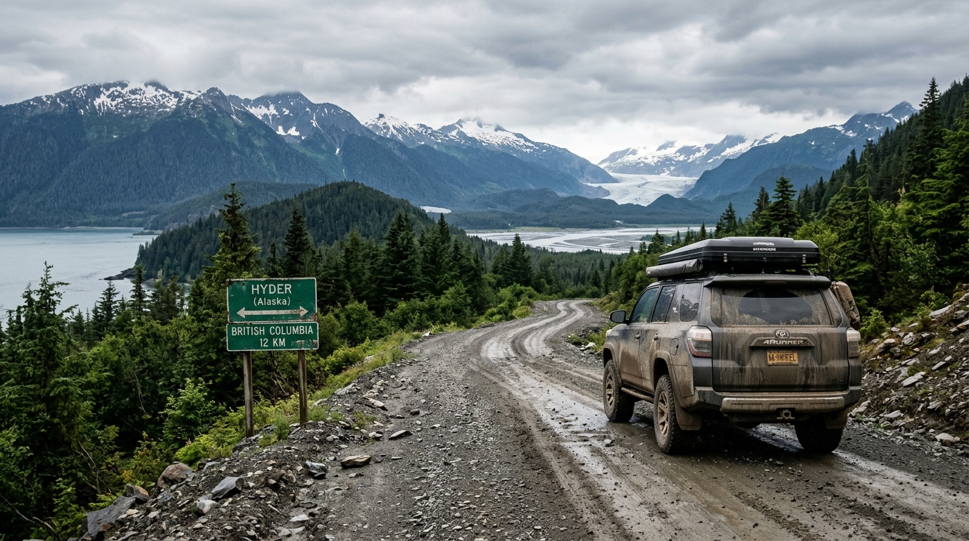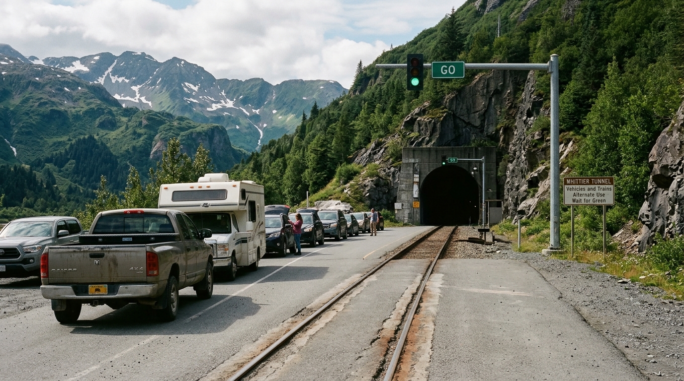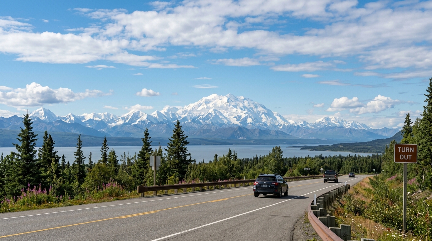

Yes, you can drive to Alaska from California. The highway is paved all the way. It is a long journey. Thousands of drivers make the trip every summer in ordinary sedans, crossovers, pickup trucks, and camper vans. Depending on whether you depart from San Diego, Los Angeles, or the San Francisco Bay Area, the route covers between 3,000 and 3,600 miles one way to reach Anchorage or Fairbanks.
Distances deceive drivers. This is not an interstate sprint. Once you cross into Canada, service spacing, seasonal construction, and wilderness terrain dictate your daily pace. This guide details the practical driving route, border crossing requirements for 2026, fuel stops, pacing strategies, and real-world costs for driving from the West Coast to Alaska.
The short answer: yes, and what it costs in driving days
You can legally and physically drive from any city in California to the Alaska highway network. All primary connector routes through Washington State, British Columbia, Yukon, and Alaska are paved. You do not need a four-wheel-drive vehicle or specialized overland gear during the summer travel season.
The drive breaks down into three distinct segments:
- Driving from California through Oregon and Washington to the Canadian border takes two to three days.
- Traveling from the British Columbia border through Yukon to the Alaska border takes four to six days.
- Driving from the international border at Alcan Border to your first major Alaska hub requires one to two days.
Plan for long days. A steady driver can complete the trip one way in seven to ten days by spending eight to ten hours behind the wheel each day. If you want to explore stops along the route, budget three to four weeks for the round trip. Driving 300 to 400 miles per day is the realistic ceiling north of Prince George. Road construction zones, frost heaves, and wildlife encounters reduce average highway speeds to 45 or 50 miles per hour over long stretches through British Columbia and the Yukon.
Because of this time investment, many travelers choose to drive one direction and ship their vehicle back, or order an itinerary through the custom trip planning workflow to optimize their time once they arrive in the state.
The route: which highways get you from California to Alaska
Two primary paths lead north from California through the Pacific Northwest before converging into Canada's northern highway network.
The approach to the Canadian border
Most travelers take Interstate 5 north through Sacramento, Portland, and Seattle directly to the Peace Arch or Pacific Highway crossing at Blaine, Washington. This route provides reliable freeway travel, predictable lodging, and easy access to mechanical services.
Travelers starting from Eastern California or Nevada often take an inland approach. That path routes via Interstate 80 or Highway 395 up to Interstate 84 through Oregon and Idaho, then connects to Highway 97 north through central Washington to cross into British Columbia at Osoyoos. The inland route avoids Seattle metro traffic, though it requires more two-lane highway driving.
The spine: British Columbia to the Alaska Highway
Follow BC Highway 1 through the Fraser Canyon to Cache Creek after crossing the border near Vancouver. From there, take BC Highway 97 north through Williams Lake and Quesnel to Prince George. Prince George is the final major regional service center in central British Columbia.
From Prince George, follow BC Highway 97 north across the Pine Pass to Dawson Creek, British Columbia. Dawson Creek is Mile 0 of the historic Alaska Highway. From Mile 0, the highway stretches 1,390 miles northwest through Fort St. John, Fort Nelson, Watson Lake, and Whitehorse, terminating at Delta Junction, Alaska.
The scenic alternative: the Stewart-Cassiar Highway
North of Prince George, you can choose an alternate western route. Turn west at Prince George onto BC Highway 16 toward Kitwanga, then head due north on BC Highway 37, known as the Stewart-Cassiar Highway. The Cassiar runs approximately 450 miles through remote, mountainous terrain before joining the Alaska Highway just west of Watson Lake, Yukon.
The Cassiar Highway is roughly 100 miles shorter than following the Alaska Highway through Fort Nelson. Fuel stations, lodging, and repair services are sparser. Wildlife sightings are common along the Cassiar road shoulders.
Entering Alaska
The primary overland entry point is at Alcan Border on the Alaska Highway, located between Beaver Creek, Yukon, and Tok, Alaska. Tok is the junction for the state highway network. From Tok, you can drive southwest on the Glenn Highway toward Anchorage or northwest along the Richardson and Alaska Highways toward Fairbanks.
You can also divert south. Travelers seeking an alternate route can divert down the Klondike Highway from Whitehorse to Skagway, or down the Haines Highway to Haines, connecting with the Alaska Marine Highway System ferry network. Taking the state ferry from Bellingham, Washington directly to Southeast Alaska allows travelers to bypass the long Canadian highway drive entirely, though ferry reservations must be booked months in advance.
Driving from the West Coast to Alaska: day-by-day realities
To understand the rhythm of driving from the West Coast to Alaska, consider a standard pacing schedule departing from Sacramento:
- Day 1 covers Sacramento to Eugene across 470 miles, following Interstate 5 through the Siskiyou Pass where services are regular.
- Day 2 spans 380 miles from Eugene to Abbotsford, crossing through Portland and Seattle before clearing customs into British Columbia.
- Day 3 runs 430 miles from Abbotsford to Prince George, following the Fraser Canyon and climbing into the interior plateau on BC Highway 97.
- Day 4 covers 280 miles between Prince George and Fort St. John, passing the Mile 0 monument at Dawson Creek.
- Day 5 spans 235 miles from Fort St. John to Fort Nelson as subarctic foothills begin and fuel stations space out.
- Day 6 covers 320 miles between Fort Nelson and Watson Lake, crossing the Northern Rockies past Stone Mountain and Liard River Hot Springs.
- Day 7 runs 275 miles from Watson Lake to Whitehorse, passing the Sign Post Forest into Yukon's capital city.
- Day 8 covers 390 miles between Whitehorse and Tok, skirting Kluane Lake and clearing border entry back into the United States.
- Day 9 finishes the journey with 200 to 325 miles from Tok to either Anchorage or Fairbanks.
Fuel planning requires discipline. Several remote stretches on the Alaska Highway run over 100 miles between working fuel pumps. Many rural stations close by 7:00 PM. Fill up often. Never pass an open fuel station once your tank drops below half. For comprehensive tank management strategies, review the dedicated guide to fuel planning in Alaska.
Wildlife poses real risk. Moose, wood bison, and caribou feed along the highway shoulders, particularly near Liard River and Muncho Lake. Striking an animal will total a passenger vehicle. Avoid driving at dawn, dusk, or night when animal visibility drops. Cellular coverage vanishes for hours across northern British Columbia and eastern Yukon. Download offline base maps to your phone and keep a physical paper road atlas in your vehicle.
Border crossings and paperwork for 2026
Driving to Alaska requires crossing an international border twice: entering Canada from Washington or Idaho, and re-entering the United States when you cross from Yukon into Alaska. Returning home repeats the process.
The border rules are strict. Every traveler in your car must carry a valid U.S. passport book. While Enhanced Driver's Licenses (EDLs) issued by Washington, Minnesota, or New York are legally accepted at land border crossings, a standard U.S. passport remains the universal document for international transit.
Entry can be denied. The Canada Border Services Agency enforces strict admissibility rules at all ports of entry. U.S. citizens with criminal records, including past convictions for driving under the influence (DUI/DWI), can be deemed criminally inadmissible to Canada. Resolving admissibility requires applying for individual rehabilitation or a Temporary Resident Permit well in advance of travel.
Border regulations regarding goods require careful preparation:
- Handguns and assault-style firearms are prohibited or restricted in Canada. Non-restricted rifles and shotguns require an advance Canadian declaration form and fee. Many travelers ship firearms between federal firearms licensees in California and Alaska to avoid Canadian transit rules entirely.
- Transporting cannabis across the border remains illegal in both directions, regardless of state statutes in California or Alaska, or federal legislation in Canada.
- Fresh fruit, vegetables, and certain meats face agricultural restrictions. Travelers should consume or discard fresh items prior to the border checkpoint.
- Dogs and cats three months of age or older require a valid rabies vaccination certificate signed by a licensed veterinarian.
When re-entering the United States at Alcan Border or Skagway, U.S. Customs and Border Protection officers inspect your vehicle. Review the official guidelines published by U.S. Customs and Border Protection regarding personal declarations and duty exemptions before arrival. Lines at high-volume border stations such as Blaine, Washington can take 30 to 60 minutes during peak summer months.
When to go: the season that works
The practical driving window for a road trip from California to Alaska runs from mid-May through mid-September. Winter arrives early. Outside this summer window, sub-zero temperatures, black ice, and shuttered roadside businesses turn the drive into a specialized winter expedition.
June and July provide maximum daylight, with up to 20 hours of functional light per day in northern British Columbia and the Yukon. Wildflowers bloom, and seasonal visitor centers, gas stations, and campgrounds operate at full capacity. June and July also bring the highest volume of RV traffic, peak lodging prices, and aggressive mosquito swarms in swampy lowland areas.
August and early September offer distinct advantages. Mosquito numbers drop, roadside fireweed turns magenta, and subarctic tundra displays vivid fall colors. You also have a chance to spot early aurora borealis activity as dark night skies return in late August. Snow can fall in August at high mountain passes along the Alaska Highway. Consult the analysis on the best time for an Alaska road trip to evaluate specific month-by-month tradeoffs.
Expect road construction delays. The Alaska Department of Transportation & Public Facilities and Canadian provincial ministries repair roadbeds damaged by winter frost heaves every summer. Expect to encounter unpaved gravel detour sections, pilot cars, and travel delays of 20 to 45 minutes throughout the corridor.
What the drive costs beyond fuel
Travelers planning an overland trip often calculate their budget solely on fuel, underestimating the peripheral costs of high-latitude transit.
Fuel is a major expense. At 3,200 miles one way, a vehicle averaging 20 miles per gallon consumes roughly 160 gallons of gasoline. In Canada, fuel is sold by the litre, and prices in remote Yukon and northern British Columbia communities run higher than in metropolitan areas. Fuel expenses add up quickly on remote stretches where retailers pass along northern freight surcharges.
Rooms fill fast. Motel accommodations along the corridor require early budgeting. Remote highway motels have limited room inventories. Modest roadside rooms in towns like Fort Nelson, Watson Lake, and Tok fill rapidly during peak summer weeks. Across multiple days of driving, motel stays represent a major cost before reaching Alaska.
Vehicle prep is essential. Ensure your tires have substantial tread, and carry a full-sized spare tire, a 12-volt air compressor, and a plug kit. Flying gravel from passing transport trucks commonly chips windshields and headlights along the highway. Confirm with your auto insurance carrier that your personal liability and collision policies extend coverage into Canada, and request a Canadian Non-Resident Inter-Provincial Motor Vehicle Liability Insurance Card.
One-way rentals are difficult. Most major rental agencies prohibit driving their vehicles across the international border into Canada, or restrict travel on unpaved connector roads. Rental firms that permit one-way interstate travel from California to Alaska assess substantial drop-off penalties that can easily eclipse the base vehicle rate.
Where first-timers lose time (and how to avoid it)
First-time drivers along the northern corridor regularly encounter predictable itinerary bottlenecks:
- Drivers used to highway cruising often schedule excessive mileage through northern British Columbia. Construction zones, transport trucks, and rough surfaces reduce real-world travel speeds to 45 or 50 miles per hour, making 300 to 400 miles the realistic daily ceiling.
- Communities such as Fort Nelson, Watson Lake, and Tok contain limited motel rooms. Arriving late without advance reservations often leaves drivers with nowhere to sleep except roadside pullouts.
- Motorists frequently invest all their planning stamina into the Canadian highway transit, arriving in Tok exhausted and without confirmed reservations for key Alaska regions.
- Regional conditions shift every year. Travelers visiting Denali National Park must plan around the caused by the Pretty Rocks landslide reconstruction, which prevents vehicle and bus traffic beyond the East Fork bridge.
DIY route research vs. having the route handed to you
Planning takes work. Organizing a 3,000-mile self-drive journey through remote international territory requires 20 to 40 hours of research. You must verify international border protocols, map fuel availability, vet regional motels with thin online profiles, and monitor ongoing seasonal roadwork across three provinces and territories.
The table below outlines the operational differences between handling this planning work independently and using a structured planning service.
| Planning Factor | DIY Independent Planning | Alaska Road Trip |
|---|---|---|
| Time Investment | 20 to 40 hours of research across forums, state DOT portals, and mapping tools. | Delivered as a printable, offline-ready PDF in 3 to 5 business days, with 1 to 2 revision rounds. |
| Route & Pace Validation | Manual mileage math prone to overestimating speeds on remote two-lane highways. | Day-by-day segments calibrated to actual highway conditions, seasonal roadwork, and ferry timing. |
| Lodging Strategy | Unvetted roadside motel selection across sparse northern towns. | Alaska Road Trip hand-picks lodging and gives you direct booking links, but you book it yourself—it does not make reservations on your behalf, so you keep full control and flexibility. |
| Tours & Excursions | Guessing tour durations and buffer times between highway drives. | Alaska Road Trip recommends activities and tours with timing and booking links; you reserve them yourself. |
| Current Season Data | Risk of relying on outdated blog posts regarding construction zones or park road closures. | Itineraries reflect current-season research at the time they are built, including the 2026 Denali Park Road closure. |
| Cost & Format | Disorganized browser bookmarks, spreadsheets, and printed highway forum threads. | Delivered as a printable, offline-ready PDF under a flat one-time fee. |
Experience matters. Every itinerary is hand-built by a named founder who has driven these routes on eight Alaska trips between 2015 and 2024, across four seasons. The service uses no automated templates or generic scraping tools. You receive daily route schedules built around realistic driving endurance, sensible fuel checkpoints, and high-priority regional stops.
Pricing is transparent. Alaska Road Trip is a one-time flat fee, not a subscription—there are no recurring charges. Flat fees are structured across four clear tiers based on the duration of your trip:
- Lite covers short getaways lasting between one and five days.
- Standard covers trips running up to two weeks.
- Plus covers longer journeys running more than two weeks.
- Concierge adds a thirty-minute live planning call with the founder.
Every plan comes backed by a published 14-day money-back guarantee, full refund, no questions asked. Alaska Road Trip does not book flights or rental cars; you arrange those independently. Itineraries reflect current-season research at the time they're built. The trip dashboard can check available park, road, weather, and aurora data, but Alaska Road Trip does not provide real-time booking availability, live tracking, or guaranteed live condition monitoring.
Frequently asked questions
Can you drive to Alaska from California?
Yes. You can drive from California to Alaska using standard paved public highways through Washington, British Columbia, Yukon, and Alaska. The total distance ranges from 3,000 to 3,600 miles depending on your start and finish locations. Passenger sedans, SUVs, trucks, and RVs can make the drive without four-wheel drive during the summer months.
How many days does it take to drive from California to Alaska?
Driving straight through with eight to ten hours behind the wheel each day takes seven to ten days one way. A realistic vacation pace that allows you to rest, sightsee, and manage construction delays takes 12 to 14 days one way. Completing the drive in both directions requires a minimum of three to four weeks.
Do U.S. citizens need a passport to drive through Canada to Alaska?
Yes. Passports are mandatory. U.S. citizens must carry a valid passport book or an approved alternative such as an Enhanced Driver's License (EDL) to enter Canada and return to the United States. A standard state driver's license and birth certificate are not sufficient for border processing. You must present your travel documents at both the Canadian and American border checkpoints.
Is it safe to drive from California to Alaska with kids or as an older couple?
Yes. The corridor is paved. The highway route is traveled by thousands of families and retirees every year. The main challenges are physical fatigue from long driving days, stretches of limited cell phone service, and spaced-out medical facilities in the Yukon. Planning shorter daily driving segments of 250 to 350 miles and booking lodging well in advance ensures a comfortable experience.
Can you drive to Alaska from California in the winter?
Winter driving is hazardous. While the Alaska Highway remains open year-round, driving it between November and March is a serious winter undertaking. Sub-zero temperatures dropping below -40°F, extensive black ice, drifting snow, limited daylight, and closed seasonal fuel stations create substantial risk. Winter travel requires studded winter tires, engine block heaters, cold-weather survival gear, and experience handling remote subarctic conditions.
A long drive that rewards advance planning
The highway is open. Driving from the West Coast to Alaska crosses the coastal ranges of the Pacific Northwest, the pine forests of northern British Columbia, and the expansive tundra of the Yukon Territory. The roads are paved and accessible, but the sheer distance and sparse services demand respect. Sizing your daily driving segments realistically, keeping your fuel tank full, and securing your overnight accommodations in advance make the journey manageable.
To avoid spending dozens of hours organizing border rules, fuel stops, and summer lodging, request a custom day-by-day plan built for your specific dates. Alaska Road Trip delivers printable, offline-ready itineraries under a flat one-time fee with a 14-day money-back guarantee. Visit the plan-your-trip page to start your route.

See a real Alaska itinerary before you spend a dollar
A real 3-day plan with driving times, lodging picks, and a daylight chart — free, in your inbox.
One email. No spam. Unsubscribe anytime. Or view it right now — no email needed ↗
Ready for the full plan? Get your custom itinerary — from $197 · 5-day delivery →