Discovering the Hidden Gem of Alaska Route 6
Are you looking for an authentic, off-the-beaten-path Alaskan adventure? If you want to escape the summer crowds and experience the raw, untamed wilderness of the Last Frontier, look no further than the Steese Highway. Officially designated as Alaska Route 6, the Steese Highway is one of the lesser-known highways in the state, making it an absolute paradise for travelers seeking solitude, pristine nature, and a true sense of exploration.
Stretching 162 miles from the bustling interior city of Fairbanks to the tiny, historic settlement of Circle on the banks of the mighty Yukon River, this route offers a journey through time and terrain. Because it doesn't get a lot of traffic compared to the Parks or Seward highways, it remains a well-kept secret among locals and seasoned travelers. We have done it a few times, and we highly recommend it to anyone willing to trade paved conveniences for rugged beauty. Whether you are an avid angler looking for the perfect catch or a nature lover seeking remote camping spots, the Steese Highway delivers an unforgettable experience.
Why the Steese Highway is a Must-Drive
Many visitors to Alaska stick to the well-trodden paths, missing out on the profound silence and vast landscapes of the interior. The Steese Highway offers a unique opportunity to witness the transition from dense boreal forests to the stark, sweeping vistas of the alpine tundra. Built in the 1920s to service the gold mining camps that dotted the region, the road is steeped in history. You will pass by old gold dredges, historic roadhouses, and active mining claims that still operate today.
The drive to the end of the road is a bit boring to some—as the long stretches of taiga forest can feel repetitive—but it is also very interesting if you appreciate the subtle, hypnotic beauty of the subarctic ecosystem. The sheer scale of the landscape is humbling. As you climb over mountain passes like Cleary Summit and Eagle Summit, the views open up to reveal endless rolling hills bathed in the golden light of the midnight sun. It is a place where you can drive for hours and only pass a handful of other vehicles, giving you the rare luxury of having the Alaskan wilderness almost entirely to yourself.
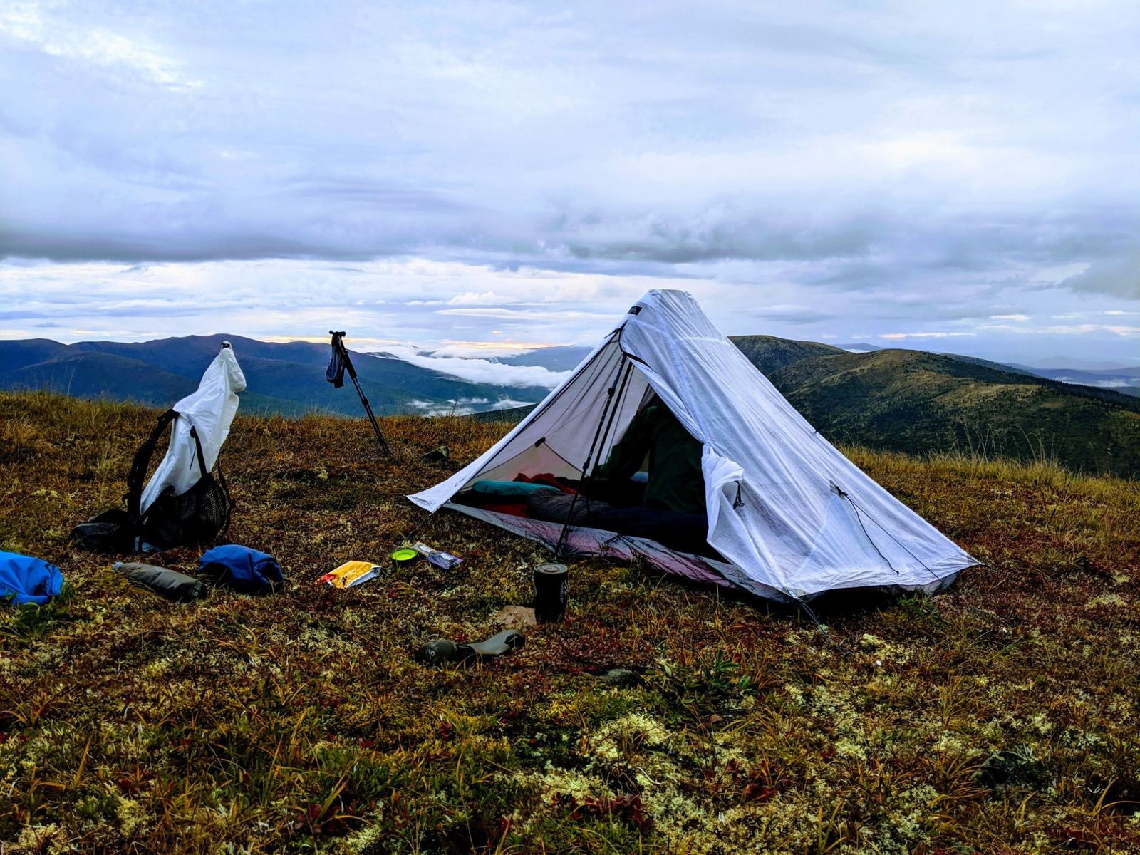
Top Camping Spots Along the Steese Highway
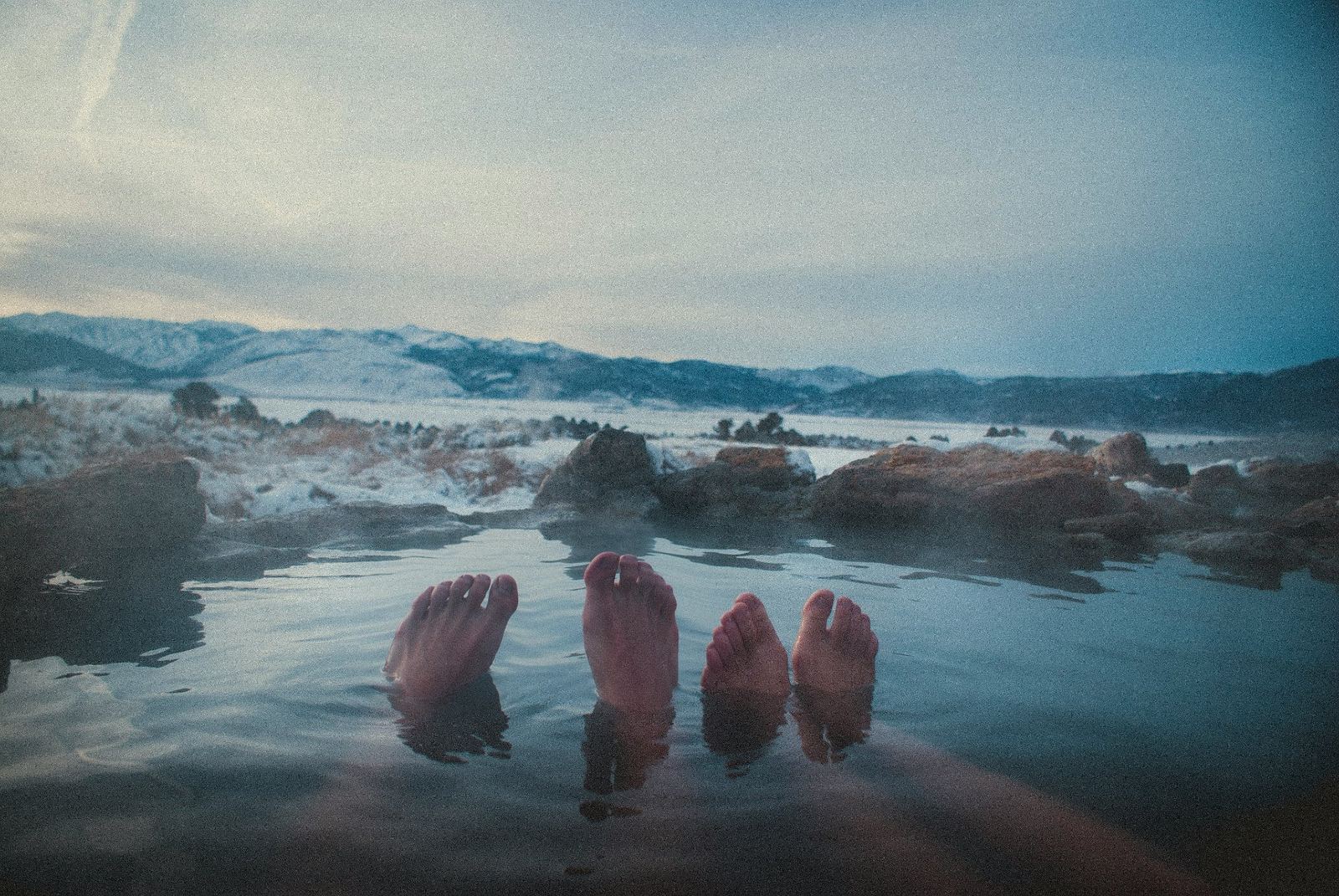
One of the greatest draws of the Steese Highway is the abundance of excellent, uncrowded camping spots. Whether you are pitching a tent or driving a recreational vehicle, you will find plenty of places to pull over and spend the night under the vast Alaskan sky. Before you head out, make sure you have everything you need by checking our comprehensive Alaska road trip packing list.
Chatanika River State Recreation Site (Mile 39)
Located just an hour outside of Fairbanks, this is a fantastic first stop. The campground is nestled right along the banks of the Chatanika River, offering 25 campsites equipped with fire rings and picnic tables. It is an ideal spot for families and those who want a peaceful night's sleep with the sound of rushing water in the background. The area is heavily wooded, providing excellent privacy between sites.
Cripple Creek Campground (Mile 60)
Managed by the Bureau of Land Management (BLM), Cripple Creek is accessed via a short drive down the U.S. Creek Road. This campground is a hidden oasis in the Nome Creek valley. It features well-maintained sites, potable water (during the summer months), and vault toilets. The surrounding area is rich in gold mining history, and you can even try your hand at recreational gold panning in the nearby streams.
Eagle Creek (Mile 101)
If you prefer dispersed, informal camping, the pull-outs near Eagle Creek offer stunning views and immediate access to the water. This area is higher in elevation, meaning the trees begin to thin out, offering unobstructed views of the surrounding mountains. It is a popular spot for berry picking in the late summer and offers a true off-the-grid camping experience.
Ketchem Creek (Mile 160)
Just a couple of miles before you reach the end of the Steese Highway in Circle, Ketchem Creek provides a quiet place to rest. It is a primitive camping area, so you will need to be entirely self-sufficient, but the reward is absolute tranquility and the chance to spot local wildlife coming down to the creek to drink.
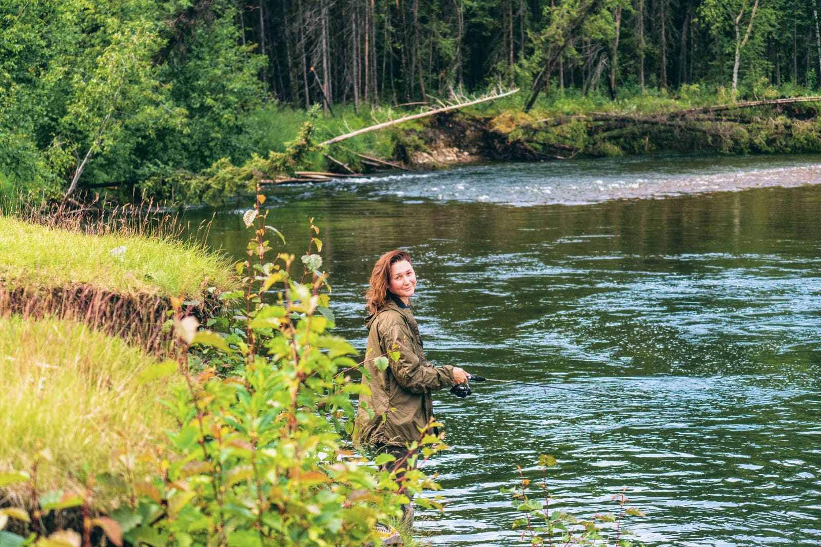
Unforgettable Fishing Spots on the Steese Highway
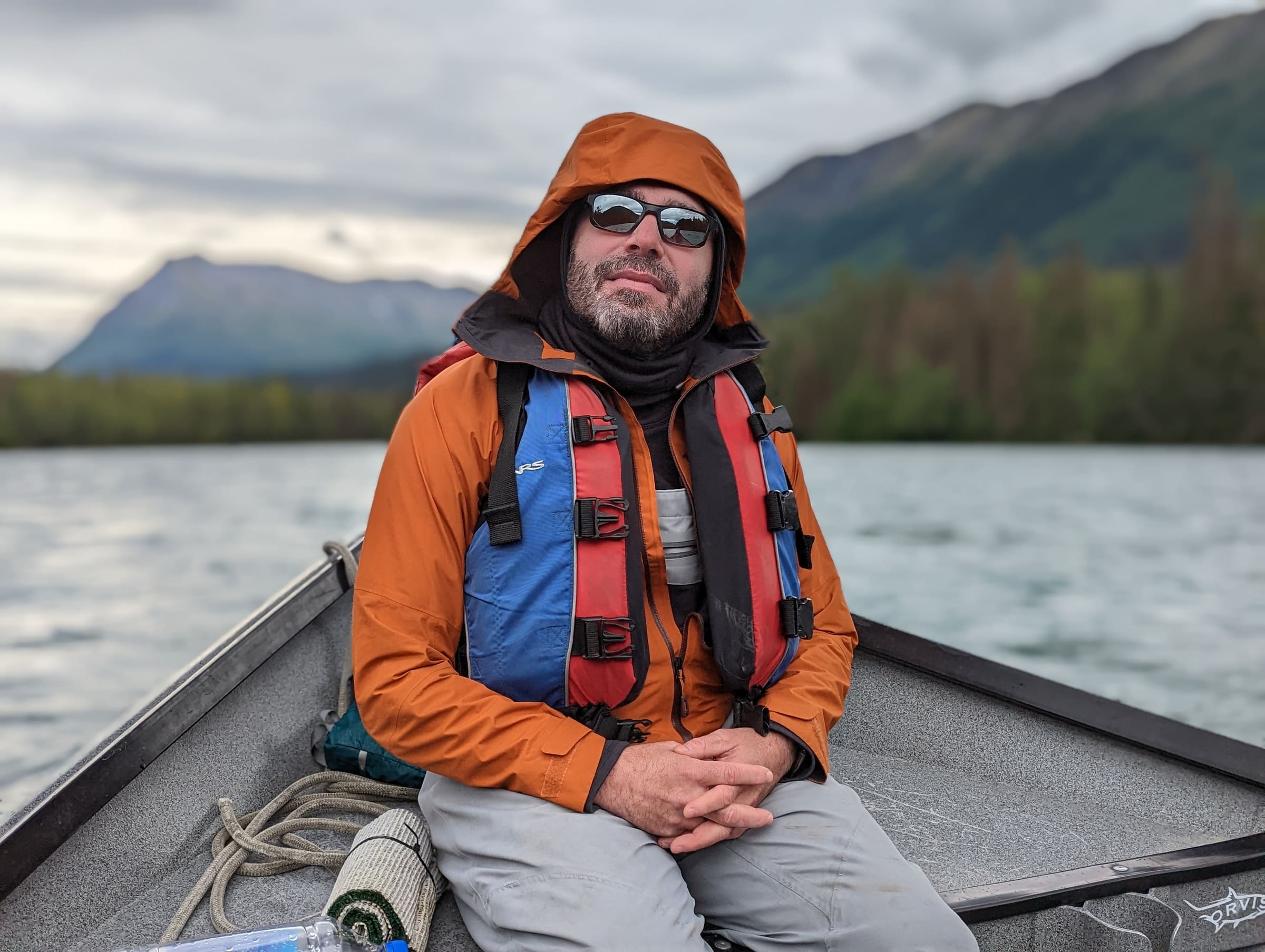
If you are packing your fishing gear, the Steese Highway will not disappoint. The rivers and streams that intersect this historic route are teeming with fish, and the lack of heavy tourist traffic means the fishing holes are rarely overfished.
The Chatanika River
Accessible from multiple points along the first 40 miles of the highway, the Chatanika River is famous for its Arctic Grayling, Northern Pike, and Whitefish. The clear, cold waters make for excellent fly fishing. In the late summer and early fall, you might also catch the whitefish run, a unique event that draws local anglers from Fairbanks.
Birch Creek
Birch Creek is a legendary waterway in the Alaskan interior. The Steese Highway crosses Birch Creek at Mile 94 and again at Mile 147. This makes it a highly popular destination for float trips. Anglers floating between the two highway crossings can expect world-class fishing for Arctic Grayling, Northern Pike, and Burbot. Even if you aren't floating the river, fishing from the banks near the highway bridges can yield excellent results. The grayling here are known to be aggressive and will readily take dry flies.
Faith Creek and Nome Creek
These smaller tributaries are perfect for those who enjoy wading and casting in quieter waters. Nome Creek, accessible near the Cripple Creek campground, is strictly catch-and-release for Arctic Grayling, which helps maintain a healthy and robust fish population. It is a fantastic place to practice your fly-fishing technique in a pristine environment.
A Mile-by-Mile Guide to the Journey
Driving the Steese Highway is an exercise in appreciating the journey as much as the destination. Here are some of the key milestones you will encounter along the way.
- Mile 11 - Fox, Alaska: This is where the Steese Highway officially begins its journey away from the Elliot Highway. You can view the Trans-Alaska Pipeline here, an engineering marvel that stretches across the state.
- Mile 21 - Cleary Summit: At an elevation of 2,233 feet, this summit offers panoramic views of the Tanana Valley to the south and the White Mountains to the north. It is a spectacular spot for photography.
- Mile 85 - Twelvemile Summit: As you climb above the tree line, the landscape transforms into alpine tundra. This is a great place to pull over, stretch your legs, and take a short hike along the Pinnell Mountain National Recreation Trail.
- Mile 107 - Eagle Summit: The highest point on the Steese Highway at 3,624 feet. During the summer solstice, locals flock here to watch the midnight sun dip just above the horizon before rising again. The weather here can be unpredictable, so dress in layers.
The Journey to the End: Arriving in Circle
After 162 miles of driving, the Steese Highway abruptly ends in the small town of Circle. Originally named "Circle City" by miners who mistakenly believed it was located on the Arctic Circle (it is actually about 50 miles south of it), this town was once the largest log cabin city in the world during the late 1800s gold rush. Today, it is a quiet community of fewer than 100 residents.
While the town itself has limited amenities, the true reward of reaching the end of the Steese Highway is standing on the banks of the Yukon River. The Yukon is one of the longest and most powerful rivers in North America, and watching its muddy waters flow relentlessly toward the Bering Sea is a humbling experience. You can camp near the riverbank, chat with the friendly locals, and reflect on the incredible journey you just completed.
Essential Preparation for the Steese Highway
Because the Steese Highway is remote and only partially paved, proper preparation is absolutely critical for a safe and enjoyable trip. The first 44 miles are paved, but the remaining 118 miles are gravel. The condition of the gravel can vary wildly depending on recent weather and maintenance schedules.
First, ensure your vehicle is up to the task. Good tires, preferably with a full-size spare, are mandatory. The gravel can be sharp, and potholes are common. If you are debating what type of vehicle to take, you might want to read our guide on choosing between an RV or a car for your Alaskan adventure.
Second, fuel is scarce. There are no gas stations between Fox (Mile 11) and Central (Mile 127). You must leave Fairbanks with a full tank and consider carrying extra fuel if your vehicle has a limited range. For more detailed advice, check out our comprehensive guide to fuel planning in Alaska.
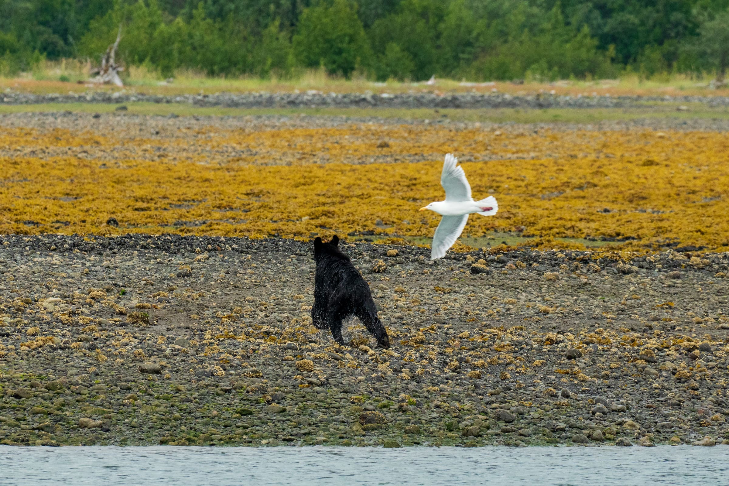
Finally, remember that you are traveling through prime bear and moose country. Wildlife encounters are common along the Steese Highway, especially near rivers and berry patches. Always carry bear spray, keep a clean camp, and familiarize yourself with wildlife safety in Alaska before you set out.
Frequently Asked Questions
Is the Steese Highway paved?
The Steese Highway is only paved for the first 44 miles from Fairbanks. The remaining 118 miles to the town of Circle are gravel. The gravel section is generally well-maintained during the summer months, but it can be dusty when dry and slick or muddy after heavy rains. Drivers should expect potholes, frost heaves, and occasional washboarding.
How long does it take to drive the Steese Highway?
If you were to drive the entire 162-mile length of the Steese Highway without stopping, it would take approximately 4 to 5 hours each way due to the reduced speeds required on the gravel sections. However, to truly enjoy the fishing, camping, and scenic viewpoints, we recommend dedicating at least two to three days for a round trip.
Is there cell phone service on the Steese Highway?
Cell phone service is extremely limited on the Steese Highway. You will likely lose service shortly after leaving the Fairbanks/Fox area. There may be brief, spotty connections at high elevations like Cleary Summit or Eagle Summit, but you should plan on being entirely disconnected for the majority of the drive. Carrying a satellite communication device is highly recommended for emergencies.
What is the best time of year to drive the Steese Highway?
The best time to drive the Steese Highway is between June and early September. During these months, the road is free of snow, the campgrounds are accessible, and the fishing is at its peak. The highway is kept open year-round, but winter driving is treacherous and recommended only for fully equipped, experienced winter drivers.
Ready to Explore the Steese Highway?
The Steese Highway is a testament to the wild, untamed spirit of Alaska. It offers a rare chance to disconnect from the modern world, cast a line into crystal-clear waters, and sleep under a sky untouched by city lights. While the drive to the end of the road might test your patience with its long, quiet stretches, the profound sense of peace and the stunning natural beauty make every mile worth it. If you are ready to add this incredible route to your itinerary, let us help you plan your trip today. Pack your gear, fill up your tank, and get ready for the road trip of a lifetime!
See a real Alaska itinerary before you spend a dollar
A real 3-day plan with driving times, lodging picks, and a daylight chart — free, in your inbox.
One email. No spam. Unsubscribe anytime. Or view it right now — no email needed ↗
Ready for the full plan? Get your custom itinerary — $197 · 5-day delivery →