The Top of the World Highway: Driving Above the Treeline
The Top of the World Highway is one of the most dramatically named roads in North America, and for once, the name is not an exaggeration. This 79-mile road between Dawson City, Yukon, and the Alaska border runs along exposed ridgelines above the treeline, offering 360-degree views of rolling mountains, river valleys, and tundra that stretch to the horizon in every direction.
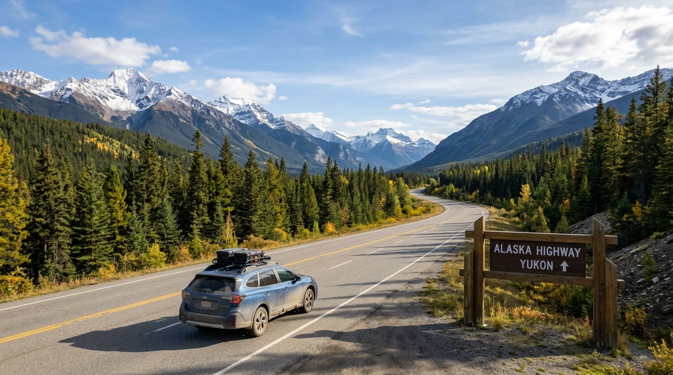
Combined with the Taylor Highway on the Alaska side and the Klondike Highway on the Yukon side, this route forms a spectacular loop that connects Tok, Alaska, with the Alaska Highway near Whitehorse. It is one of the most rewarding detours you can make on an Alaska road trip, adding Gold Rush history, frontier culture, and some of the best high-alpine driving anywhere.
Understanding the Loop
The full loop starts and ends on the Alaska Highway. Here is how it breaks down:
- Tok to Chicken, Alaska via the Taylor Highway (66 miles)
- Chicken to the US-Canada border via the Taylor Highway (12 miles to the junction, then the Top of the World Highway)
- Border to Dawson City, Yukon via the Top of the World Highway (66 miles to the Yukon River ferry, then into town)
- Dawson City to Whitehorse via the Klondike Highway (330 miles)
- Whitehorse to Tok via the Alaska Highway (about 395 miles)
The full loop is roughly 870 miles. Most travelers drive it in three to five days, spending at least one night in Dawson City and one in Whitehorse.
When Is the Road Open?
The Top of the World Highway is seasonal, typically open from mid-May through mid-September. The exact dates vary by year depending on snow conditions. The border crossing at Poker Creek/Little Gold Creek operates on limited hours, generally 8 AM to 8 PM Alaska time (9 AM to 9 PM Pacific time) during the summer season. It is closed entirely from mid-September through mid-May.
The Dawson City ferry across the Yukon River also operates seasonally, typically from late May through mid-October. There is no bridge. If the ferry is not running, you cannot reach Dawson City from this direction.
Check current conditions before you go. Arriving at a closed border or a shut-down ferry after driving hours of remote highway is not a situation you want to be in.
Tok to Chicken via the Taylor Highway
The Taylor Highway begins at Tetlin Junction, about 12 miles east of Tok on the Alaska Highway. The road is paved for the first 33 miles, then transitions to gravel for the remaining stretch to Chicken.
The Taylor Highway climbs through spruce forest and into alpine terrain with excellent views. The road is winding and narrow in places, with some steep grades, but is manageable for most vehicles in dry conditions. A high-clearance vehicle is recommended but not strictly necessary. See our 4WD guide for Alaska for vehicle recommendations on roads like this.
Chicken, Alaska
Chicken is a tiny community (population: around 12 in winter, a few dozen in summer) that has embraced its quirky name with good humor. The story goes that early miners wanted to name the town "Ptarmigan" after the local bird but could not agree on the spelling, so they went with Chicken instead.
There are three distinct operations in Chicken, each with its own personality:
- Chicken Gold Camp: Gift shop, cafe, fuel, RV parking, and gold panning
- Downtown Chicken: The original town site with a saloon and gift shop
- Chicken Creek RV Park: Camping and basic services
Fuel is available in Chicken but expensive. Fill up in Tok before you leave. Gold panning is a popular activity here, and several operators offer the chance to pan for real gold in local creeks.
The Border Crossing
The US-Canada border on the Top of the World Highway is at Poker Creek (US side) and Little Gold Creek (Canadian side). This is one of the most remote border crossings on the continent.
Important details:
- Hours are limited (8 AM to 8 PM Alaska time, summer only)
- You need a valid passport
- No fresh fruits, vegetables, or meats across the border
- Declare all firearms (Canadian firearms laws are strict)
- There are no services at the border itself
Plan your timing carefully. If you arrive after the border closes, there is nowhere to go. The nearest services on the Alaska side are back in Chicken, and on the Canadian side, it is 66 miles to Dawson City.
Want a custom itinerary built for your trip? We'll plan your entire Alaska road trip around your dates, budget, and interests. Get your custom itinerary →
The Top of the World Highway: The Main Event
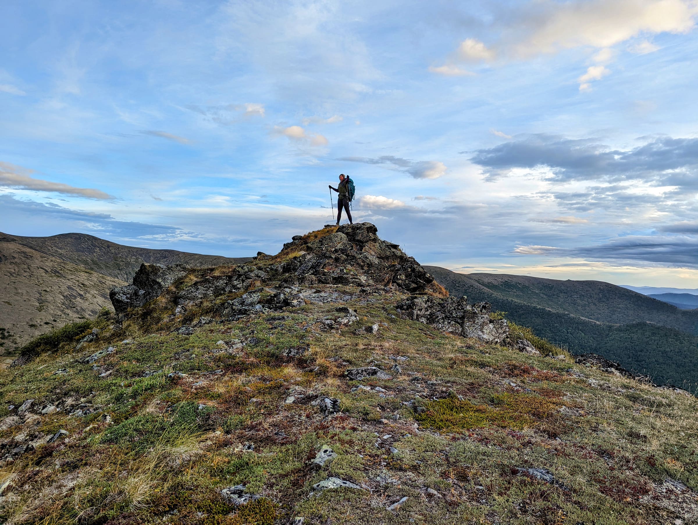
Once across the border into Canada, the Top of the World Highway proper begins, and the scenery is breathtaking. The road follows ridgelines at elevations of 3,500 to 4,500 feet, running above the treeline for most of its length. On clear days, you can see for 50 miles or more in every direction.
The road is gravel, narrow, and winding, with no guardrails and steep drop-offs in places. It is generally in good condition during summer, but rain can make it slippery. Drive carefully and enjoy the views. There are frequent pullouts for photos, and you will want to stop often.
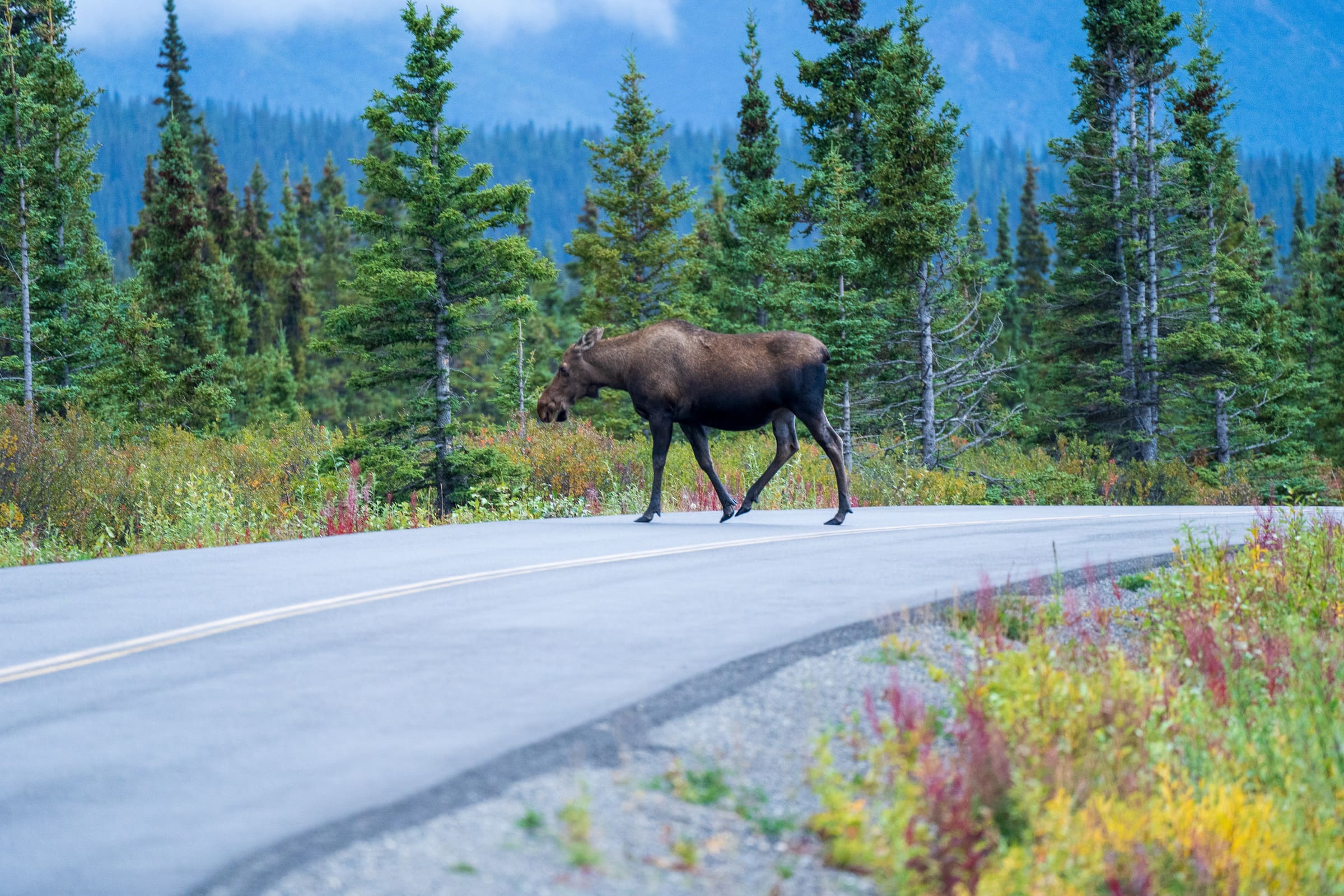
Wildlife is common along the ridgelines, including caribou, grizzly bears, and golden eagles. The tundra wildflowers in June and July are spectacular.
The Yukon River Ferry and Arrival in Dawson City
The Top of the World Highway ends at the Yukon River, directly across from Dawson City. A free government ferry carries vehicles across the river. During peak summer, the ferry runs 24 hours a day. Waits of 30 to 60 minutes are possible during busy periods, but the crossing itself takes only about seven minutes.
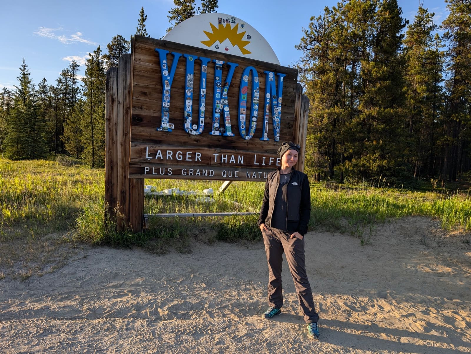
Dawson City: The Heart of the Gold Rush
Dawson City is one of the most remarkable small towns in North America. Founded during the Klondike Gold Rush of 1898, the town has preserved its frontier character to a remarkable degree. Dirt streets, wooden boardwalks, and restored Gold Rush-era buildings create an atmosphere that feels genuinely historic rather than manufactured.
Must-do experiences in Dawson City:
- Diamond Tooth Gerties: Canada's oldest legal gambling hall, with nightly cancan shows
- The Sourtoe Cocktail: A Dawson City tradition at the Downtown Hotel. A shot of whiskey with a preserved human toe in the glass. You do not have to swallow the toe. "You can drink it fast, you can drink it slow, but the lips have got to touch the toe."
- Dredge No. 4: A massive gold dredge preserved as a national historic site, eight miles south of town
- Midnight Dome: Drive to the top of this hill above town for panoramic views of Dawson City, the Yukon River, and the Klondike River. In late June, you can watch the midnight sun from here.
- Bonanza Creek: Visit the actual discovery claim where gold was found in 1896, sparking the greatest gold rush in history
Dawson City has hotels, hostels, campgrounds, restaurants, grocery stores, and fuel. Plan to spend at least one full day here. Two days is better.
Dawson City to Whitehorse via the Klondike Highway
The return leg of the loop follows the Klondike Highway south from Dawson City to Whitehorse, a distance of 330 miles that takes about six hours. This is a paved, well-maintained highway with regular services.
Key stops along the way:
- Moose Creek Lodge (Mile 245): A classic roadhouse with food and fuel
- Stewart Crossing: Junction with the Silver Trail, which leads to the historic mining communities of Mayo and Keno City
- Pelly Crossing: A First Nations community on the Pelly River
- Carmacks: Named for George Carmack, who co-discovered gold on Bonanza Creek. Good fuel and food stop.
- Five Finger Rapids: A short trail leads to a viewpoint overlooking these famous rapids on the Yukon River
Practical Tips for the Loop
Vehicle
A standard car can handle the Taylor Highway and Top of the World Highway in dry conditions, but a truck or SUV with higher clearance is more comfortable and provides better insurance against rough patches. If you are in an RV, be aware that the Taylor Highway and Top of the World Highway are narrow and winding. Large RVs (over 30 feet) will find the road stressful and are not recommended.
Fuel
Fill up in Tok before starting the Taylor Highway. Fuel is available in Chicken and Dawson City, but prices are high. The stretch from Chicken to Dawson City (roughly 130 miles) has no fuel. Carry extra if your vehicle has a small tank.
Timing
Allow at least three days for the loop if you want to enjoy it: one day driving to Dawson City, one day exploring Dawson, and one day driving to Whitehorse (or back to Tok via the Alaska Highway). Four to five days is ideal.
Weather
The Top of the World Highway is at elevation and exposed. Weather can change rapidly. Bring warm layers and rain gear even in July. Snow is possible at the higher elevations into early June and again in September.
Driving the Loop in Reverse
You can drive the loop in either direction. Starting from Whitehorse and driving north to Dawson City via the Klondike Highway, then crossing the Top of the World Highway into Alaska, works equally well. The main consideration is the border crossing hours: plan to reach the border well before closing time regardless of which direction you are traveling.
Is This Loop Worth the Detour?
Without question. The Top of the World Highway delivers some of the most spectacular alpine driving in the north, and Dawson City is a genuinely unique destination that you will not find anywhere else. If your Alaska road trip brings you through Tok or along the Alaska Highway, this loop is one of the best additions you can make to your itinerary.
See a real Alaska itinerary before you spend a dollar
A real 3-day plan with driving times, lodging picks, and a daylight chart — free, in your inbox.
One email. No spam. Unsubscribe anytime. Or view it right now — no email needed ↗
Ready for the full plan? Get your custom itinerary — $197 · 5-day delivery →