
Yes, you can drive from Canada to Alaska. The road is fully paved.
When drivers ask can you drive from canada to alaska, they are often surprised to learn that the entire 2,200-mile corridor between the lower forty-eight states and Anchorage has been paved for decades. Even so, driving through Canada to Alaska involves clearing two international border posts, crossing isolated boreal forests where mobile reception vanishes for consecutive hours, and managing tight fuel ranges between settlements. Long driving stretches test your endurance. Planning this journey requires calculating real-world driving hours across isolated mountain passes, carrying correct border paperwork for customs agents at both crossings, and booking scarce motel rooms months before your departure date.
Short answer: yes, and here is what that drive really asks of you
A United States or Canadian citizen with a valid passport can drive to Alaska through Canada without special permits. You do not need a four-wheel-drive truck or a guided convoy during the summer travel months. A standard passenger car handles the highway surface. Front-wheel drive works fine.
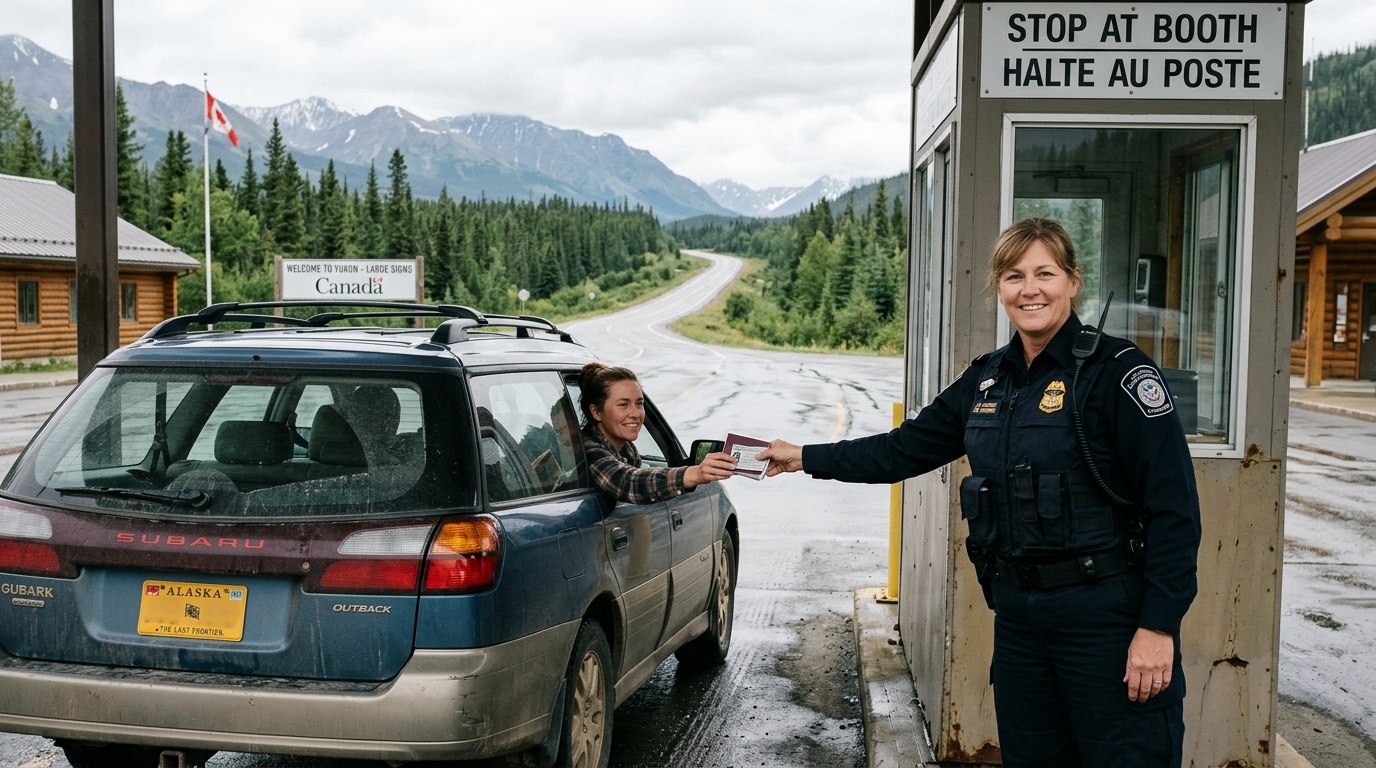
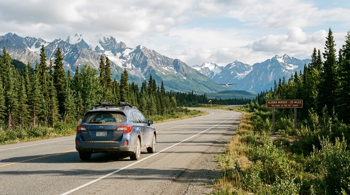
The journey requires passing through two international border checkpoints. If you depart from the Lower 48, your first crossing occurs at the United States-Canada frontier. Popular entry points include the Sweetgrass, Montana into Coutts, Alberta crossing along Interstate 15, or the Blaine, Washington into Surrey, British Columbia crossing via Interstate 5. After traversing British Columbia and the Yukon, your second border crossing brings you into Alaska. The primary entry point sits west of Beaver Creek, Yukon, where Alaska Route 2 leads toward Tok.
The driving distance between northern Montana or Washington and Anchorage runs roughly 2,200 to 2,400 miles. That distance requires five to seven full driving days in each direction. It is remote.
Three logistical hurdles trip up independent planners:
- Strict border document checks and prohibited entry items.
- Unrealistic daily mileage targets that ignore road construction delays and mountain topography.
- Lodging scarcity in small northern settlements like Watson Lake and Tok.
Mapping the highway line on a digital navigation app is simple. Building a realistic, day-by-day schedule that accounts for remote fuel stations, reduced evening dining hours, and room availability is where most DIY plans run into trouble.
Driving through Canada to Alaska: documents, border rules, and what gets you turned around
Border officers on both sides of the frontier enforce strict entry standards. Paperwork errors cause costly delays. Showing up unprepared can end your journey before it starts.
According to the U.S. Customs and Border Protection Western Hemisphere Travel Initiative guidelines, U.S. citizens re-entering the United States by land must present a valid passport book, passport card, or an Enhanced Driver's License. An Enhanced Driver's License or passport card satisfies land-border officials. However, if your vehicle suffers a catastrophic mechanical failure in the Yukon and you must fly home, commercial airlines require a full passport book. Carrying a valid passport book avoids that trap. For broader entry rules, travelers should review the general guidelines from U.S. Customs and Border Protection prior to departure.
The Canada Border Services Agency enforces strict prohibitions on specific consumer goods. Handguns, automatic firearms, and pepper spray designed for self-defense against humans are restricted or prohibited from crossing into Canada. Epipens and approved bear repellent spray are generally allowed if labeled clearly for wildlife defense. Bringing recreational cannabis across the Canadian border is illegal in both directions, regardless of state or provincial legalization. Undeclared alcohol and tobacco over standard personal exemptions face steep duties or confiscation.
Families traveling with children must pay attention to custody paperwork. If a minor child travels with only one parent, Canadian border agents routinely request a signed, notarized letter of consent from the non-traveling parent. The letter should include contact phone numbers and state permission for the trip dates. Lacking this document can lead to prolonged interviews or entry denial.
Traveling with pets introduces extra documentation. You must provide a current rabies vaccination certificate issued and signed by a licensed veterinarian. The certificate must identify your dog by breed, color, age, and microchip number.
Clearance times at the Sweetgrass and Coutts border crossing generally take 15 to 45 minutes on average summer weekdays. Peak summer holiday weekends can push waits past two hours. The Beaver Creek border station entering Alaska is quieter, with clearance typically taking 10 to 20 minutes unless secondary agricultural inspections are required.
The Alaska Highway route, broken into legs you can actually drive
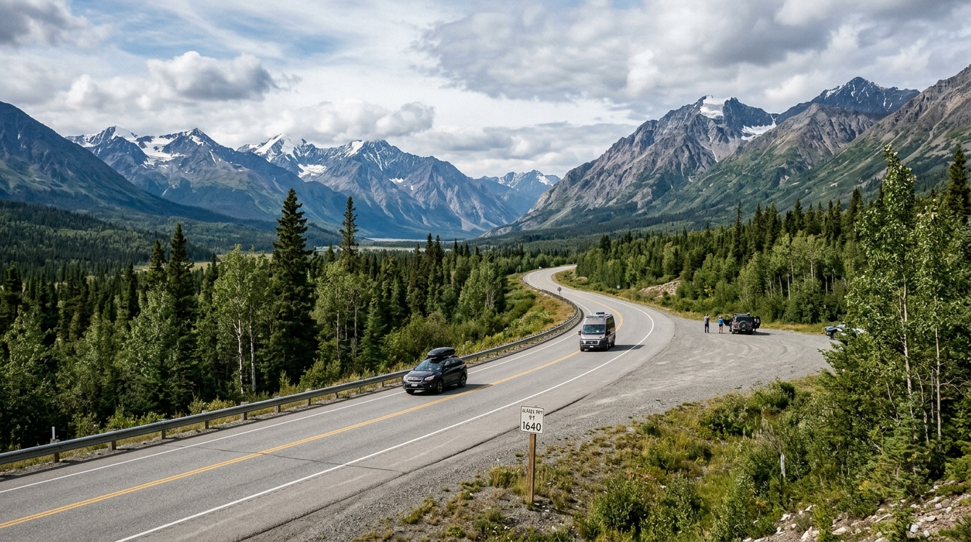
The backbone of this drive is the historic Alaska Highway, originally constructed during World War II. As documented by Bells Alaska, the highway officially begins at Mile 0 in Dawson Creek, British Columbia, and terminates 1,387 miles later at Delta Junction, Alaska. From Delta Junction, drivers continue on the Richardson and Glenn Highways to reach Anchorage, or head north to Fairbanks.
A sensible itinerary divides the alaska highway route into manageable daily legs:
- Dawson Creek to Fort Nelson, British Columbia: 283 miles through rolling foothills and boreal forest.
- Fort Nelson to Watson Lake, Yukon: 320 miles through the Northern Rocky Mountains, passing Muncho Lake and Liard Hot Springs.
- Watson Lake to Whitehorse, Yukon: 272 miles of winding terrain across the continental divide.
- Whitehorse to Tok, Alaska: 388 miles along Kluane Lake and across the international border at Beaver Creek.
- Tok to Anchorage, Alaska: 318 miles along the Tok Cut-Off and Glenn Highway, flanking the Wrangell Mountains.
Capping your travel at 300 to 350 miles per day keeps the drive manageable. While that distance might take five hours on an interstate highway, northern driving demands seven to nine hours. Road work, slow-moving RVs, and frost-heave dips limit your average speed. You can review our detailed Alaska Highway driving guide for mile-by-mile logistical landmarks along these segments.
The run between Fort Nelson and Watson Lake catches many motorists unprepared. Services are sparse here. Distances are deceiving.
Drivers approaching from Washington or Oregon often take the Stewart-Cassiar Highway as an alternative. It intersects the Alaska Highway west of Watson Lake. The Cassiar is quieter and scenic, but it has fewer services, longer stretches of active logging traffic, and narrower shoulders than the standard Alaska Highway route.
How long the drive takes, and where people underestimate it
Pure driving time from the northern United States border to Anchorage requires 45 to 50 hours of seat time. Spreading that across six to eight days allows you to navigate the corridor without exhaustion. Speed kills tires.
A smart schedule includes two buffer days. Weather events, road maintenance, and wildlife delays occur regularly. A single herd of wood bison licking mineral salt from the asphalt in northern British Columbia can halt highway traffic for 40 minutes while calves clear the lanes.
Summer daylight acts as both an asset and a risk. With 18 to 22 hours of functional light between June and August, your brain does not register fatigue normally. Pushing through a 550-mile day simply because the sun remains above the horizon at 11:00 PM creates severe driver fatigue on two-lane roads bordered by soft gravel shoulders.
Active road construction runs continuously from late May through early September. The northern climate leaves road crews a brief window to repair frost heaves, lay seal coat, and rebuild culverts. Expect pilot cars and unpaved gravel detour tracks that create 20 to 45-minute pauses on multiple stretches each day.
Consider the logistics of round-trip travel versus one-way driving. Driving both directions requires roughly 5,000 miles and nearly two weeks behind the wheel before you explore interior Alaska. Some visitors choose to drive up via Canada and ship their personal vehicle back via barge from Anchorage to Tacoma, flying home commercially. Compare the expenses of vehicle shipping, gas, and extended lodging early in your planning cycle.
Where you sleep: lodging reality on the Canada-to-Alaska corridor
Independent travelers often assume they can drive until they feel tired and pull into a roadside motel. That approach fails along the northern corridor. Rooms sell out fast.
Towns such as Watson Lake, Beaver Creek, and Tok maintain small local populations and limited commercial room inventory. A settlement might possess three modest motels totaling fewer than 80 rooms. In July and August, road construction crews, commercial truckers, and tour caravans book these rooms months in advance. Arriving in Tok at 8:00 PM without a confirmed reservation can force you to sleep upright in your front seat.
Secure your rooms in the Yukon and eastern Alaska border towns before you book hotels in Anchorage or Fairbanks. The remote outposts represent your primary bottleneck nights. If you are curious about room compression patterns across the region, read our analysis on Alaska lodging availability to understand how peak inventory moves.
Traveling in an RV alters the logistics, but it does not eliminate the space crunch. Municipal RV parks and private campgrounds with full electrical and sewer hookups experience similar capacity constraints during mid-summer. Dry camping at highway pullouts is permitted in parts of the Yukon and British Columbia, but established campgrounds with clean water fill rapidly by mid-afternoon.
Alaska Road Trip hand-picks lodging and gives you direct booking links, but you book it yourself—it does not make reservations on your behalf, so you keep full control and flexibility.
Fuel, food, and cell service: the practical gaps
Managing practical vehicle logistics prevents roadside emergencies in areas lacking roadside assistance clubs. Fill up often.
Adopt a simple fuel habit: pull into open service stations when your tank drops below half. The 320-mile stretch between Fort Nelson and Watson Lake, as well as the 125-mile run from Tok to Glennallen, feature service stations that may close unexpectedly due to mechanical generator issues or delivery delays. Carrying a small, certified five-gallon fuel can in your truck bed or cargo rack offers useful peace of mind.
Cell phone coverage drops out completely across hundreds of miles in northern British Columbia and the Yukon. Do not rely on streaming mobile navigation apps. Download regional mapping data to your phone memory for offline use, and keep a physical paper road atlas in your glove compartment. Satellite messengers offer a reliable way to communicate with family members when traversing out-of-service zones.
Food choices outside major centers like Dawson Creek, Fort St. John, and Whitehorse consist mainly of basic diners, roadhouses, and gas station convenience shelves. Remote kitchens face supply chain constraints and often shut down their grills by 7:30 or 8:00 PM. Keep a cooler stocked with drinking water, dried fruit, nuts, and sandwich supplies to cover unexpected delays. Carry spare water.
Wildlife encounters require caution. Stone sheep, moose, black bears, and wood bison frequently stand directly on the driving lane. Moose blend into dark roadside brush and jump into traffic lanes without warning. Reduce your driving speed during dawn and dusk hours. If you spot wildlife, slow down gradually and keep moving. Avoid stopping your vehicle around a blind highway curve to take photos.
Vehicle maintenance requires thorough preparation before departure:
- Inspect your tires, including the full-sized spare, for sufficient tread depth.
- Verify your tire jack, lug wrench, and jumper cables work properly.
- Check your engine coolant and carry spare windshield washer fluid to handle road grime.
- Install a clear bug deflector or headlight protection film to guard against loose gravel tossed by oncoming freight trucks.
What changes in 2026: road conditions, Denali access, and season timing
Traveling the northern highway system in 2026 requires understanding seasonal shifts and destination access rules.
A central planning reality for 2026 involves Denali National Park. The Denali Park Road remains closed at Mile 43 through the 2026 season due to the ongoing Pretty Rocks Landslide bridge reconstruction project. This closure limits how far public transit buses and tour buses travel into the park interior. While this park constraint does not restrict your drive into Alaska, it directly alters how you schedule your days once you arrive in the state. For complete route details and operational alternatives, read our breakdown of the Denali Park Road access project.
The optimal seasonal window for driving from Canada to Alaska begins in late May and runs through early September. Traveling in April or October introduces unpredictable winter weather, sub-freezing temperatures, black ice on mountain summits, and reduced daylight. Many roadside fuel stations, motels, and state parks close for the season between October and mid-May.
Seasonal wildfire activity and highway preservation projects create temporary road closures every summer. Travelers should check provincial and state 511 travel information services every morning before pulling out onto the highway. DriveBC covers British Columbia, Yukon 511 monitors Yukon territories, and Alaska 511 reports state highway conditions.
Itineraries reflect current-season research at the time they're built. The trip dashboard can check available park, road, weather, and aurora data, but Alaska Road Trip does not provide real-time booking availability, live tracking, or guaranteed live condition monitoring.
DIY vs. having the route built for you
Planning an extended drive across western Canada into Alaska requires significant time. Most independent travelers spend dozens of hours reading forum posts, verifying seasonal opening dates, calculating mileage increments, and searching for vacancies across scattered roadside motels. Research drains energy quickly.
The most common DIY failure is poor sequencing. A traveler might reserve a non-refundable wilderness lodge in interior Alaska, only to realize that their overland driving legs require ten hours behind the wheel each day just to make check-in. One missing motel room in Tok or a closed fuel station can force an unexpected night in your vehicle, derailing activities booked down the line.
The following table outlines how self-directed planning compares to a custom itinerary built specifically for this corridor:
| Planning Factor | DIY Planning Approach | Alaska Road Trip |
|---|---|---|
| Time Investment | Extensive forum reading, cross-referencing maps, and manual research | One intake form; complete route delivered in 3 to 5 business days |
| Daily Driving Realism | Often relies on generic GPS drive times that miss construction delays and frost heaves | Paced specifically to road conditions, topography, and seasonal maintenance zones |
| Route Customization | Patchwork itineraries assembled from dated internet travel blogs | Hand-built day-by-day plan tailored to your vehicle type, dates, and pace |
| Pricing Structure | Variable research expenses and trial-and-error bookings | Flat one-time fee across Lite, Standard, Plus, or Concierge tiers |
| Lodging Coordination | Independent guesswork on remote town inventory and drive-leg sequencing | Identifies high-bottleneck towns early with curated booking links |
| Risk and Guarantee | Self-managed risk if driving legs prove unmanageable | Published 14-day money-back guarantee, full refund, no questions asked |
Every itinerary is hand-built by a named founder who has driven these routes on eight Alaska trips between 2015 and 2024, across four seasons. Alaska Road Trip is a one-time flat fee, not a subscription—there are no recurring charges. Pricing is structured as a flat one-time fee based on trip length across Lite, Standard, and Plus tiers. For travelers who want direct strategic input, the Concierge tier adds a thirty-minute live founder call to review route pacing and timing.
Alaska Road Trip recommends activities and tours with timing and booking links; you reserve them yourself. Alaska Road Trip does not book flights or rental cars; you arrange those independently.
Frequently asked questions
Can you drive from canada to alaska?
Yes. You can drive directly from Canada to Alaska on paved, year-round highways. The primary route runs via the Alaska Highway through British Columbia and the Yukon, entering Alaska near the border community of Tok.
Can you drive to alaska from canada?
Yes. Drivers cross from Yukon into Alaska at the Alcan Border customs station on Alaska Route 2, just west of Beaver Creek, Yukon. The road connects directly into the wider Alaska state highway system.
Can you drive through canada to alaska?
Yes. Motorists departing from the contiguous United States can enter Canada through border checkpoints in Washington, Idaho, or Montana, traverse British Columbia and the Yukon Territory, and cross into eastern Alaska.
Do I need a passport to drive from Canada to Alaska?
Yes. Crossing the Canadian border and re-entering the United States requires border-compliant travel identification. While an Enhanced Driver's License or U.S. Passport Card is accepted at land borders, carrying a valid passport book protects you if you face vehicle trouble and must fly home commercially.
How many days does it take to drive from Canada to Alaska?
Driving from the Lower 48 border to Anchorage takes six to eight driving days at a safe pace of 300 to 350 miles per day. Driving from the official start of the Alaska Highway in Dawson Creek, British Columbia to Tok, Alaska takes four to five days.
The drive is doable, but planning makes or breaks it
Driving through Canada to Alaska offers one of the most rewarding overland road journeys in North America. The highway is paved, signed, and maintained for conventional cars. You will pass mountain vistas, river valleys, and isolated northern communities.
The challenge lies in the operational execution. Managing border rules, staging remote overnight stays, and calculating fuel ranges across isolated stretches requires careful foresight. If you are starting your route design, explore our trip planning resource page or consider working with our Alaska itinerary co-pilot to clarify your timeline.
If you want to skip 30 hours of cross-checking border rules, fuel gaps, and Tok motel availability, Alaska Road Trip will build the day-by-day route for you with a flat one-time fee, a printable PDF delivered in 3 to 5 business days, and a 14-day money-back guarantee if it does not fit your trip.

See a real Alaska itinerary before you spend a dollar
A real 3-day plan with driving times, lodging picks, and a daylight chart — free, in your inbox.
One email. No spam. Unsubscribe anytime. Or view it right now — no email needed ↗
Ready for the full plan? Get your custom itinerary — from $197 · 5-day delivery →