
The AlCan Highway is the Alaska Highway. It is a 1,387-mile paved road running from Dawson Creek, British Columbia, through the Yukon Territory to Delta Junction, Alaska. "AlCan" was the wartime military name for the Alaska-Canadian Military Highway, constructed in 1942. Today, it remains the sole continuous overland highway linking Alaska to the contiguous United States road network.
Most travelers hear both terms used interchangeably. They read references to the AlCan in historical accounts, find the Alaska Highway on modern navigation applications, and wonder whether the names refer to two separate routes. They are the same road. Driving it requires crossing two international borders, planning fuel stops across remote northern wilderness, and navigating seasonal frost heaves.
This guide explains what the road is, covers essential Alaska Highway history documented by the Federal Highway Administration, details current driving conditions, and outlines how the route connects into a larger road trip.
What is the AlCan Highway, exactly?
The AlCan Highway is a two-lane, paved, all-season highway connecting northern British Columbia to interior Alaska. The name combines "Alaska" and "Canada." While official maps adopted "Alaska Highway" during the late 1940s, "AlCan" remains common among commercial truckers, long-distance drivers, and historians.
Route designations change across borders:
- British Columbia marks the road as BC Highway 97 from Dawson Creek north to the Yukon border.
- The Yukon Territory signs it as Yukon Highway 1 from Watson Lake through Whitehorse to Alaska.
- Alaska designates it as Alaska Route 2 from the Alcan Border station to the official terminus at Delta Junction.
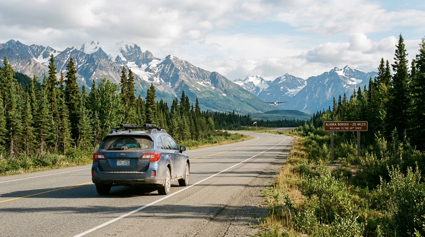
The highway begins at Mile 0 in Dawson Creek, British Columbia, 365 miles north of Edmonton, Alberta. It runs northwest through Fort St. John and Fort Nelson, climbs across the Northern Rocky Mountains at Summit Pass (elevation 4,250 feet), follows the Liard River basin, and enters the Yukon at Watson Lake. From there, it heads west through Whitehorse, skirts the northern edge of Kluane National Park and Reserve, crosses the international border, and ends at Delta Junction, Alaska. At Delta Junction, the highway intersects the Richardson Highway (Alaska Route 4), which heads north toward Fairbanks or south toward Valdez and Anchorage.
Distances between towns are large. Milepost numbers vary between modern vehicle odometers and older historical markers. Wartime mileposts set the original length at 1,422 miles. Subsequent realignments straightened curves, bypassed unstable hillsides, and shortened the driving distance to roughly 1,387 miles (2,232 kilometers). Plan fuel stops by confirmed open stations along each leg instead of odometer figures alone.
Alaska Highway history and construction background
History explains the path. Before 1942, no overland route linked Alaska to Canada or the lower 48 states. Goods and passengers moved north on coastal steamships through the Inside Passage or on early bush planes.
The Pacific theater of World War II spurred construction. Following the attack on Pearl Harbor in December 1941 and Japanese military activity in the Aleutian Islands, American military planners feared sea lanes to Alaska could be cut. In February 1942, President Franklin D. Roosevelt approved a military road through northwest Canada. The route connected airfields on the Northwest Staging Route: Dawson Creek, Fort St. John, Fort Nelson, Watson Lake, and Whitehorse.
Building the road required massive logistical effort. According to the U.S. Army Corps of Engineers, 10,607 military engineers carved the initial pioneer road between March and October 1942 before civilian contractors upgraded the corridor to permanent standards. Seven Army regiments completed the work, including three segregated African American regiments: the 93rd, 95th, and 97th Engineer General Service Regiments. These soldiers worked through brutal subarctic conditions, permafrost, mosquito swarms, and winter temperatures lower than minus 40 degrees Fahrenheit.
The original route was dirt and corduroy. It stayed closed to civilian traffic during the war. Canada took control of its section in 1946 under wartime agreements, and civil authorities opened the highway to the public in 1948. Paving followed over subsequent decades. Today, the paved corridor follows the 1942 path, but bypasses hundreds of original steep switchbacks and creek crossings.
Key historical stops along the highway include:
- The Mile 0 Post and the Alaska Highway House in Dawson Creek, British Columbia.
- The Sign Post Forest in Watson Lake, Yukon, begun in 1942 by homesick American soldier Carl K. Lindley while repairing military signposts.
- The Yukon Transportation Museum in Whitehorse, displaying bush aircraft and early highway maintenance equipment.
- The Delta Meat Center and historical monuments in Delta Junction, marking Mile 1422 and the highway's official end.
Driving conditions along the modern highway
First-time drivers often ask if the Alaska Highway requires an expedition rig or extra fuel drums. It does not. The entire highway is paved. Minivans, passenger sedans, pickup trucks, fifth wheels, and commercial semi-trailers drive it daily throughout the summer months.
Subarctic driving differs from travel on lower-48 interstates. Understanding routine road hazards prevents vehicle damage and travel delays.
Surface conditions and speed
Speed limits generally run 80 to 100 kilometers per hour in Canada (50 to 62 mph) and 55 to 65 mph in Alaska. Realistically, your daily average speed will stay lower.
Pavement heaves above melting permafrost. Discontinuous permafrost beneath the roadbed expands and heaves during seasonal freeze-thaw cycles, creating frost heaves. These sudden mounds and dips act like natural speed bumps across the asphalt. Hitting a frost heave at 60 mph can crack a leaf spring, damage an oil pan, or bend a trailer tongue. In frost-heave zones, particularly between Destruction Bay, Yukon, and the Alaska border, drivers slow to 45 mph. Slow down over rough dips.
Summer is road construction season. Subarctic highway crews work during a short four-month window, which means you will encounter pilot cars, chip-seal applications, and unpaved gravel bypasses. Flying rocks from oncoming semi-trucks crack windshields. Give heavy vehicles room and slow down when passing.
Fuel and services spacing
Fuel pumps sit far apart. Along the southern section near Fort St. John, gas stations appear frequently. On northern sections, especially between Fort Nelson and Watson Lake, or between Haines Junction and Tok, operating pumps can be 50 to 100 miles apart. Small independent stations occasionally run out of fuel or close unexpectedly. Refill when your tank reads half. For step-by-step fuel logistics, read our guide to fuel planning for an Alaska road trip.
Wildlife on the road corridor
Wildlife walks along the gravel shoulders. Cleared rights-of-way produce green clover, dandelion blossoms, and willow shoots earlier in spring than the surrounding boreal forest. You will see black bears, grizzly bears, moose, stone sheep, and caribou beside the roadway.
Between Muncho Lake and Liard River in northern British Columbia, wood bison herds walk directly on the pavement. A bull wood bison weighs over 2,000 pounds, and dark fur makes them difficult to see in dim lighting. Slow down through this area, especially at dawn and dusk. Pull entirely onto the shoulder if you pause to look. Stay inside your vehicle.
Cellular coverage
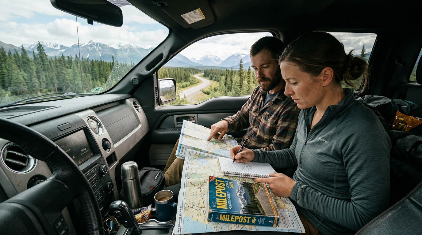
Cell reception vanishes quickly outside settlements. Dawson Creek, Fort Nelson, Watson Lake, and Whitehorse have mobile service, but signals drop within 10 to 15 miles beyond municipal borders. Download digital maps for offline use before your trip. Pack a printed paper map in your glove compartment as a secondary backup.
How long does it take to drive the highway?
Do not rush this drive. A 300-mile leg on the Alaska Highway takes a full day once you factor in fuel stops, chip-seal pilot cars, meals, and frost heaves.
Driving the 1,387 miles between Dawson Creek and Delta Junction requires five to seven days at a realistic pace. Driving it in four days requires alternating drivers and ten-hour shifts behind the wheel, leaving zero leeway for mechanical issues or road delays.
A standard five-day itinerary for the highway segment:
| Day / Leg | Approximate Distance | Typical Drive Time | Route Highlights |
|---|---|---|---|
| Day 1: Dawson Creek, BC to Fort Nelson, BC | 283 miles (455 km) | 5.5 to 6.5 hours | Peace River bridge, boreal forest transition, Fort St. John foothills. |
| Day 2: Fort Nelson, BC to Watson Lake, YT | 319 miles (513 km) | 6.5 to 7.5 hours | Summit Pass summit, Muncho Lake jade waters, Liard River Hot Springs, wood bison herds. |
| Day 3: Watson Lake, YT to Whitehorse, YT | 272 miles (438 km) | 5.0 to 6.0 hours | Sign Post Forest, Rancheria Falls, Continental Divide marker, historic Whitehorse downtown. |
| Day 4: Whitehorse, YT to Beaver Creek, YT | 284 miles (457 km) | 6.0 to 7.0 hours | Kluane Lake views, St. Elias Mountains, heavy permafrost heave zone, Beaver Creek post. |
| Day 5: Beaver Creek, YT to Delta Junction, AK | 200 miles (322 km) | 4.5 to 5.5 hours | U.S. Border inspection, Tetlin National Wildlife Refuge flats, Tok junction, Mile 1422 monument. |
These figures cover only the highway itself. Starting from Seattle, Washington, adds 800 miles and two driving days just to reach Mile 0 in Dawson Creek. Driving from the Midwest adds three to four transit days across Alberta. For approach route options, review our guide to driving to Alaska overland.
Round-trip transit demands ten to twelve driving days on the highway corridor alone. Some travelers drive north, then load their vehicle onto the Alaska Marine Highway ferry in Haines or Whittier to sail south to Bellingham, Washington. Ferry vehicle spots must be booked months ahead.
Best months to drive and 2026 conditions
Summer is the primary driving window. The main season runs from late May through mid-September. Freezing weather rules the remaining months.
Seasonal progression
- Late May through early June brings light traffic and emerging greenery. Mountain passes such as Summit Pass can still receive snow flurries.
- July through mid-August is peak season. Accommodations fill to capacity, daytime temperatures are warm, and road repair projects cause regular traffic stops.
- Late August through September brings autumn color along Kluane Lake and fewer biting insects. Overnight temperatures regularly drop below freezing, and rural lodges close after Labor Day.
- October through April is winter driving. The highway stays open to supply interior communities. Sub-zero temperatures, black ice, and blowing snow require studded tires, block heaters, and cold-weather gear.
To evaluate weather windows across regions, see our guide on the best time for an Alaska road trip.
The 2026 travel season
If you travel in 2026, keep infrastructure projects in mind. Inside Alaska, the Denali Park Road remains closed at Mile 43 through summer 2026 for the Pretty Rocks bridge replacement project. This closure shapes how you structure your time once in the state. Along the Canadian section, check active provincial road status through 511 Yukon before leaving major towns.
Border crossings and required documents
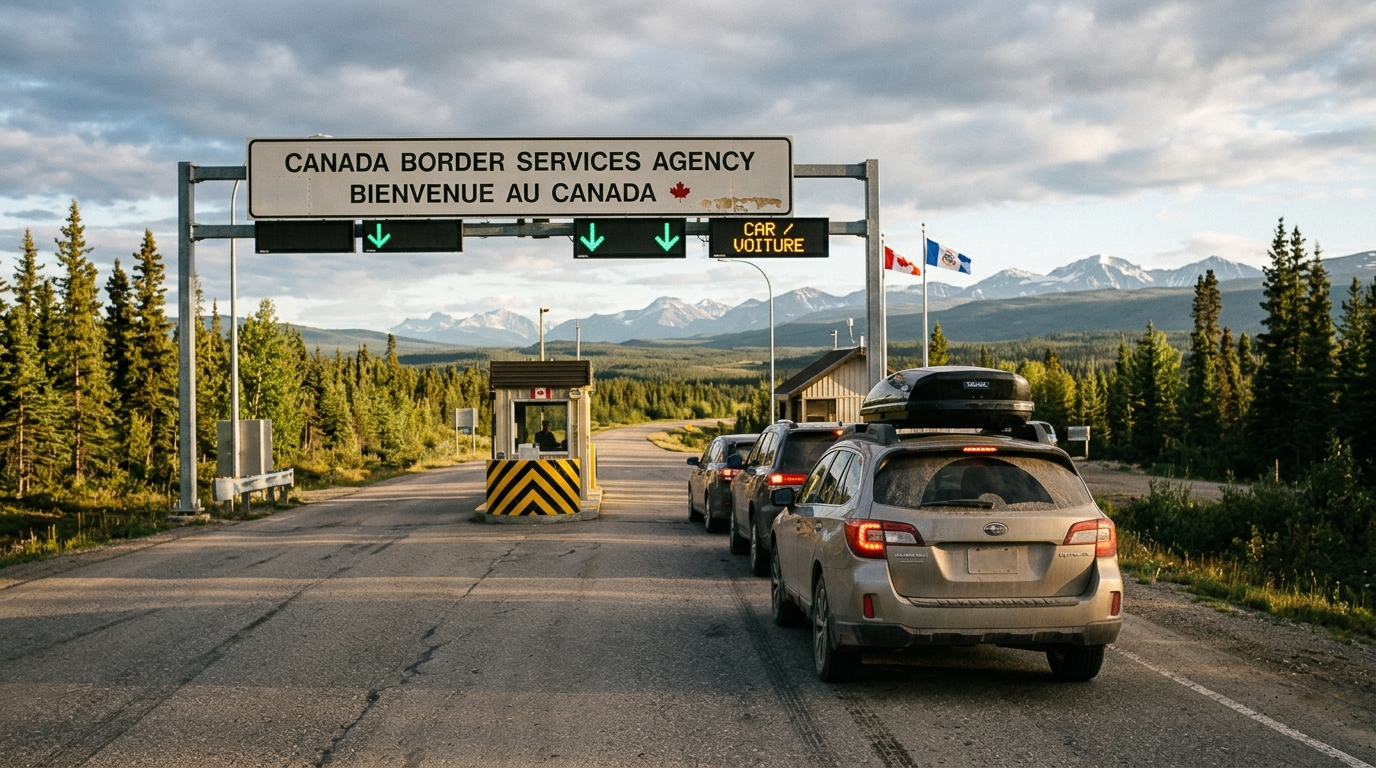
Border rules are strict. Because the highway passes through British Columbia and the Yukon, an overland trip from the contiguous United States crosses two international borders. You enter Canada heading north and re-enter the United States at Alcan Border. You reverse the sequence heading south.
According to Canada Border Services Agency documentation rules, American citizens must carry a valid passport book, U.S. passport card, or NEXUS card for land entry. Driver's licenses alone do not fulfill cross-border requirements.
Check paperwork before leaving home. Border regulations require careful vehicle preparation:
- A criminal record can bar entry. Offenses matching Canadian criminal code definitions, including driving under the influence, make travelers inadmissible without prior paperwork.
- Handguns and short-barreled tactical firearms are prohibited. Long rifles for hunting require an advance non-resident firearm declaration (RCMP form 5592) and an inspection fee. Bear spray is permitted when clearly marked on the canister label for animal protection.
- Pet dogs and cats require current rabies vaccination paperwork from a veterinarian.
- Rules on fresh meat, eggs, and firewood shift depending on agricultural disease quarantines. Use or throw out prohibited agricultural items before approaching the inspection lanes.
The border between Beaver Creek, Yukon, and Alcan Border, Alaska, features a 20-mile stretch between the two inspection stations. Stay on the road along this corridor. For complete document requirements, see our guide on passport requirements when driving to Alaska.
Common planning challenges on the highway
Driving the highway requires steady logistical coordination and defensive driving skills.
Lodging shortages
Roadside motels book up fast. Settlements such as Fort Nelson, Watson Lake, and Tok have few motels. Independent cabins along remote stretches often operate fewer than a dozen rooms. During peak summer travel, these rooms fill months in advance with line crews, transport drivers, and visitors. Drivers who arrive late without reservations often end up sleeping in their vehicles.
Vehicle choice between an RV and a car
Your vehicle type sets your daily pace. Driving an RV provides beds and a kitchen, which reduces dependence on roadside hotels. An RV uses significantly more fuel, requires level campground pads, and travels slower over frost heaves. A passenger car moves faster and gets better fuel economy, but requires confirmed hotel reservations each night. To weigh vehicle trade-offs, consult our comparison of an RV vs. a car for an Alaska road trip.
Tire and suspension wear
Start with fresh, heavy-ply tires. Coarse asphalt, chip-seal grit, and gravel detours wear down tires quickly over 1,400 miles. Inspect your spare tire, vehicle jack, and lug wrench before crossing into Canada. Towing assistance can take hours to reach remote sections outside Watson Lake or Beaver Creek.
Where the highway fits in a broader Alaska itinerary
Delta Junction marks the end point. For most travelers, the highway is an approach route. After reaching Delta Junction, you join the primary Alaska road system, which allows you to loop through different areas of the state.
Driving north toward Fairbanks and Denali
From Delta Junction, drive north on the Richardson Highway (Route 2) for 95 miles to Fairbanks. From Fairbanks, take the George Parks Highway (Route 3) south past Denali National Park toward Anchorage.
Taking the Richardson and Glenn highway loop
Turn south at Delta Junction onto the Richardson Highway past Paxson to Glennallen. At Glennallen, the Glenn Highway (Alaska Route 1) leads west through the Matanuska Valley toward Anchorage, offering views of the Matanuska Glacier.
Incorporating highway sections into a 10-day trip
Travelers with limited vacation time usually cannot spare ten to twelve days solely for highway transit. Instead, they fly into Anchorage, pick up a rental vehicle, and drive highway loops connecting Tok, Delta Junction, and the Kenai Peninsula. To see how these driving days balance, review our 10-day Alaska road trip itinerary.
Route planning options for an Alaska highway drive
Building an extended Alaska road trip requires tracking lodging gaps, fuel distances, and construction schedules across thousands of miles. If you want to avoid piecing together contradictory forum posts, Alaska Road Trip offers customized itinerary planning.
Alaska Road Trip builds custom, day-by-day Alaska road-trip itineraries for a flat one-time fee organized into Lite, Standard, and Plus tiers depending on duration. The Concierge option adds a live founder consultation. Alaska Road Trip is a one-time flat fee, not a subscription—there are no recurring charges.
Every itinerary is hand-built by a named founder who has driven these routes on eight Alaska trips between 2015 and 2024, across four seasons. Your custom plan arrives as a printable, offline-ready PDF in 3 to 5 business days, with 1 to 2 revision rounds included. Every itinerary carries a published 14-day money-back guarantee with a full refund and no questions asked.
The scope of the planning service remains clear:
- Alaska Road Trip hand-picks lodging and gives you direct booking links, but you book it yourself—it does not make reservations on your behalf, so you keep full control and flexibility.
- Alaska Road Trip recommends activities and tours with timing and booking links; you reserve them yourself.
- Alaska Road Trip does not book flights or rental cars; you arrange those independently.
- Itineraries reflect current-season research at the time they are built, including details such as the 2026 Denali Park Road Mile 43 closure. Alaska Road Trip does not provide real-time booking availability, live tracking, or guaranteed live condition monitoring.
To order your custom itinerary, explore options on the plan your trip page.
Frequently asked questions
What is the AlCan Highway?
The AlCan Highway is the Alaska Highway, a 1,387-mile paved road linking Dawson Creek, British Columbia, to Delta Junction, Alaska. Built in 1942 as a wartime military supply route, it is now the primary year-round overland road into Alaska.
Is the AlCan Highway the same as the Alaska Highway?
Yes. "AlCan" was the wartime military name for the Alaska-Canadian Highway. Civil authorities named it the Alaska Highway once construction ended. Both names describe the identical roadway.
Is the Alaska Highway paved the entire way?
Yes, the road is paved with asphalt and chip-seal. While paved, drivers encounter temporary gravel construction zones and permafrost frost heaves that require reduced driving speeds.
How many days does it take to drive the Alaska Highway?
Driving the highway takes five to seven days at a safe pace of 200 to 300 miles daily. You can drive it in four days with multiple drivers, but that schedule leaves no buffer for roadwork or mechanical delays.
Do U.S. citizens need a passport to drive through Canada?
Yes. U.S. citizens must carry a valid passport book, passport card, or NEXUS card to enter Canada and return to Alaska. Standard state driver's licenses do not meet land-border entry rules.

See a real Alaska itinerary before you spend a dollar
A real 3-day plan with driving times, lodging picks, and a daylight chart — free, in your inbox.
One email. No spam. Unsubscribe anytime. Or view it right now — no email needed ↗
Ready for the full plan? Get your custom itinerary — from $197 · 5-day delivery →