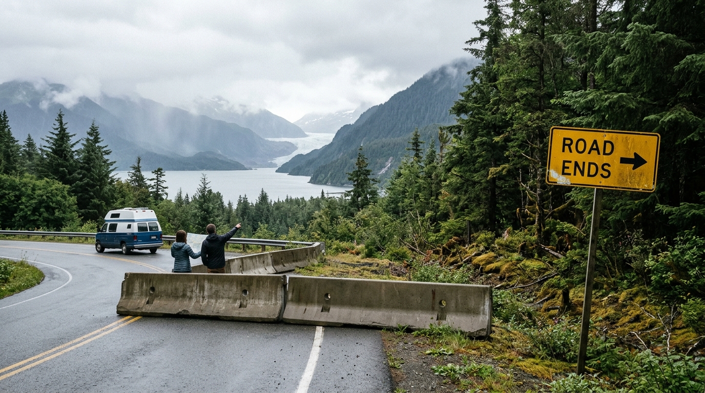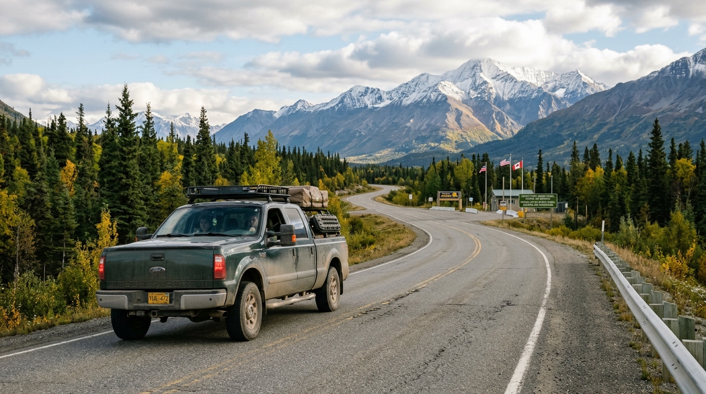

You can drive your own vehicle to Deadhorse, Alaska, but you cannot drive all the way to the waters of Prudhoe Bay without an authorized commercial tour. If you ask can you drive to prudhoe bay, the literal answer is no: the public road ends at the industrial complex of Deadhorse, roughly eight miles short of the Arctic Ocean, where private oilfield security gates block independent vehicle traffic.
Every summer, independent motorists set out north from Fairbanks on Alaska Route 11, the James W. Dalton Highway. Some reach the Arctic Ocean after arranging the required security clearance. Others turn back early because of blown tires, cracked windshields, fuel anxiety, or voided rental car agreements. Understanding what the route demands before you head north determines whether you reach Deadhorse or find yourself stranded on an unpaved industrial corridor.
The short answer: yes, with three catches
If you wonder whether can you drive to prudhoe bay in a personal or rented vehicle, you must account for three critical constraints before setting your itinerary.
First, the Dalton Highway ends at Deadhorse. Deadhorse is an unincorporated work camp built to service the Prudhoe Bay oil fields. The road connecting Deadhorse to the Arctic Ocean passes directly through active oil extraction infrastructure managed by operating companies. Private security checkpoints block all private vehicle access at the edge of town. Reaching the Arctic Ocean requires booking a seat with an authorized tour operator that runs background checks at least 24 hours in advance.
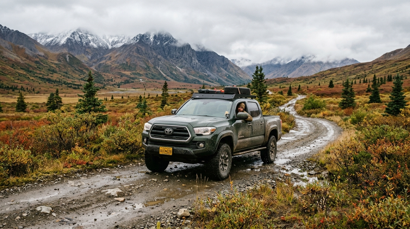
Second, the Dalton is an industrial supply line. The road is 414 miles of mostly gravel, dirt, and treated calcium chloride, built in 1974 to support the Trans-Alaska Pipeline System. Heavy commercial trucks hauling drill pipe, fuel, and modular buildings have the right of way. Most airport rental agencies explicitly forbid driving their vehicles on the Dalton Highway. Violating that restriction voids your insurance coverage and leaves you responsible for all commercial towing and vehicle recovery expenses.
Third, weather dictates your operational window. A prudhoe bay summer road trip is feasible between early June and early September. Outside this window, subzero temperatures, blizzards across mountain passes, and ground blizzards turn the corridor into an extreme environment. Summer changes the corridor quickly. Even in July, you can encounter deep mud, heavy washboard ruts, dense coastal fog, and sudden snow over high mountain passes.
Deadhorse vs. Prudhoe Bay: what you can actually reach
Travelers frequently use Deadhorse and Prudhoe Bay interchangeably, but they represent two distinct operational zones. Knowing the boundary prevents driving 500 miles only to stop at a security gate.
Deadhorse sits at milepost 414 of the Dalton Highway. It consists of modular workforce housing, maintenance shops, industrial equipment yards, two hotels open to the public, and fuel pumps. This is the northern terminus of the public highway system in North America. You can drive a properly equipped vehicle here without special permits, buy unleaded or diesel fuel, purchase hot food, and sleep in a room built for oilfield contractors.
Prudhoe Bay refers to the oil field itself and the geographic body of water. The shoreline of Prudhoe Bay lies behind locked gates within oilfield security boundaries. No public roads lead to the water. If your goal is to reach the Arctic Ocean, you must park your vehicle in Deadhorse and board a transport van operated by a licensed shuttle service. You must submit your identification credentials ahead of time so private security teams can process your entry permit. Arriving unannounced leaves you in the gravel yards of Deadhorse without ocean access.
Driving the Dalton Highway to Prudhoe Bay: the route, mile by mile
Driving the dalton highway to prudhoe bay begins 73 miles north of Fairbanks, where the paved Elliott Highway intersects Alaska Route 11 at Livengood. From this junction, you face 414 miles of remote driving managed jointly by the Alaska Department of Transportation & Public Facilities and federal agencies. Before departing, check road condition reports and maintenance closures on Alaska 511.
The first landmark appears at milepost 56, where the highway crosses the Yukon River on a wooden-deck bridge. The Yukon River Camp provides fuel, restrooms, and a dining hall during the summer. According to the Bureau of Land Management, services are available at only two service stations between Fairbanks and Deadhorse along the 414-mile route before reaching Deadhorse.
At milepost 115, you reach the Arctic Circle sign and wayside, which features interpretive displays, vault toilets, and basic BLM campsites. Many tourists drive from Fairbanks to this point and turn back. The terrain up to the Arctic Circle consists largely of rolling boreal forest.
Milepost 175 brings you to Coldfoot. Coldfoot is the primary halfway station, featuring the Coldfoot Camp truck stop, diesel and unleaded fuel, rustic lodging, a post office, and the Arctic Interagency Visitor Center. According to the National Park Service, the visitor center provides trail conditions, wildlife updates, and interpretive programs during the summer operating season. Coldfoot is essential for logistics because it is your last guaranteed vehicle service and fuel point before a 240-mile desolate stretch to Deadhorse. If you do not fill your tank in Coldfoot, you will run out of fuel on the North Slope. Review our detailed Alaska fuel planning guide to calculate your vehicle range against remote fuel intervals.
North of Coldfoot, the trees thin rapidly. At milepost 188, you pass the historic mining community of Wiseman, located three miles off the highway. At milepost 235, the road passes the northernmost spruce tree, marked by a roadside sign, and enters treeless arctic tundra.
Milepost 244 marks the ascent of Atigun Pass, where the highway crosses the Continental Divide at 4,739 feet elevation. Atigun is the highest highway pass in Alaska open year-round. The grade reaches twelve percent on unpaved gravel with sheer drops and no guardrails. Trucks take the center lane. Northbound and southbound tractor-trailers take up the middle of the roadway to keep traction on steep curves, meaning you must yield early and give them space. Valley rain often turns to slush or heavy snow on Atigun Pass, even in July.
Descending the north side of the Brooks Range, you enter the Arctic coastal plain. Milepost 275 passes Galbraith Lake, a valley that hosts caribou herds and muskoxen. From milepost 355 to Deadhorse, the road runs flat across wet tundra, flanked by the above-ground Trans-Alaska Pipeline. The roadbed sits raised on a thick gravel berm to keep permafrost beneath it from melting. This stretch features high crosswinds, thick fog drifting off the Beaufort Sea, and severe gravel washboards.
Drive times are long. The 497-mile trip from Fairbanks to Deadhorse takes approximately 13 to 14 driving hours under normal summer conditions. Most motorists split the drive into two days with an overnight stop at Coldfoot or Marion Creek Campground.
When the road is open: the Prudhoe Bay summer road trip window
Planning a prudhoe bay summer road trip requires narrow seasonal timing. Commercial truck traffic runs year-round, but passenger travel is sensible only from mid-June through late August.
In late May and early June, winter runoff causes thermal erosion, washouts, and deep mud along low-lying river valleys. Snow lingers on the approaches to Atigun Pass, and temperatures regularly drop below freezing. By mid-June, road maintenance crews have completed early gravel grading, summer dust palliatives are applied, and local tour operations in Deadhorse begin regular runs.
July offers the warmest temperatures, which occasionally reach the mid-70s Fahrenheit along interior river valleys, though coastal fog keeps Deadhorse near 40 degrees Fahrenheit. The midnight sun provides continuous visibility. Constant daylight can disrupt sleep rhythms and encourage overextended driving, so watch your fatigue levels carefully.
By late August, autumn weather settles onto the Brooks Range. Tundra vegetation turns crimson and gold, but snowfall returns to Atigun Pass as early as the third week of August. Summer services at seasonal camps scale down by Labor Day. For an in-depth breakdown of seasonal road conditions across the state, see our comprehensive guide on Dalton Highway driving conditions.
Build at least one full buffer day into your northern itinerary. If a sudden summer mudslide or an overturned commercial hauler blocks Atigun Pass, traffic stops until highway maintenance clears the single-lane corridor. A rigid schedule that requires catching a flight out of Anchorage two days later is vulnerable to remote road closures.
Vehicle, rental, and insurance realities
The Dalton Highway punishes an unsuitable vehicle. Before turning your wheels onto Route 11, evaluate your mechanical setup and contract terms against these baseline requirements.
Most commercial rental agreements signed at Fairbanks International Airport explicitly ban driving on the Dalton Highway. National car rental chains track vehicle telemetry and bill customers for mechanical damage, tire replacements, and unauthorized road penalties if their vehicles cross the Elliott Highway junction. Driving a standard passenger car from a major rental chain puts you in breach of contract.
To drive the highway legally with a rented vehicle, you must book through specialized outfitters based in Fairbanks or Anchorage that permit gravel-road driving. These companies supply vehicles equipped with heavy-duty light truck tires, full-size mounted spare tires, CB radios, and bug screens. Specialized rental rates run higher than airport counter rates.
If you take your own vehicle or an authorized rental, carry the following gear:
- At least one full-size spare tire mounted on a rim, plus a working jack and a solid plywood block to support the jack on soft gravel
- A portable 12-volt air compressor and a tire plug kit to repair minor punctures without swapping wheels
- Two clean five-gallon jugs of unleaded or diesel fuel to bridge supply gaps if an automated station runs dry
- Extra windshield washer fluid, as calcium chloride spray coats glass in an opaque white crust when damp
- A functional CB radio tuned to channel 19 to hear truck drivers calling mile markers and road hazards
- A basic tow strap, jump-starter battery pack, and road flares
Heavy commercial trucks rule the road. Loaded semi-trucks take hundreds of feet to stop on gravel and throw flying stones from their dual rear wheels. When you see an oncoming truck, slow down, move as far to the right side of the lane as safety allows, and turn your headlights on so the driver sees you through the dust plume. Keep back from gravel haulers. Pass an industrial truck only when the driver signals with a blinker that the lane ahead is clear.
Tires take a beating. Before committing your vehicle to this corridor, compare vehicle platforms in our review of 4WD vs. AWD for Alaska travel to understand how suspension travel and tire sidewalls handle washboard roads.
What it costs and what it asks of you
Driving to Deadhorse requires significant investments in time, equipment, and cash. A realistic assessment reveals whether those resources belong on the Arctic haul road or in other regions of Alaska.
Fuel along the Dalton Highway trades at a steep premium compared to Fairbanks. Prices at Yukon River Camp, Coldfoot, and Deadhorse reflect the transportation cost of hauling fuel hundreds of miles north. Meals in Deadhorse and Coldfoot cater to corporate expense accounts. Modular workforce lodging in Deadhorse commands premium rates, and the mandatory Arctic Ocean shuttle tour adds an additional per-person fee.
The drive is physically demanding. Driving 800 miles round-trip over rough gravel requires unbroken mental focus. You spend hours gripping the wheel over washboard ruts, dodging potholes, peering through dust plumes, and listening to stones strike your vehicle undercarriage. Cell service disappears quickly. Phone coverage is non-existent outside the immediate boundaries of Coldfoot and Deadhorse. If a radiator cracks or a transmission fails on the northern haul road, commercial towing back to Fairbanks costs thousands of dollars.
Consider the trade-offs. The four to five days required to drive to Deadhorse and return to Fairbanks represents nearly half of a standard Alaska vacation. Allocating those days to the Dalton Highway means sacrificing time you could spend exploring the Kenai Peninsula, hiking coastal trails, cruising past tidewater glaciers in Prince William Sound, or viewing wildlife in Denali National Park.
Where the Dalton fits in a larger Alaska itinerary
A drive to Deadhorse is an ambitious northern excursion, not a self-contained trip. It belongs within an extended regional itinerary that accounts for long transit distances across interior Alaska.
If you commit to the Dalton Highway, schedule it after your paved highway driving. Starting your trip with the Dalton Highway risks tire punctures, broken glass, or suspension fatigue that could disable your vehicle before you reach paved destinations down south. Drive your paved routes first, confirm your vehicle remains mechanically sound, and then make the northern push out of Fairbanks.
You must also coordinate your Dalton excursion around summer booking windows across the state. Travelers attempting to connect a Dalton Highway run with a trip south toward Denali must monitor construction and access limitations. For current transit details on interior park roads, review our guide to the Denali Park Road status for 2026. If you have ten days in the state, consult our 10-day Alaska road trip itinerary to see how regional driving legs balance against realistic travel times.
A well-structured itinerary prevents the most common mistake made by first-time Alaska visitors: overpacking the route. Road conditions vary widely. Building honest drive times and mandatory rest stops into your schedule preserves your trip.
Doing the research yourself vs. handing it off
Planning an Arctic road trip independently requires hours of administrative work. You must cross-reference gravel-approved rental contracts, monitor seasonal highway maintenance notices, confirm unpaved fuel station schedules, secure Arctic Ocean shuttle permits, and reserve remote rooms before industrial crews book them out.
Building your own trip gives you complete control over your pace, but missing a single detail—such as arriving in Coldfoot after the pumps close or booking an unapproved rental sedan—can ruin the entire journey.
The alternative is handing the logistical architecture over to an expert. Alaska Road Trip creates custom day-by-day itineraries tailored directly to your vehicle preferences, travel window, and pace. Every itinerary is hand-built by a named founder who has driven these routes on eight Alaska trips between 2015 and 2024, across four seasons. You get clear driving segments, realistic time estimates, and vetted gravel routes that prevent costly itinerary errors.
Alaska Road Trip hand-picks lodging and gives you direct booking links, but you book it yourself—it does not make reservations on your behalf, so you keep full control and flexibility. Similarly, Alaska Road Trip recommends activities and tours with timing and booking links; you reserve them yourself.
Alaska Road Trip does not book flights or rental cars; you arrange those independently. Alaska Road Trip is a one-time flat fee, not a subscription—there are no recurring charges. Pricing tiers are structured by trip length:
- Lite covers short itineraries spanning one to five days.
- Standard covers itineraries up to fourteen days.
- Plus covers extended itineraries spanning fourteen days or longer.
- Concierge adds a thirty-minute live call with the founder to the Plus package.
Your finished itinerary arrives in your inbox within 3 to 5 business days as a printable, offline-ready PDF, complete with 1 to 2 revision rounds to dial in the details. Itineraries reflect current-season research at the time they're built. The trip dashboard can check available park, road, weather, and aurora data, but Alaska Road Trip does not provide real-time booking availability, live tracking, or guaranteed live condition monitoring. If the plan does not meet your expectations, a published 14-day money-back guarantee provides a full refund with no questions asked.
Frequently asked questions
Can you drive to prudhoe bay?
You can drive as far as Deadhorse at the end of the public Dalton Highway, but you cannot drive your own vehicle to the water of Prudhoe Bay. The final miles cross private oilfield property protected by security checkpoints. You must book a tour with a licensed commercial operator in Deadhorse to reach the Arctic Ocean shoreline.
Can you drive to prudhoe bay in the summer?
Yes, summer is the primary window for driving the Dalton Highway to Deadhorse. Between mid-June and late August, the road is free of heavy winter snowpacks, though mud, dust, washboards, and sudden pass snowstorms still occur. You will still need an authorized shuttle to cross the private security gate to Prudhoe Bay itself.
Can you drive your own car all the way to Prudhoe Bay?
You can drive your own vehicle to the public parking areas in Deadhorse, assuming it can handle many miles of gravel, sharp rock, and commercial truck traffic. You cannot drive your personal car past the security gate into the Prudhoe Bay oil field. Access to the coastline requires commercial shuttle clearance.
How long does it take to drive the Dalton Highway to Deadhorse?
Driving from the start of the Dalton Highway to Deadhorse takes roughly 14 to 16 hours of continuous wheel time under dry conditions. Most drivers split the trip across two days, stopping overnight in Coldfoot or Wiseman, making the total one-way journey from Fairbanks take two full travel days.
Do you need a permit to drive the Dalton Highway?
No special permit is required for an individual driving a passenger vehicle on the public Dalton Highway between the Elliott Highway and Deadhorse. However, you do need security clearance arranged at least 24 hours in advance through an approved commercial tour operator to pass the Deadhorse security gates to visit the Arctic Ocean.
Check your readiness before you point the car north
Before you commit to the drive, run through this five-point readiness check:
- Your rental agreement explicitly permits driving on unpaved public highways like the Dalton, or you own the vehicle.
- Your vehicle runs heavy-duty, high-ply all-terrain tires and carries a full-size spare mounted on a matching wheel.
- You have confirmed summer lodging or campsite reservations at Coldfoot and Deadhorse.
- You submitted your identification credentials to an authorized Arctic Ocean tour operator at least 24 hours in advance.
- Your travel schedule includes a 24-hour buffer day to absorb delays from weather, flat tires, or industrial road closures.
If the Dalton Highway is on your shortlist but the fuel stops, rental rules, and tour access feel like too many moving parts, start with the Alaska Road Trip planning page and get a hand-built day-by-day itinerary for a one-time flat fee.

See a real Alaska itinerary before you spend a dollar
A real 3-day plan with driving times, lodging picks, and a daylight chart — free, in your inbox.
One email. No spam. Unsubscribe anytime. Or view it right now — no email needed ↗
Ready for the full plan? Get your custom itinerary — from $197 · 5-day delivery →