
To learn how to get to Alaska by car, you must plan a route across the Canadian border through British Columbia and Yukon on either the Alaska Highway or the Stewart-Cassiar Highway. No overland road connects the lower 48 states directly to Alaska without crossing Canada. The continent forces that transit.
If you leave from Seattle, the drive to the border at Alcan Border, Alaska, covers roughly 2,250 to 2,450 highway miles depending on whether you take British Columbia Highway 97 or Highway 37. Reaching Anchorage adds another 400 miles, bringing the one-way driving distance to nearly 3,500 miles. For drivers leaving from the Midwest or East Coast, the distance climbs past 4,000 miles. This guide covers route selection, border rules, fuel spacing, and vehicle prep, while outlining how to handle route logistics once your tires hit Alaska pavement.
The short answer: two roads, one border, and thousands of miles
Driving to Alaska requires transiting Canada. If you want to bypass Canada completely, your only vehicular option is driving onto an Alaska Marine Highway System ferry in Bellingham, Washington, which bypasses the road network entirely. Drivers staying on tarmac must cross international lines, as explained in our guide on whether you can drive to Alaska without going through Canada.
Northern driving involves long highway segments:
- Seattle to Dawson Creek, British Columbia (Mile 0 of the Alaska Highway): 750 to 800 miles, taking 14 to 16 hours of driving time.
- Dawson Creek to the Alaska border: 1,387 miles along the Alaska Highway.
- Alaska border at Alcan to Fairbanks: 300 miles; to Anchorage: roughly 460 miles.
Pacing dictates your success. A through-drive with alternating drivers and minimal roadside stops requires 5 to 7 full driving days from the Pacific Northwest, averaging 500 miles each day. If your goal is to absorb the landscape, stop at hot springs, and adjust for road work, plan 10 to 14 days between your starting point and the Alaska border.
Getting through Canada is primarily a navigation and endurance task. The harder challenge begins after the border. Inside Alaska, seasonal road closures, remote distances between towns, and intense summer accommodation scarcity determine whether your trip works. Knowing how to get to Alaska by car brings you to the gateway, but your route inside the state demands an entirely separate level of planning.
Route option 1: the Alaska Highway through Dawson Creek and Whitehorse
The primary overland corridor is the Alaska Highway, historically called the ALCAN. Built in 1942, it begins at Dawson Creek, British Columbia, and runs northwest through Fort Nelson, Watson Lake, and Whitehorse, terminating at Delta Junction, Alaska.
Most drivers average 250 to 350 miles per day along this road. North of Fort Nelson, the route climbs through the Northern Rockies over Steamboat Mountain and Stone Mountain Provincial Park, where elevations near 4,200 feet bring sudden weather shifts even in July. Key milestones and service hubs include:
- Fort Nelson at Mile 300 is the last major supply city before the Northern Rockies, where travelers restock groceries and inspect tire pressure.
- Liard River Hot Springs at Mile 496 is a natural thermal river open year-round, useful for breaking up a long driving stretch.
- Watson Lake at Mile 635 in Yukon has the Sign Post Forest and marks the junction where the Robert Campbell and Stewart-Cassiar highways meet.
- Whitehorse at Mile 918 is the capital of Yukon, with full automotive services, commercial flights, and large grocery outlets.
- Tok at Mile 1,314 is the primary junction town in Alaska where drivers choose between heading southwest toward Anchorage via the Glenn Highway or northwest toward Fairbanks.
For first-time road trippers, the Alaska Highway is the most reliable choice. It maintains consistent roadside services, frequent settlement hubs, reliable emergency access, and cellular voice reception near towns. For mile-by-mile history and service stops, review our breakdown of the Alaska Highway driving route.
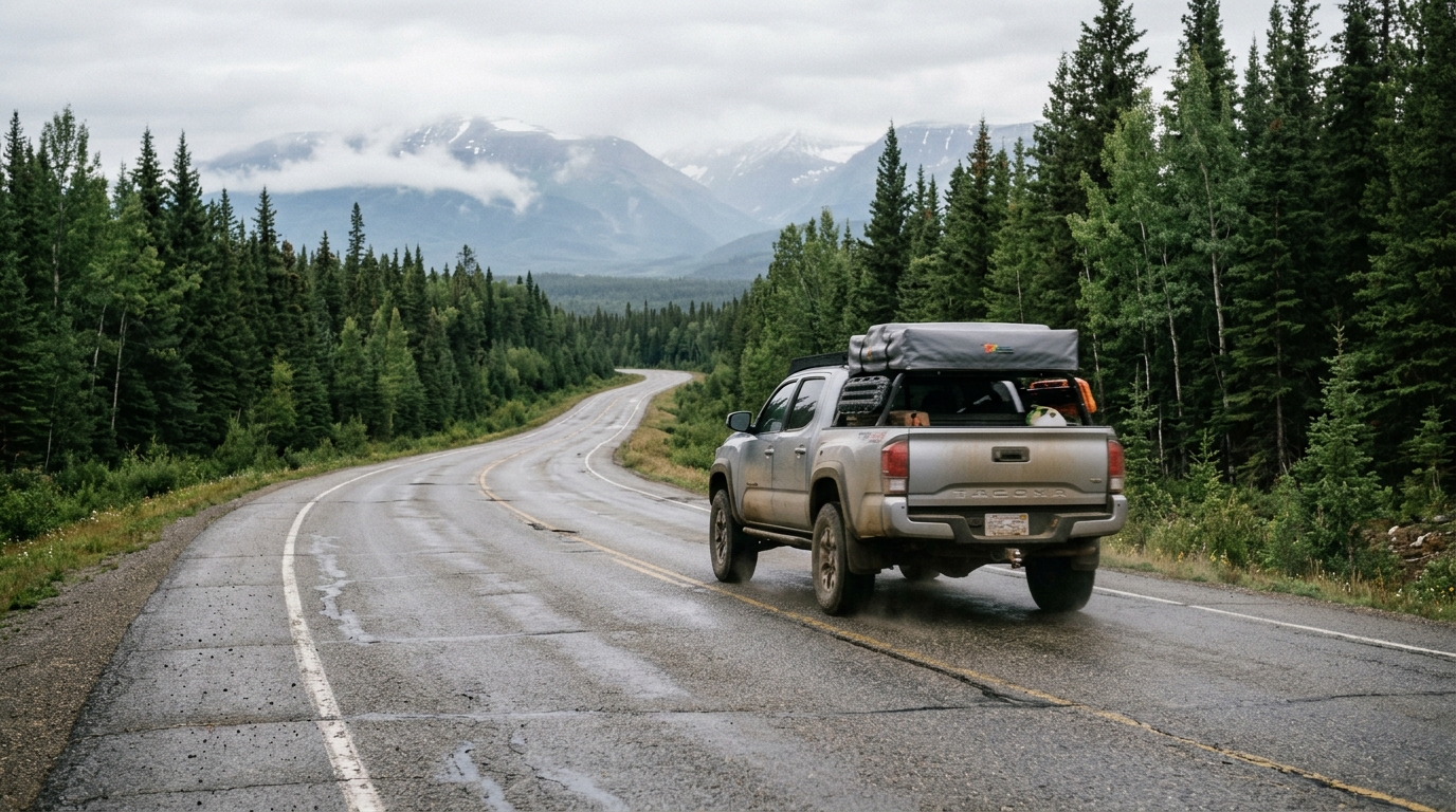
Road conditions require active attention. While paved from start to finish, the highway sits on continuous permafrost. Sub-surface thaw cycles produce frost heaves, washboard sections, and sudden dips that launch unsecured gear. Summer is repair season in Canada. Plan for single-lane gravel bypasses, pilot cars, and delays of 20 to 45 minutes outside Whitehorse and near the Yukon-Alaska border.
The prime driving window runs from June 1 through early September. Driving in May or late September brings risks of sub-freezing blizzards in mountain passes, where seasonal services are closed.
Route option 2: the Cassiar Highway for wilderness driving
British Columbia Highway 37, called the Stewart-Cassiar Highway, runs parallel to the Alaska Highway but sits further west, closer to the Coast Mountains. It diverges from BC Highway 16 near Kitwanga and tracks north for 450 miles before joining the Alaska Highway west of Watson Lake, Yukon.
On paper, the Cassiar saves roughly 100 to 140 miles for drivers approaching from Vancouver, Seattle, or northern Oregon compared to routing east through Dawson Creek. That mileage reduction comes with distinct operational differences:
- Fuel windows are spaced 90 to 150 miles apart at Meziadin Junction, Bell II, and Dease Lake, with several stations operating seasonal daytime hours.
- Wilderness density is high along raw boreal forest and river canyons, with frequent sightings of black bears, grizzly bears, and moose on highway shoulders.
- Pavement is narrower, shoulders are thin or missing in spots, and single-lane wooden bridges span several river crossings.
- Communication is sparse because long stretches lack cellular coverage, meaning a breakdown requires waiting for a passing motorist or using a satellite messenger.
Drivers can check real-time road construction notices and bridge conditions directly through DriveBC before choosing Highway 37.
The Cassiar suits drivers whose vehicles are in sound mechanical health and carry a full-size spare tire. Skip the Cassiar if you are towing a heavy travel trailer for the first time, traveling with small children, or uncomfortable operating with half a tank between distant depots.
Border crossings and paperwork: what Canada and the US require
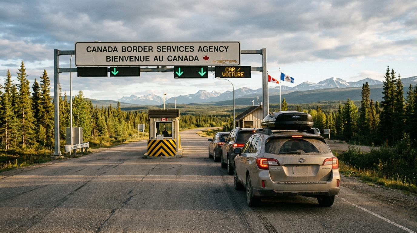
Crossing international boundaries twice is unavoidable when driving to Alaska from the lower 48 states. You pass into Canada from the northern contiguous US, and days later you pass from Canada into Alaska at a US border station. On the return drive, the process repeats in reverse.
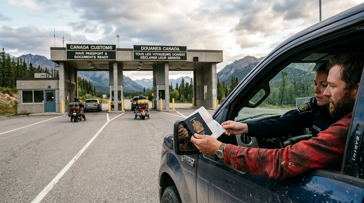
Entry requirements for US citizens crossing land borders are regulated by the US Customs and Border Protection Western Hemisphere Travel Initiative. A valid US Passport book is the standard document. US Passport Cards and Enhanced Driver's Licenses issued by select states are legally accepted at land border ports, though carrying a standard passport book is prudent in case an emergency forces you to board a commercial flight out of Whitehorse or Vancouver.
When entering Canada, border officers with the Canada Border Services Agency verify your identification, travel purpose, criminal admissibility, and declarations. Common friction points include:
- Canada treats driving under the influence (DUI or DWI) as an indictable serious crime. An impaired driving conviction, even a misdemeanor from ten years ago, can make a driver legally inadmissible without prior administrative approval.
- Handguns, assault-style rifles, and self-defense pepper sprays intended for human confrontation are prohibited or heavily restricted. Bear spray is permitted when EPA-labeled clearly for deterrent use against wildlife. Declare all bear spray verbally.
- Dogs and cats must have current rabies vaccination certificates signed by a licensed veterinarian.
- Agricultural rules shift throughout the season, and raw poultry, eggs, and certain fresh fruits or meats may be seized depending on active regional restrictions.
Border stops at remote crossings like Beaver Creek and Alcan take 10 to 20 minutes when paperwork is ready. High-volume crossings near Vancouver, like Peace Arch, back up for one to two hours during summer weekends. Keep your vehicle registration, personal identification, auto insurance cards, and printed reservation confirmations inside a physical folder on your passenger seat. Remote border outposts frequently lack cellular data networks.
Fuel, vehicle, and roadside prep for driving to Alaska from the lower 48
Driving to Alaska from the lower 48 requires sound mechanics instead of four-wheel drive or a lifted suspension. Standard sedans, front-wheel-drive minivans, and crossover SUVs complete the drive every summer. The vehicle must be mechanically sound and properly equipped.
Punctured tires and cracked windshields are normal hazards. Logging trucks and commercial road grading kick up coarse crushed stone on gravel detours. Follow these operational rules before departure:
- Mount tires with deep tread, avoiding aging all-season radials nearing wear bars. Carry a matched full-size spare tire instead of a compact temporary tire, and check that your lug wrench, bottle jack, and a wooden block for soft shoulder support are functional.
- Never pass an open fuel pump when your tank drops to half, especially on the Cassiar or the Yukon stretches between Destruction Bay and Beaver Creek. While spare fuel cans are not mandatory on primary paved routes, a five-gallon container adds peace of mind. Learn more about distance gaps in our guide to .
- Review rental contracts carefully if hiring a vehicle in the lower 48, because standard contracts frequently prohibit driving outside the contiguous United States or operating on unpaved surfaces.
- Pack a digital tire pressure gauge and a 12-volt air compressor to handle pressure changes caused by dropping ambient temperatures in mountain passes.
- Download full offline maps for British Columbia, Yukon, and Alaska before crossing the border, and keep a printed physical road atlas inside the cabin.
Maintain a safe following distance of several car lengths behind transport trucks. Slow down noticeably when passing oncoming tractor-trailers on loose gravel stretches to reduce the velocity of thrown rocks.
Once you arrive: planning the Alaska leg is the real work
Crossing the border at Alcan brings relief, but Tok is merely the threshold. The Alaska Highway terminates at Delta Junction, 108 miles further down the road. At this point, your logistical challenge pivots from endurance driving to scheduling.
Alaska's geography surprises first-time drivers. The highway system is sparse and has few loops, meaning you will frequently backtrack along the same corridor. Driving from Tok down to Anchorage takes roughly 7 to 8 hours without long sightseeing stops. Anchorage to the Homer Spit takes another 4.5 to 5 hours. Driving north from Anchorage to Denali National Park runs 4 to 5 hours under normal conditions. Mountain terrain, slow recreational vehicles, and construction reduce realistic highway speeds to 45 to 55 miles per hour across most interior arteries.
For visitors traveling in 2026, infrastructural changes demand proactive adjustments. As documented on the National Park Service Denali road conditions page, the Denali Park Road remains closed to public transit buses past Mile 43 at the Pretty Rocks landslide zone while bridge construction proceeds. That means you cannot ride transit or tour buses to Eielson Visitor Center at Mile 66 or Wonder Lake at Mile 85. Allocating three full days inside Denali expecting to tour deep backcountry by bus leaves you stranded; that extra day is better spent exploring the Kenai Peninsula or Hatcher Pass. Keep up with these details through our breakdown of the Denali Park Road closures.
Peak summer lodging is the bottleneck where unguided road trips unravel. In towns like Seward, Talkeetna, and Homer, hotel rooms, cabins, and dry RV spaces sell out months ahead. Arriving in Tok or Fairbanks without a reserved room in June or July forces drivers into unmaintained roadside motels or sleeping in rest areas.
Alaska Road Trip hand-picks lodging and gives you direct booking links, but you book it yourself—it does not make reservations on your behalf, so you keep full control and flexibility. Having that framework established before crossing the border prevents you from spending valuable daylight hours hunting for a vacant bed.
Trip duration and how to pace your travel days
The most common planning error is underestimating how many vacation days the drive consumes. If your total window away from home is two weeks, do not attempt to drive to Alaska from the lower 48. A round-trip road transit from Seattle to Anchorage and back requires 12 to 14 days of sustained highway driving. You spend ten days in transit through Canada only to have 48 hours to explore Alaska before turning around.
Review the realistic distribution of your calendar across these thresholds:
- A two-week vacation window works best by flying into Anchorage or Fairbanks, renting a car locally, and spending your entire stay inside the state. For concrete ideas on structuring that time, examine our 10-day Alaska road trip itinerary.
- A three-week window is the minimum timeframe for a one-way driving trip. You spend 6 days driving north through Canada, 10 to 12 days completing a focused loop inside Alaska (such as Kenai Fjords, Denali, and the Glenn Highway), and drop your vehicle or catch a ferry south. If driving both ways, three weeks still leaves less than seven days inside Alaska.
- A four-week window provides a balanced pace for retirees and remote workers driving round-trip. You spend a week traversing the Canadian corridors, two full weeks touring Southcentral and Interior Alaska, and another week exploring alternative return legs, such as taking the Cassiar south and the Alaska Highway north.
Treat every 400-mile driving day as a dedicated travel day. Expecting to complete a six-hour mountain drive in the morning and take a six-hour Kenai Fjords glacier boat excursion in the afternoon leads to missed check-ins and exhaustion.
Where self-drive route planning breaks down
Executing successful route planning rarely fails on the highway itself. Canada and Alaska provide clear signage, simple road junctions, and straightforward map layouts. Planning fails because of dozens of micro-decisions and seasonal quirks that arise simultaneously once you arrive.
Independent travelers spend 30 to 50 hours parsing disparate travel blogs, local forums, and contradictory social media threads. They struggle to decide whether to split nights between Seward and Homer, how to schedule glacier boat tours around tidal currents, or which side roads are safe for passenger cars. In peak season, picking the wrong night to stay in an interior town can mean finding every property booked within a 90-mile radius.
Alaska Road Trip solves this by building custom day-by-day Alaska road-trip itineraries hand-built by a named founder. Every itinerary is hand-built by a named founder who has driven these routes on eight Alaska trips between 2015 and 2024, across four seasons. Real operational experience is built into your route plan.
Alaska Road Trip is a one-time flat fee, not a subscription—there are no recurring charges. Tiers accommodate different travel lengths:
- Lite covers short trips of one to five days.
- Standard covers routes lasting up to two weeks.
- Plus covers extended road trips beyond two weeks.
- Concierge adds a 30-minute live call directly with the founder to walk through routes and answer complex questions.
Each custom itinerary is delivered as a printable, offline-ready PDF within 3 to 5 business days, complete with 1 to 2 revision rounds to dial in your exact pace. Alaska Road Trip does not book flights or rental cars; you arrange those independently. Furthermore, Alaska Road Trip recommends activities and tours with timing and booking links; you reserve them yourself. Itineraries reflect current-season research at the time they're built. The trip dashboard can check available park, road, weather, and aurora data, but Alaska Road Trip does not provide real-time booking availability, live tracking, or guaranteed live condition monitoring. If the plan does not meet your expectations, the service carries a published 14-day money-back guarantee with a full refund and no questions asked.
Pre-departure checklist for the drive north
Review this mechanical and logistical checklist before starting your vehicle for the border run:
- Valid passport books, vehicle registration card, proof of auto insurance with Canadian coverage, and veterinary rabies documentation for accompanying pets.
- Tires with substantial tread, an inflated full-size spare, hydraulic bottle jack, wooden support block, lug wrench, and a 12-volt air compressor.
- Jumper cables or a lithium-ion jump starter pack, tow strap, two gallons of extra windshield washer fluid, headlamp with extra batteries, and basic hand tools.
- Offline maps saved directly to phone storage, paired with an up-to-date physical highway map or atlas.
- At least two credit cards (with travel notices placed for Canada and Alaska) plus emergency Canadian cash for small roadside trading posts.
- Lodging reservations for your first three nights in Canada, fuel stops marked on your route, and a structured plan for your initial days inside Alaska.
The drive is solvable, but the Alaska route is the real challenge
Learning how to get to Alaska by car shows that the drive north is entirely solvable. The Alaska Highway and Stewart-Cassiar Highway are proven, well-traveled, scenic corridors that welcome thousands of drivers every summer. If you maintain mechanical discipline, carry the required identification, honor your vehicle's fuel range, and respect road construction zones, you will reach the state without drama.
The variable that determines whether your trip succeeds is what you execute once you clear customs at Tok. Alaska does not forgive improvised logistics during high summer. Trying to figure out where you will sleep, how to adjust for the Denali road closure, or when to book glacier cruises while driving down the highway leads to high stress and missed sights.
If the drive north is the straightforward part and the Alaska leg is where you second-guess your plans, Alaska Road Trip will hand-build your day-by-day route for a flat one-time fee, backed by a published 14-day money-back guarantee. View tier details and start your route at alaskaroadtrip.com/plan-your-trip.
Frequently asked questions
How do I get to Alaska?
You can get to Alaska by air via commercial airports in Anchorage or Fairbanks, by sea on cruise ships and the Alaska Marine Highway ferry system, or overland by car. Driving requires traveling through Canada via British Columbia and Yukon on either the Alaska Highway or the Stewart-Cassiar Highway.
Can you travel to Alaska by car?
Yes, you can travel to Alaska by car. The highway system is paved and accessible to normal passenger cars, motorhomes, and trucks during the summer season. Every land route requires crossing the international border into Canada and driving through British Columbia and Yukon before entering eastern Alaska.
How do I drive to Alaska?
To drive to Alaska, reach Dawson Creek, British Columbia, or Kitwanga, British Columbia, from your lower-48 starting point. From Dawson Creek, drive northwest along the 1,387-mile Alaska Highway through Whitehorse to Delta Junction, Alaska. Alternatively, take the Stewart-Cassiar Highway north from Kitwanga to join the Alaska Highway near Watson Lake.
How many days does it take to drive to Alaska from the lower 48?
Driving straight through from Seattle to the Alaska border requires 5 to 7 days, averaging 400 to 500 miles daily. A comfortable sightseeing pace that accommodates construction delays, wildlife stops, and hot springs requires 8 to 12 days one way. Reaching Anchorage or the Kenai Peninsula adds another full day of driving.
Do you need a passport to drive to Alaska through Canada?
Yes. Because driving to Alaska requires entering Canada

See a real Alaska itinerary before you spend a dollar
A real 3-day plan with driving times, lodging picks, and a daylight chart — free, in your inbox.
One email. No spam. Unsubscribe anytime. Or view it right now — no email needed ↗
Ready for the full plan? Get your custom itinerary — from $197 · 5-day delivery →